Search Results for: trusted cvv sites, 【 Visit Amsiga.com 】 ojM3t2s., buy cvv, auto cvv shop, cheap dumps cc eXtA
About the Cruise Guide
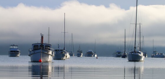
The Cruise Guide to the Marlborough Sounds is an interactive App and website of marinas, anchorages, boat ramps, facilities, and other local features and knowledge presented visually on a smart map, together with imagery and nautical charts.
The Cruise Guide stands out from traditional, printed guide books because it is live and regularly updated. It provides the means to continually modify its content to include the latest available information.
Alldata entered is moderated by local experts and provides the type of information boaties and… More
Oil Spill
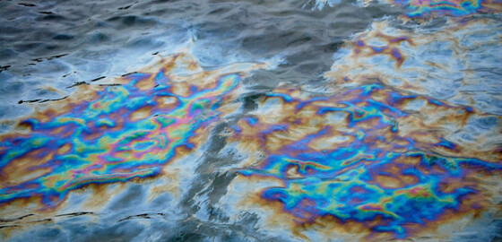
Oil spills on the water must be reported to the Marlborough Harbour Master.
In the event of an oil spill:
Please call 03 520 7400 (24 hrs) to report a spill;
Alternatively, advise Picton Harbour Radio on VHF 18 or Marlborough - Nelson Marine Radio on VHF 01 or 65.
It is an offence to discharge any oil products at sea and fines can be severe. Please only discharge oily waste at approved sites in the marinas. More
Punga Cove
 View on Map
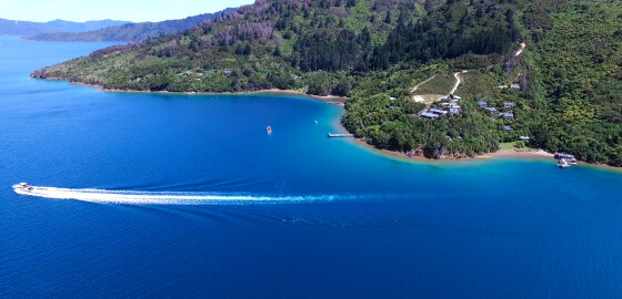
Punga Cove has a wharf, moorings and licensed restaurant.
Visit the website: http://www.pungacove.co.nz/ More
Maritime NZ

Maritime NZ describes the New Zealand organisation that ensures the maritime environment is safe, secure and clean for all its users and that it stays that way well into the future.
For more information please visit: http://www.maritimenz.govt.nz/ More
Tidal Information
These tide heights and times are estimated as offsets from the closest main port of Picton, Nelson, Wellington, or Taranaki.
For more information please visit http://www.linz.govt.nz/sea/tides/tide-predictions More
Marlborough Events
For marine related events within the Marlborough Sounds visit marlboroughnz.com/events More
Bird Island
 View on Map
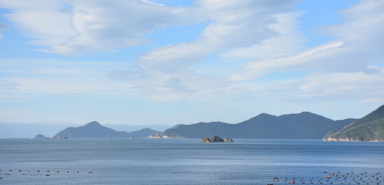
Bird Island in the middle of Forsyth Bay is surrounded by a shelf of rock, extending out under the sea. Although there are no particular outlying dangers, a clearance of at least 40 m should be given from the visible rocks. Sugar Loaf Rocks to the south-west of Allan Strait extend nearly half a mile to the west from the land. As all these rocks are unlit, considerable care should be taken when navigating in this area at night. There… More
Te Mahia Bay
 View on Map
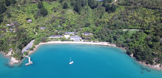
At the southern end of this bay is the Te Mahia motel complex. It consists of 13 self-serviced units and has an extensive shop that includes bait and tackle. There is a new wharf with a floating jetty. Access to the wharf is on the inner side only.
Holding in this area is only fair and the main part of the bay is open to all winds. Anchorage is not recommended in the southern end of the bay, out from the old… More
Fishing
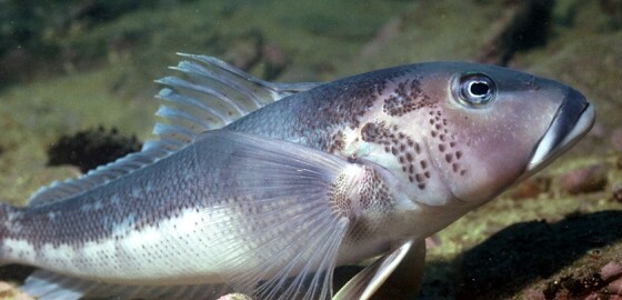
For information about fish size and catch limits please visit: Challenger Area Fishing Limits
Restrictions apply to the Blue Cod fishery - Challenger East Area (includes Marlborough Sounds Area)
Marlborough Sounds Area Only
Closed: 1 September – 10 January 2026.
Daily Limit: 2 per fisher
You can possess up to 4 blue cod in the Challenger East Area (includes the Marlborough Sounds Area) if you can prove that no more than 2 of those blue cod were taken on any one day from the Challenger East Area.… More