Harbourmaster Notifications
The light at Dart Rock is currently extinguished. A temporary buoy will be established pending repairs. All mariners are advised to navigate with caution in the vicinity. read on
Mariners are advised that the ‘Turn Point North’ Aid to Navigation (AtoN) based in the Pelorus Sound has undergone a permanent change to its light characteristics.
The light sequence has been updated from Fl (2) W 15 s to Fl (3) W 15 s.
Mariners are advised to navigate with caution. read on
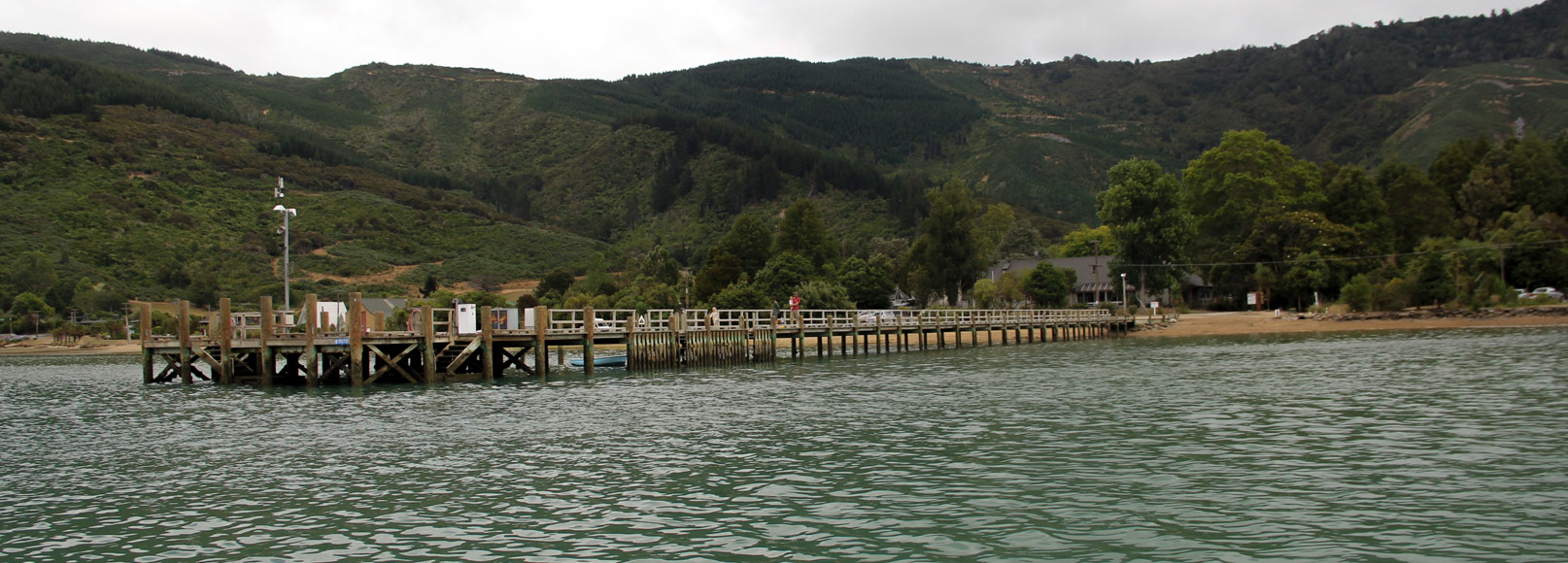
Harbour Notice 23-2026
A special mark buoy has been placed in position 41° 09.781′ S 173° 47.621′ E at Marine Farm 8354 in Nydia Bay.
'The buoy will be used to detect phytoplankton as part of the Mogeo pilot.
A further special mark buoy has been placed at Marine Farm 8646 in the Kenepuru Sound.
All mariners are advised to navigate with caution. read on
An exclusive construction zone is in effect East of No.1 Long Arm. This area is defined on the Eastern boundary by lit yellow special marks. Only vessels involved in construction works are permitted to be within this area.
All mariners are advised to navigate with caution. read on
Harbour Notice 23-2026
A special mark has been placed in position 41° 09.781′ S 173° 47.621′ E at Marine Farm 8354 in Nydia Bay.
'The buoy will be used to detect phytoplankton as part of the Mogeo pilot.
All mariners are advised to navigate with caution. read on
The Harbourmaster is making enquiries to identify the owner of the 24 ft white yacht that has no mast
currently on a mooring in Elaine Bay. If you are or know the owner, contact the Harbourmaster by email to
[email protected] or via phone on 03 520 7400. Quoting incident number 12247 when you
make contact. read on
Harbour Notice 21-2026.
Maritime Transport Act 1994 s33L
The vessel HOT PANTZ is described as a white 6-metre yacht.
The vessel is currently moored in Picton Harbour on mooring M3872.
If no person claims ownership of the vessel within one month of this notice being advertised, Marlborough District Council will sell or dispose of the vessel.
If you are the owner, or know the owner,… read on
Harbour Notice 19-2026
Maritime Transport Act 1994 s33L
The vessel WILD CHORUS is described as a white 12 metre ferro cement yacht. The vessel is currently moored in Whatamango Bay on mooring #2861.
If no person claims ownership of the vessel within one month of this notice being advertised, Marlborough District Council will sell or dispose of the vessel.
If you are the owner,… read on
Harbour Notice 15-2026
The Harbourmaster is making enquires to identify the owner of a WHITE YACHT which is currently moored on mooring 2540 in Waikawa Bay. If you are or know the owner, contact the Harbourmaster by email to [email protected] or via phone on 03 520 7400. Quoting incident number 12400 when you make contact. read on
20 November 2025
In addition, a wreck has been found in Tom Canes Bay located at position 41°19.175'S, 174°06.663'E. It is located approximately in 4.3 metres of water.
All mariners are advised to navigate with caution.
----------
24 October 2025
Uncharted rocks have been located during survey work in the vicinity of position 41 21.820’ S 174 05.519’ E.
Depths are at 6m below chart datum,… read on