Search Results for: https://www.galaxus.ch/en/sector/showdiscussion/snaptool-hack-visit-kunghaccom-gn0y942e-225271
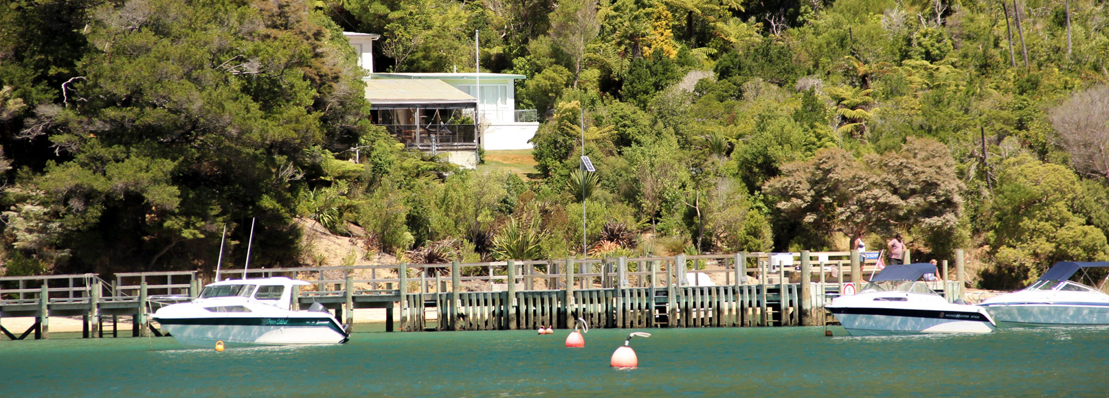
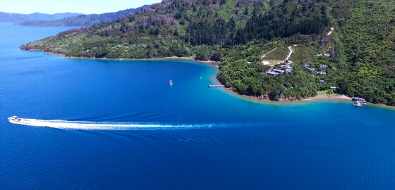
Punga Cove
 View on Map
Punga Cove has a wharf, moorings and licensed restaurant.
Visit the website: http://www.pungacove.co.nz/ More
Maritime NZ

Maritime NZ describes the New Zealand organisation that ensures the maritime environment is safe, secure and clean for all its users and that it stays that way well into the future.
For more information please visit: http://www.maritimenz.govt.nz/ More
Tidal Information
These tide heights and times are estimated as offsets from the closest main port of Picton, Nelson, Wellington, or Taranaki.
For more information please visit http://www.linz.govt.nz/sea/tides/tide-predictions More
Marlborough Events
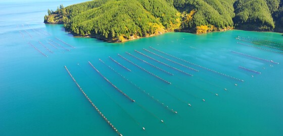
For marine related events within the Marlborough Sounds visit marlboroughnz.com/events More
Saddle Rocks & Flat Rocks
 View on Map
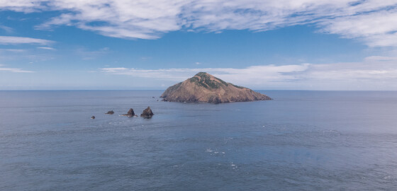
The Saddle Rocks are a group of low saddle-like rocks lying in Stephens Passage.
Flat Rocks, previously known as Tower Rocks or Steeple Rocks, are often confused with nearby Saddle Rocks. These rocks lie south of Saddle Rocks.1
In January 1912, the steamer, Jane Douglas was wrecked upon Saddle Rocks in the early hours of the morning. The crew were all saved but the ship sank in five minutes.
During the resulting court enquiry, the captain of the ship, Captain Charles Vendore, stated… More
Hakahaka Bay
 View on Map
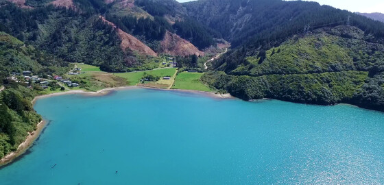
The origin of this bay’s name is uncertain.
In Māori, hakahaka means squat, short or low lying.1
1. “Hakahaka”, Te Aka Māori Dictionary, accessed, May, 7, 2019, https://maoridictionary.co.nz/search?idiom=&phrase=&proverb=&loan=&histLoanWords=&keywords=hakahaka . More
Billhook Bay
 View on Map
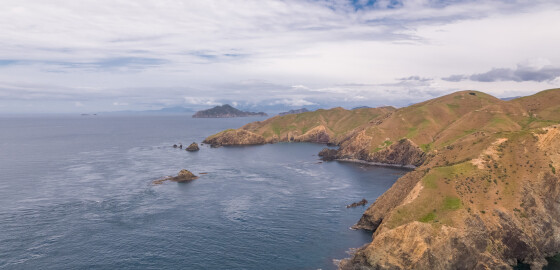
The bay north of Billhook Bay is known as the Gut.
In 1973 at the point between Billhook Bay and the Gut a rare fossil of an extinct marine mollusc known as an ammonoid was found by J. B. Waterhouse.
The ammonoid species was named d’Urvilleoceras Woodmani Waterhouse.1
The discovery of this fossilised species was significant as it ignited scientific debate around the geological origin of the sandstone and limestone rock that makes up a significant proportion of Rangitoto ki te Tonga /… More
Whites Bay
 View on Map
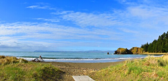
Since 2014, this bay has been officially recognised by the name, Pukatea/ Whites Bay.
This dual name is a result of respective Treaty of Waitangi settlements between iwi from Te Tau Ihu (tribes from the top of the South Island) and the Crown.1
1. “Puketea/Whites Bay”, New Zealand Gazetteer, (Land Information New Zealand, 2019), accessed, April 2, 2019, https://gazetteer.linz.govt.nz/place/48575 . More
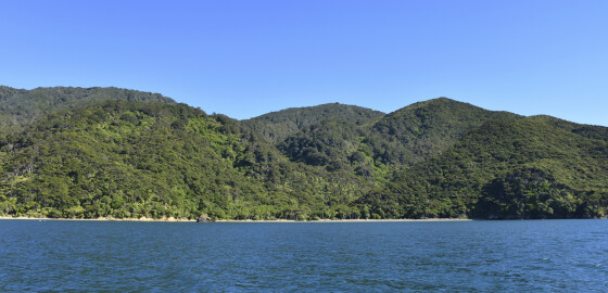
Lucky Bay
 View on Map
This bay hosts a small Department of Conservation campsite.1
1. 'Lucky Bay Campsite', Department of Conservation, accessed, June 5, 2018, https://www.doc.govt.nz/parks-and-recreation/places-to-go/marlborough/places/french-pass-and-durville-island-scenic-reserves/things-to-do/campsites/lucky-bay-campsite/ . More