Search Results for: https://www.galaxus.ch/en/sector/showdiscussion/snaphack-online-visit-kunghaccom-o9b7u10m-226205
Fishing
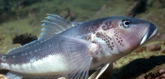
For information about fish size and catch limits please visit: Challenger Area Fishing Limits
Restrictions apply to the Blue Cod fishery - Challenger East Area (includes Marlborough Sounds Area)
Marlborough Sounds Area Only
Closed: 1 September – 10 January 2026.
Daily Limit: 2 per fisher
You can possess up to 4 blue cod in the Challenger East Area (includes the Marlborough Sounds Area) if you can prove that no more than 2 of those blue cod were taken on any one day from the Challenger East Area.… More
Ragged Point to Okarewa Point
 View on Map
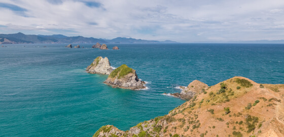
Ragged Point is a jagged rocky point of land at the entrance to Greville Harbour. The area surrounding the point contains several caves. Local legend recalls, how for many years, one of these caves contained the anchor of the schooner Fancy, which was wrecked nearby in 1868.1There is a small bay to the south of the point which was probably the site of an ancient pakohe (argillite) flaking floor. A large number of stone flakes have been found in the… More
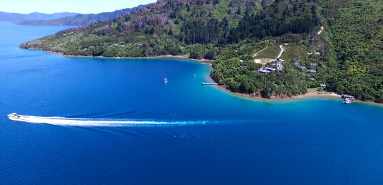
Punga Cove
 View on Map
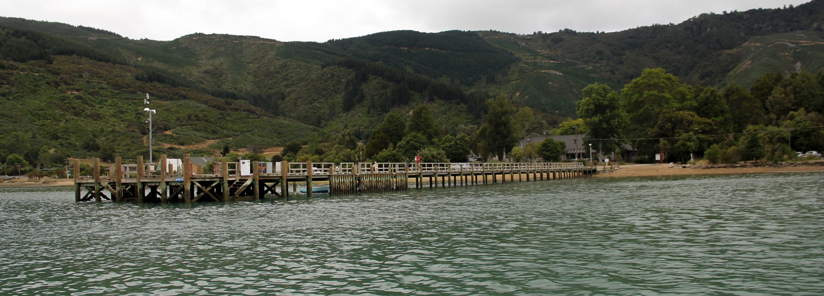
Punga Cove has a wharf, moorings and licensed restaurant.
Visit the website: http://www.pungacove.co.nz/ More
Maritime NZ

Maritime NZ describes the New Zealand organisation that ensures the maritime environment is safe, secure and clean for all its users and that it stays that way well into the future.
For more information please visit: http://www.maritimenz.govt.nz/ More
Tidal Information
These tide heights and times are estimated as offsets from the closest main port of Picton, Nelson, Wellington, or Taranaki.
For more information please visit http://www.linz.govt.nz/sea/tides/tide-predictions More
Marlborough Events
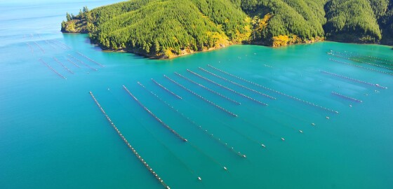
For marine related events within the Marlborough Sounds visit marlboroughnz.com/events More
Privacy Statement
Your privacy is important to us at MDC. Our privacy statement sets out how, and why we collect and store your personal information, what we will use it for and with whom we can share it.We take our obligations under the Privacy Act 2020 (Privacy Act), and the information privacy principles in the Privacy Act, seriously. This privacy statement has been prepared in accordance with our obligations and your rights under the Privacy Act.Certain products and services we provide may… More
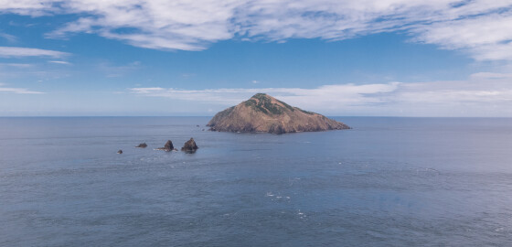
Saddle Rocks & Flat Rocks
 View on Map
The Saddle Rocks are a group of low saddle-like rocks lying in Stephens Passage.
Flat Rocks, previously known as Tower Rocks or Steeple Rocks, are often confused with nearby Saddle Rocks. These rocks lie south of Saddle Rocks.1
In January 1912, the steamer, Jane Douglas was wrecked upon Saddle Rocks in the early hours of the morning. The crew were all saved but the ship sank in five minutes.
During the resulting court enquiry, the captain of the ship, Captain Charles Vendore, stated… More
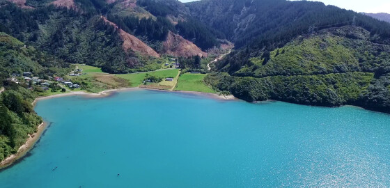
Hakahaka Bay
 View on Map
The origin of this bay’s name is uncertain.
In Māori, hakahaka means squat, short or low lying.1
1. “Hakahaka”, Te Aka Māori Dictionary, accessed, May, 7, 2019, https://maoridictionary.co.nz/search?idiom=&phrase=&proverb=&loan=&histLoanWords=&keywords=hakahaka . More