
Search Results for: https://www.galaxus.ch/en/sector/showdiscussion/hack-snap-free-visit-kunghaccom-asecbuh1-225790
Ragged Point to Okarewa Point
 View on Map
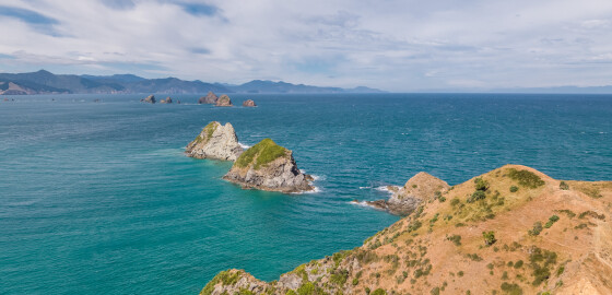
Ragged Point is a jagged rocky point of land at the entrance to Greville Harbour. The area surrounding the point contains several caves. Local legend recalls, how for many years, one of these caves contained the anchor of the schooner Fancy, which was wrecked nearby in 1868.1There is a small bay to the south of the point which was probably the site of an ancient pakohe (argillite) flaking floor. A large number of stone flakes have been found in the… More
The Beef Barrels (Kahikatoa)
View on MapThe Beef Barrels (Kahikatoa) are notorious for having caused many wrecks. They are frequently very difficult to see and usually seem to be further seaward that would be expected from their charted positon. Other rocks, some awash at low water, surround the three main rocks. At spring high water, all rocks are often covered. The area is approximately half a mile in diameter, extremely dangerous and should be given a wide berth. The safest passage is to stay close to… More
Kawhia Bay
 View on Map
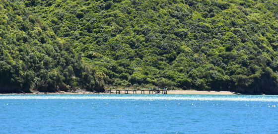
The entrance to this bay is very wide and although there is a sand bank in the middle, it is not extensive and is over three meters deep.
The bays on the eastern side have small beaches and are attractive; however, they are exposed to prevailing W to N winds.
Although giving shelter in SW to S winds, the small size of the bays and shallow depth make it difficult to get far enough into the bays to lay an anchor and… More
Mills Bay
 View on Map
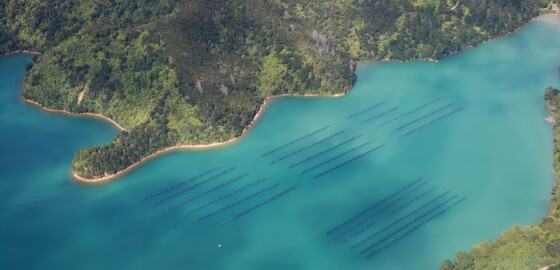
This is an extremely shallow part of Kenepuru Sound and has a large number of mussel rafts but can be a lovely place to take a picnic and have a barbeque with its own picnic table and fire place on the foreshore. There is shelter from N sector winds along the northern shore however it is very shallow. The two coves to the south of Mills Bay provide good shelter in S to W to N winds. Holding is excellent but one… More
Fishermans Bay
 View on Map
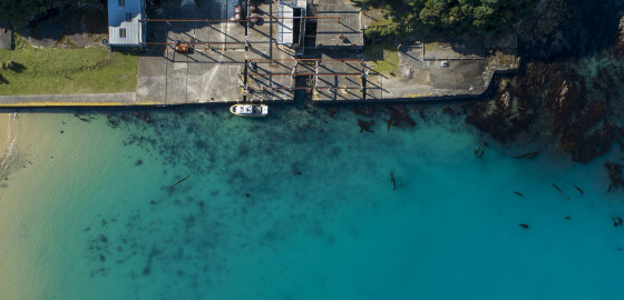
This bay was the location for New Zealand’s final whaling station. Established in 1924 by the Perano family, the station was closed in 1964.The station at Fishermans Bay was New Zealand's most modern industrialised whaling operation. The station was one of the first to use motor launches to hunt whales, and used a steam powered blubber digester to extract the oil from blubber. Today there is still evidence of a large wharf and the skeletal remains of the processing complex,… More
Hallam Cove
 View on Map
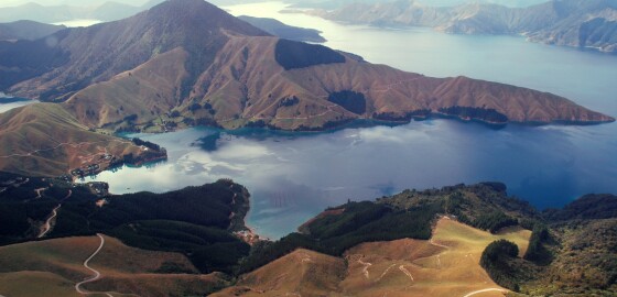
The cove is nearly two miles long and is an extremely attractive part of the Pelorus Sound.
All of the bays along the north-west side are good holding and sheltered anchorages in winds from W to N.
Stern lines can be used. The shores are covered with native bush and pine trees.
The north-eastern end of the bay is shallow.
Hallam Cove seems to miss the force of S sector winds.
The bays on the western shore are of course open to these winds and… More
Onahau Bay
 View on Map
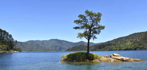
This description relates to the wider body of water before the three bays at the head of Onahau
This bay is very attractive and has good anchorages. Cables are laid across the bottom of various parts of the bay so care must be taken when anchoring.
It is used as an access route to Kenepuru via the road over the saddle to Te Mahia.
The other unnamed bay on the east side of Onahau is very attractive but is not very suitable for… More
About the Cruise Guide
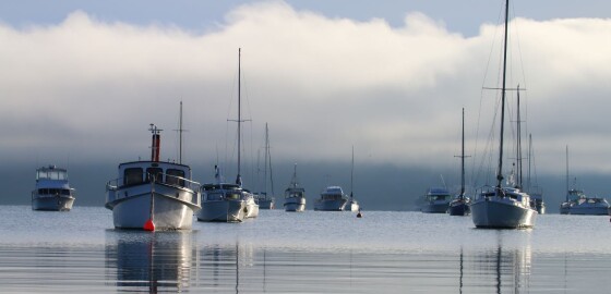
The Cruise Guide to the Marlborough Sounds is an interactive App and website of marinas, anchorages, boat ramps, facilities, and other local features and knowledge presented visually on a smart map, together with imagery and nautical charts.
The Cruise Guide stands out from traditional, printed guide books because it is live and regularly updated. It provides the means to continually modify its content to include the latest available information.
Alldata entered is moderated by local experts and provides the type of information boaties and… More
Ruakaka Bay
 View on Map
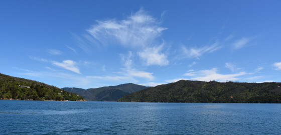
Luke Rock marked by a white beacon with a green flashing light stands at the entrance to this bay. There is deep water all around the beacon but with some weed to the NE side where the water is only two metres deep. It is possible to take boats right up to the beacon.
The bay is one and a half miles wide and tends to act as a wind funnel for both N and S sector winds. Despite this, there… More
Coastal Section East of Brightlands Bay
 View on Map
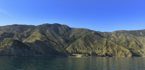
This area of coastline is quite exposed especially to all N sector winds. More