Search Results for: https://www.galaxus.ch/en/sector/showdiscussion/hack-snap-free-visit-kunghaccom-asecbuh1-225790
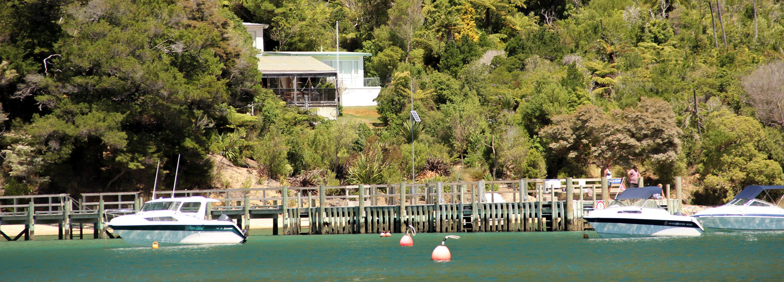
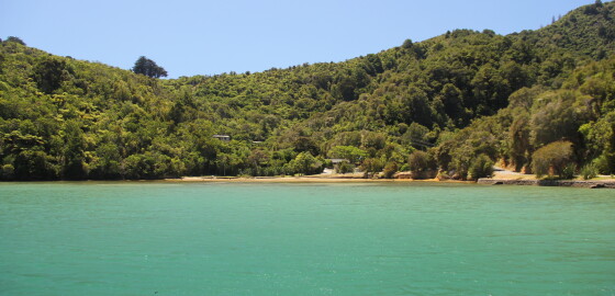
Mistletoe Bay
 View on Map
It is very attractive here and the foreshore and wharf are open to public access.
The bay is sheltered with good holding in N sector winds but is completely exposed to S sector winds.
It is possible to anchor with a line ashore or swing free. Various cables are laid across the bottom of the bay so care must be taken when anchoring.
It is very shallow at the head of the bay and dries out about 20 m from the shore.
There is… More
FAQ
Frequently Asked Questions Can I use the club moorings shown on the Cruise Guide Map?If you wish to use the moorings shown as Club moorings shown on the map in this guide, you must first join one of the three boating clubs:Waikawa Boating Club,
Pelorus Boating Club or
Mana Cruising Club.
Information about these Clubs and membership are found on the following websites: www.waikawaboatingclub.co.nz
www.pelorusboatingclub.com
www.manacc.co.nz
How long will it take to get from Wellington to Picton?Approximately 3.5 hours by ferry and approximately 9 hours by yacht. Where can… More
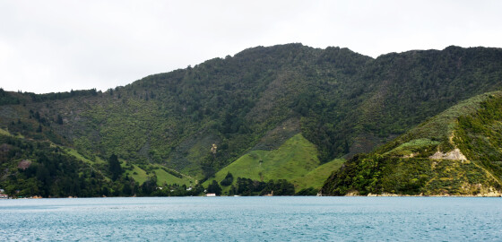
Wilsons Bay (Te Rawa)
 View on Map
At the western end of the bay there is a farm with a wharf which can be used at most states of the tide. To the south of the farm wharf, are the wharves of the Te Rawa Boatels.
Water and stores are available from here. The wharf has 1 meter of water at LWS. Moorings can be available and enquiries should be made at Boatels.
Wilson Bay is a popular anchorage in N sector winds. Most boats anchor near the wharf,… More
Punga Cove
 View on Map
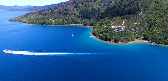
Punga Cove has a wharf, moorings and licensed restaurant.
Visit the website: http://www.pungacove.co.nz/ More
Maritime NZ

Maritime NZ describes the New Zealand organisation that ensures the maritime environment is safe, secure and clean for all its users and that it stays that way well into the future.
For more information please visit: http://www.maritimenz.govt.nz/ More
Tidal Information
These tide heights and times are estimated as offsets from the closest main port of Picton, Nelson, Wellington, or Taranaki.
For more information please visit http://www.linz.govt.nz/sea/tides/tide-predictions More
Marlborough Events
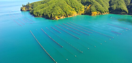
For marine related events within the Marlborough Sounds visit marlboroughnz.com/events More
Saddle Rocks & Flat Rocks
 View on Map
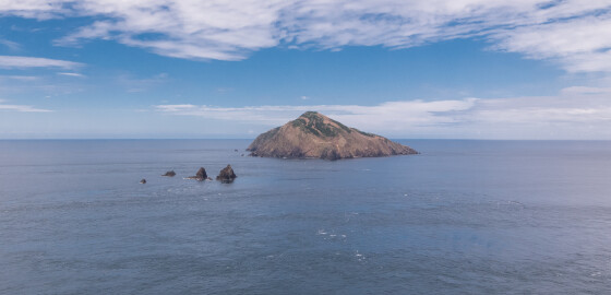
The Saddle Rocks are a group of low saddle-like rocks lying in Stephens Passage.
Flat Rocks, previously known as Tower Rocks or Steeple Rocks, are often confused with nearby Saddle Rocks. These rocks lie south of Saddle Rocks.1
In January 1912, the steamer, Jane Douglas was wrecked upon Saddle Rocks in the early hours of the morning. The crew were all saved but the ship sank in five minutes.
During the resulting court enquiry, the captain of the ship, Captain Charles Vendore, stated… More
Hakahaka Bay
 View on Map
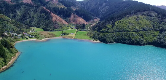
The origin of this bay’s name is uncertain.
In Māori, hakahaka means squat, short or low lying.1
1. “Hakahaka”, Te Aka Māori Dictionary, accessed, May, 7, 2019, https://maoridictionary.co.nz/search?idiom=&phrase=&proverb=&loan=&histLoanWords=&keywords=hakahaka . More