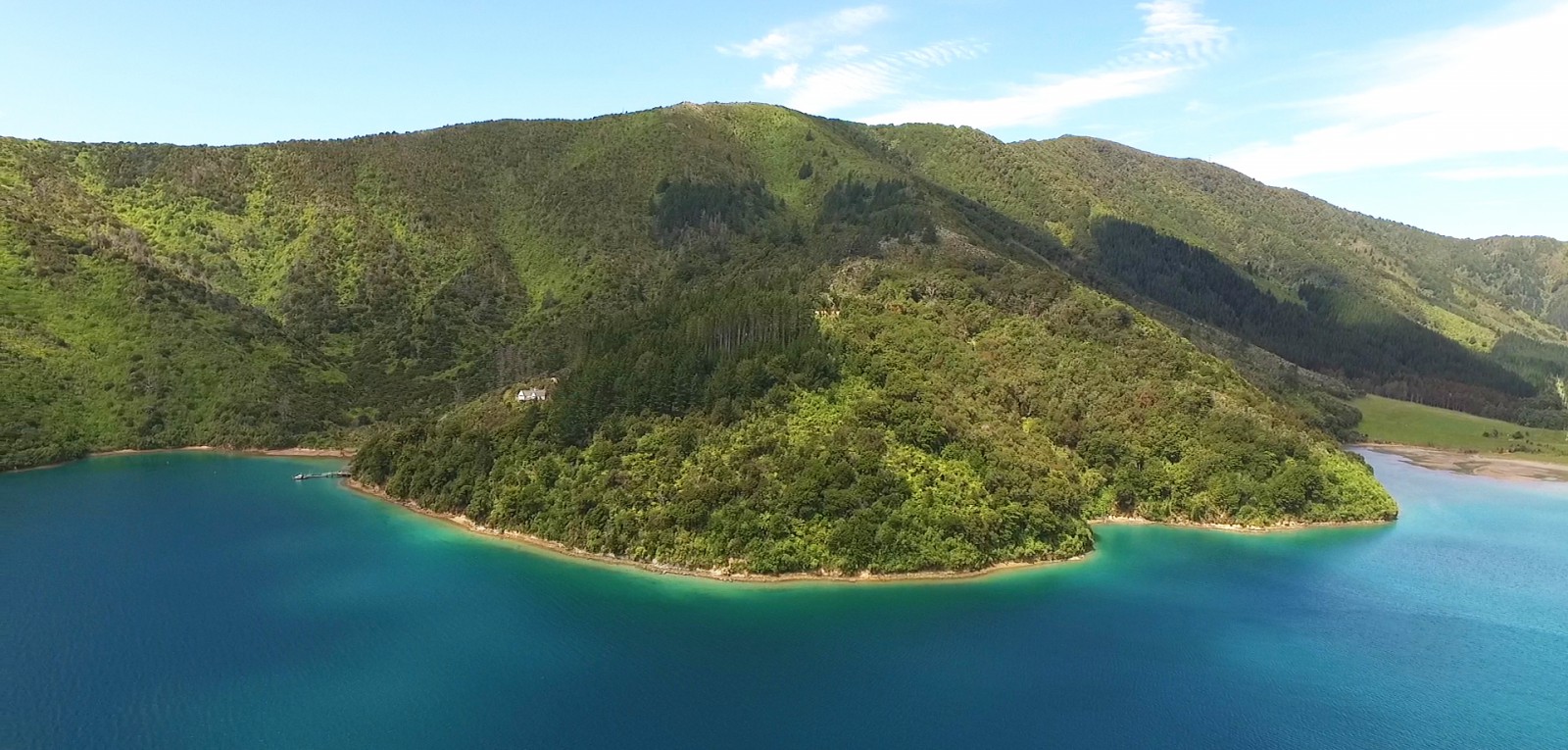
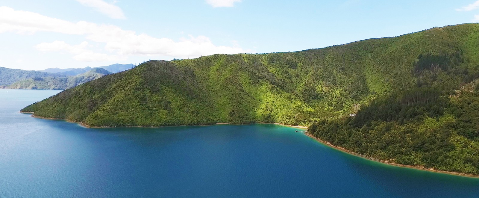
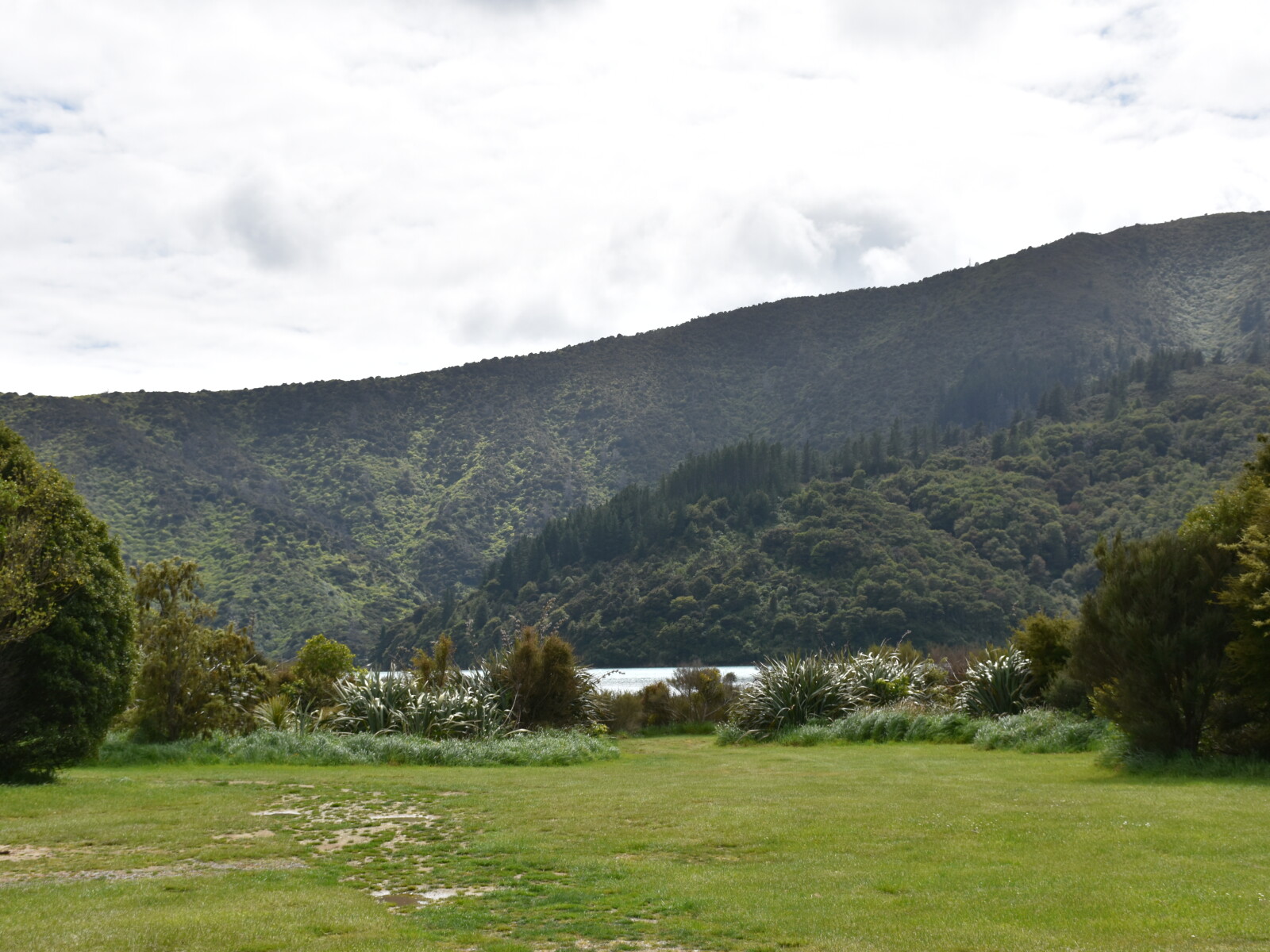
This bay is named after a type of raised storehouse or platform that was used to dry shark flesh.1
As with other bays in Totaranui / Queen Charlotte Sound, Whatamango has a long history of human use. The iwi (tribes) Te Ātiawa o Te Waka-a-Māui and Rangitāne o Wairau are both associated with the area.
The bay was used for the collection of kai moana (sea food), including pipi, cockles, scallops and pāua. There were many edible fish in the bay, including flounder, dog-fish and shark. Oil, extracted from shark was also used to preserve wood carvings.2
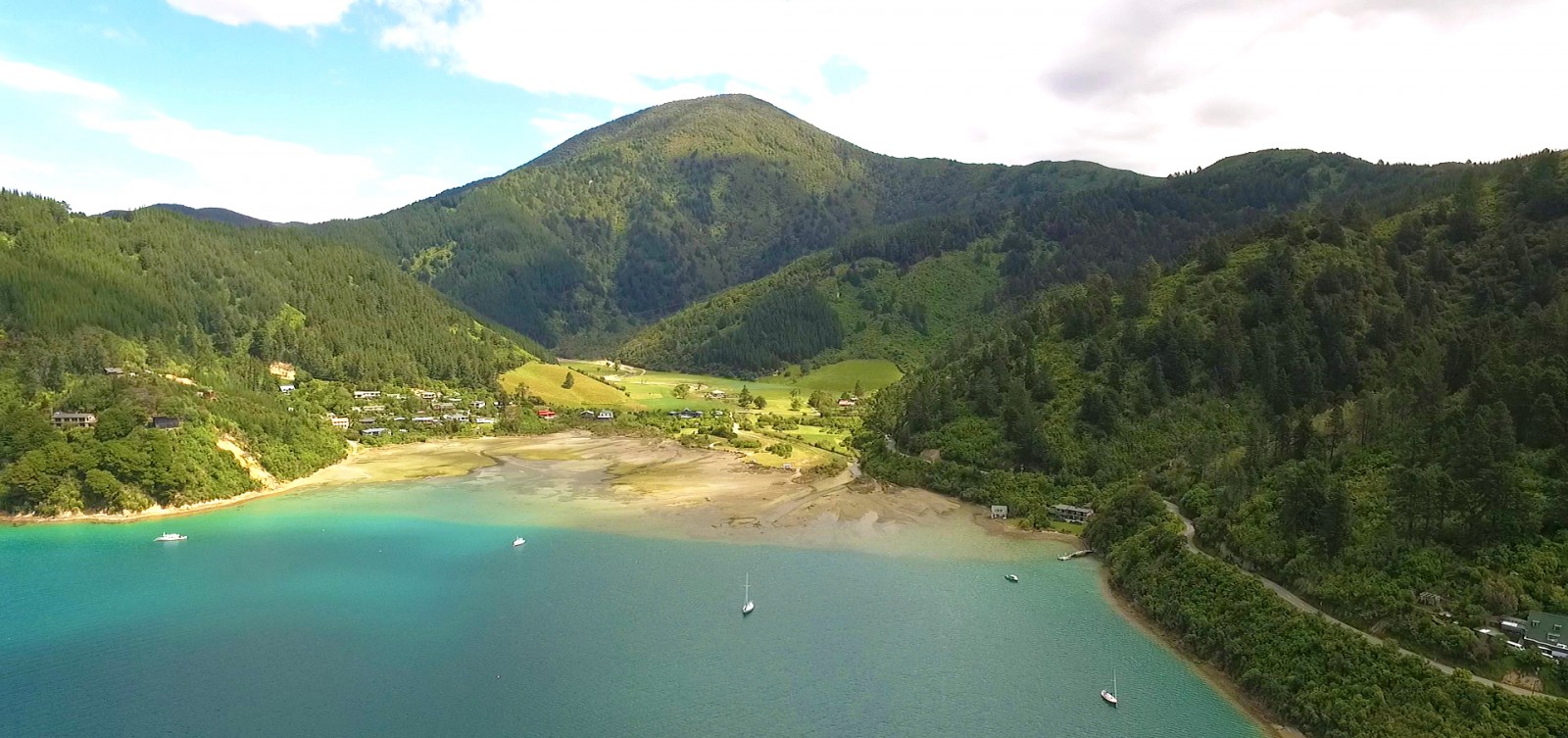
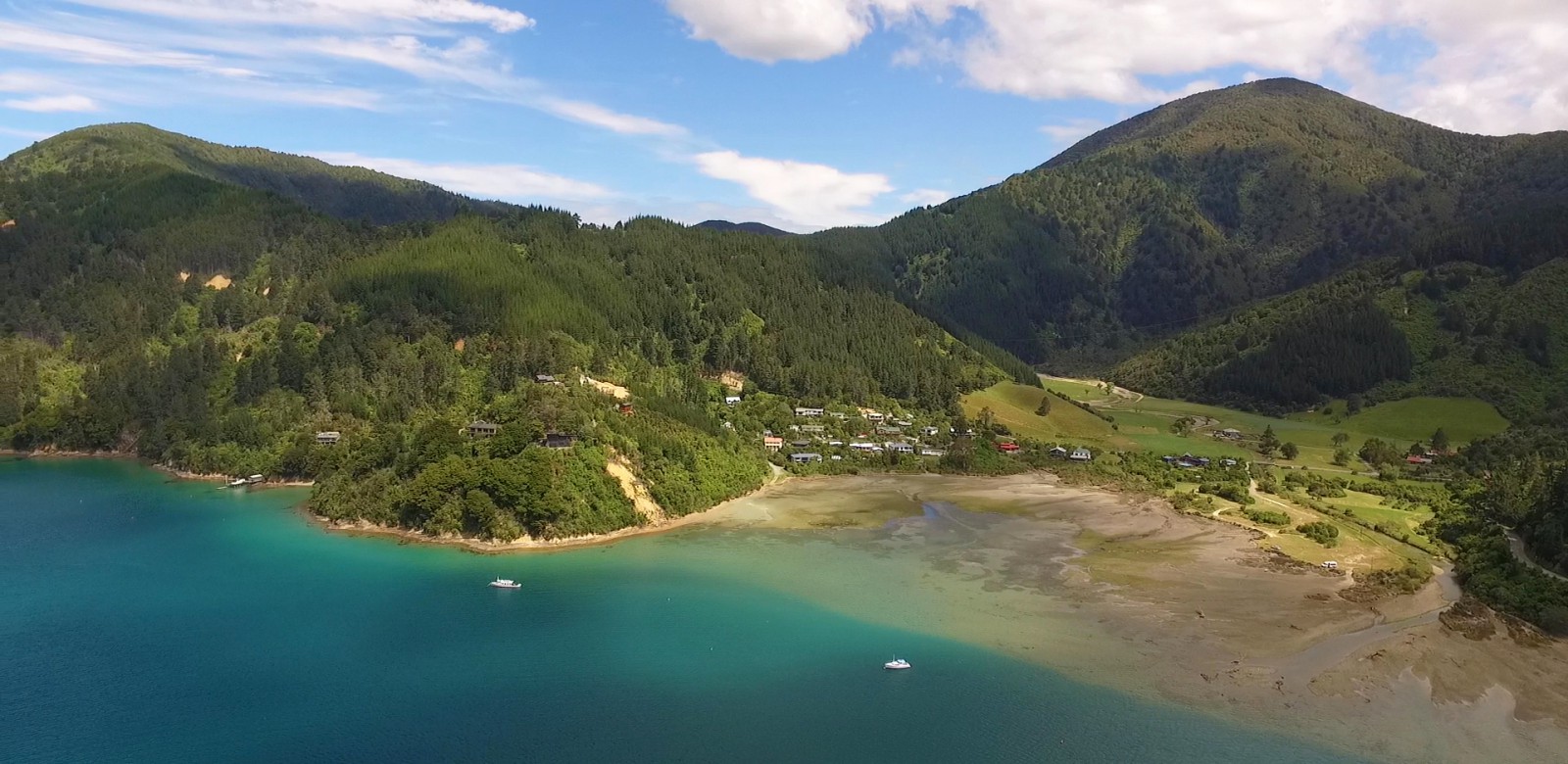
Donald McCormick was one of the first Pākhehā (non-Māori) settlers to live and farm in the bay. An emigrant from Scotland, he bought land in the area during the late 1850s and eventually built a homestead in the bay. The mountain at the head of the bay is named after his family, Mount McCormick.3
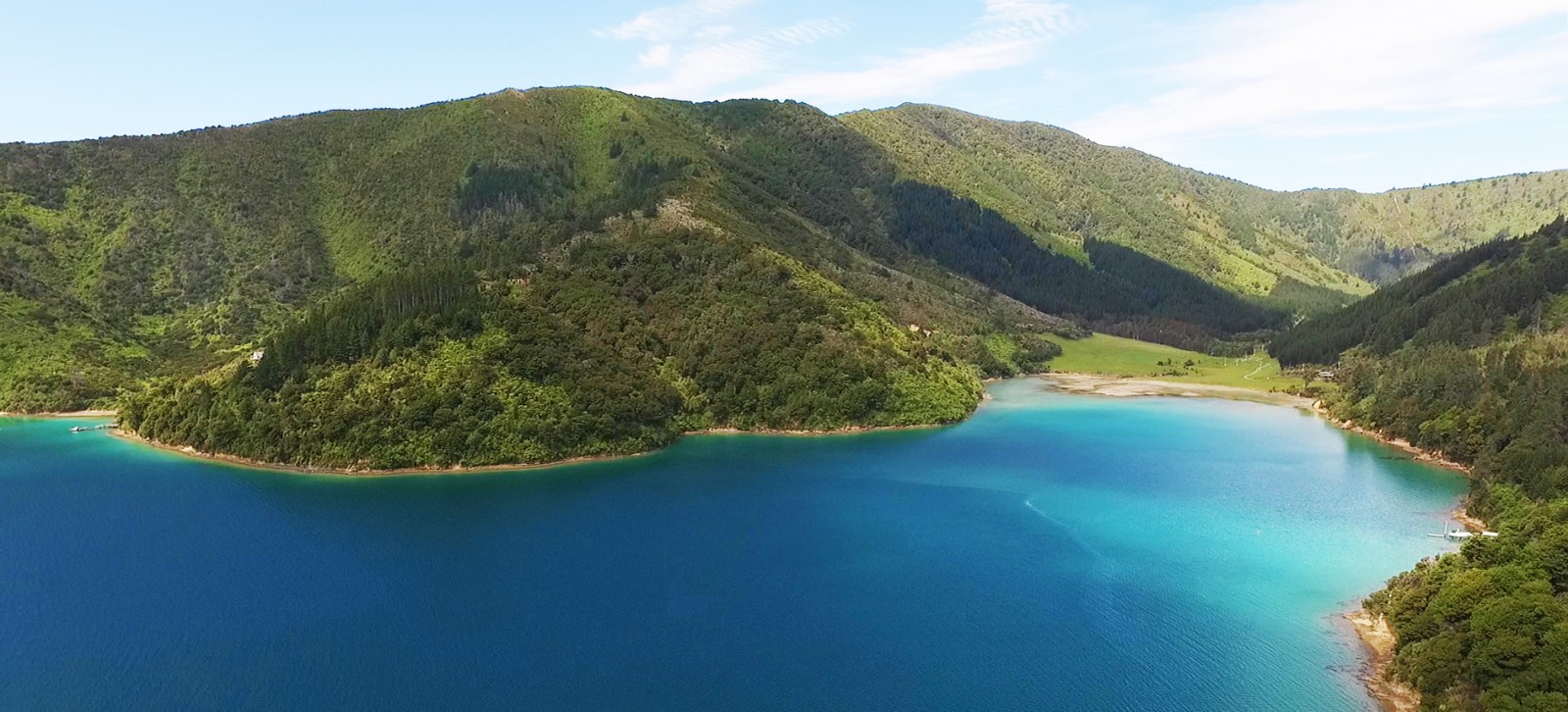
In 1957 a road connecting Whatamango Bay to Oyster Bay in Te Whanganui / Port Underwood was constructed by the Marlborough County Council. The road, constructed on top of an existing bridle path, provided car access to Te Whanganui / Port Underwood for the first time.4
In fact, this same path was used by Māori as a portage point to carry wāka from Te Whanganui / Port Underwood to Totaranui / Queen Charlotte Sound.5
Whatamango was also home to journalist and publisher Dame Christine Cole Catley, who lived in the bay from the 1970s until 2000.6
On Karaka Point, the headland between Whatamango Bay and Waikawa Bay, lies Te Rae o Karaka Historic Reserve. The reserve contains the remains of a historic pā which was built by early Ngāti Mamoe residents sometime around the Sixteenth Century. Over the centuries succeeding tribes took ownership of the pā, including Te Ātiawa o Te Waka-a-Māui who took the pā and surrounding area by right of conquest in 1830.
For a long period of the time the land on the headland was cleared and farmed but during the 1950s it was awarded reserve status. The area now hosts historical information panels, carvings and a fenced walkway.7
1. H. A. H. Insull, Marlborough Place Names, (Wellington: A. H. & A. W. Reed, 1952) 70.
2. Marlborough District Council, Nelson City Council and Tasman District Council, “Te Tau Ihu Statutory Acknowledgements 2014”, accessed April 2, 2019, http://www.nelson.govt.nz/assets/Environment/Downloads/TeTauIhu-StatutoryAcknowledgements.pdf .
3. Loreen Brehaut, “Curious Cove”, The Prow, accessed, October 29, 2019, http://www.theprow.org.nz/places/curious-cove/#.XbfsmegzbIV .
4. Nelson Historical Society, “Tua Marina and Port Underwood”, Nelson Historical Society Journal, Volume 3, Issue 1, (1974), accessed February 5, 2019, http://nzetc.victoria.ac.nz/tm/scholarly/tei-NHSJ03_01-t1-body1-d6.html .
5. Hilary Mitchell and John Mitchell, Te Tau Ihu O Te Waka: a History of Maori of Nelson and Marlborough: Volume 1: Te Tangata me Te Whenua- the People and the Land, (Wellington: Huia, 2004) 239.
6. Penny Wardle, “Eminent Journalist Dies”, Stuff, accessed October 29, 2019, http://www.stuff.co.nz/marlborough-express/news/5485218/Eminent-journalist-dies .
7. Loreen Brehaut, “Te Rae o Karaka or Karaka Point”, The Prow, accessed, July 23, 2019, http://www.theprow.org.nz/places/te-rae-o-karaka/#.XTAtbegzbIU .