The name Ngakuta means water plants and possibly refers to an edible seaweed found in the bay that was cooked and eaten with fish and meat.
There are three bays in the Sounds with this name. One in Port Underwood, the other in East Bay, Queen Charlotte Sound. [1]
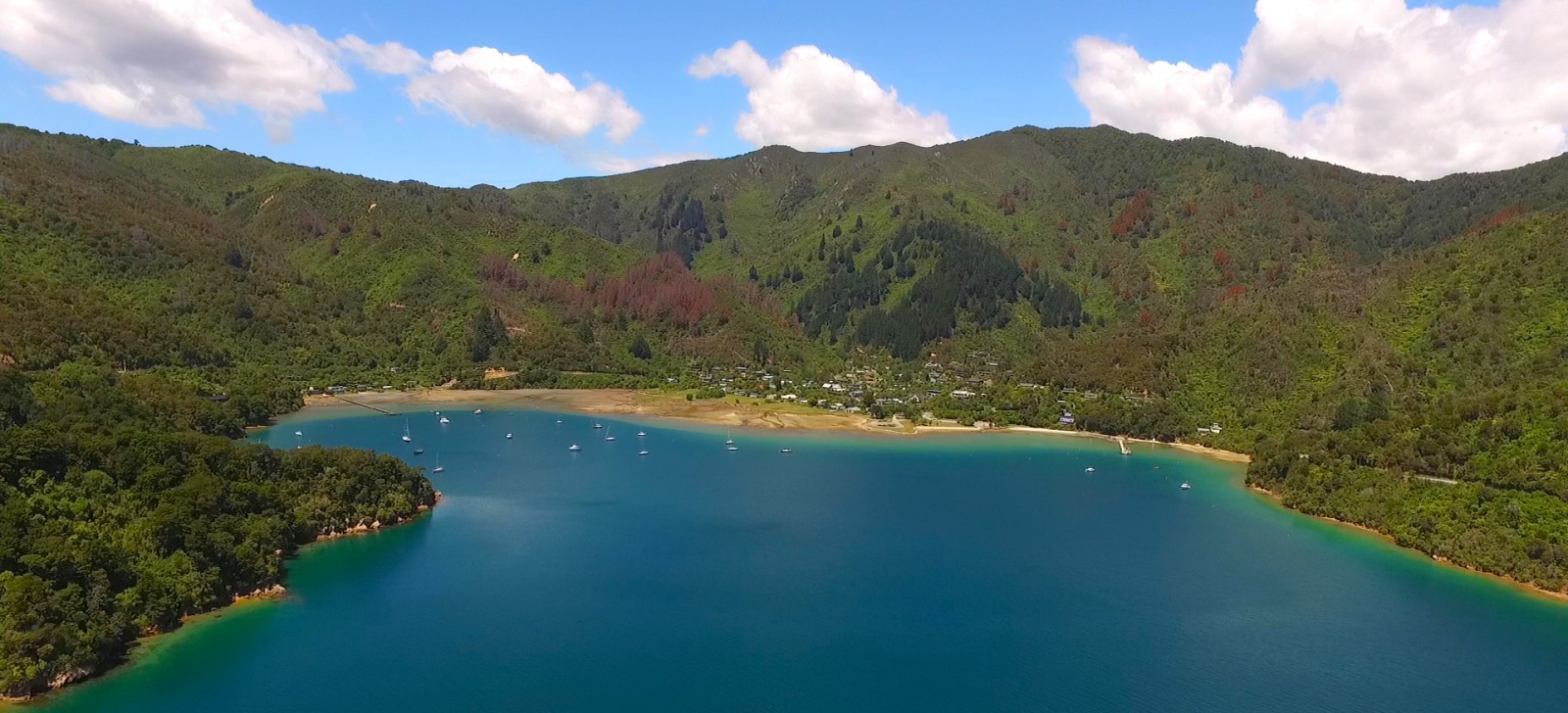
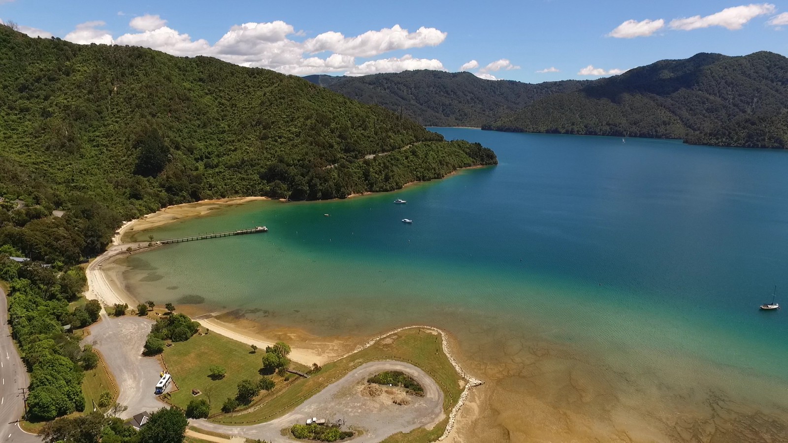
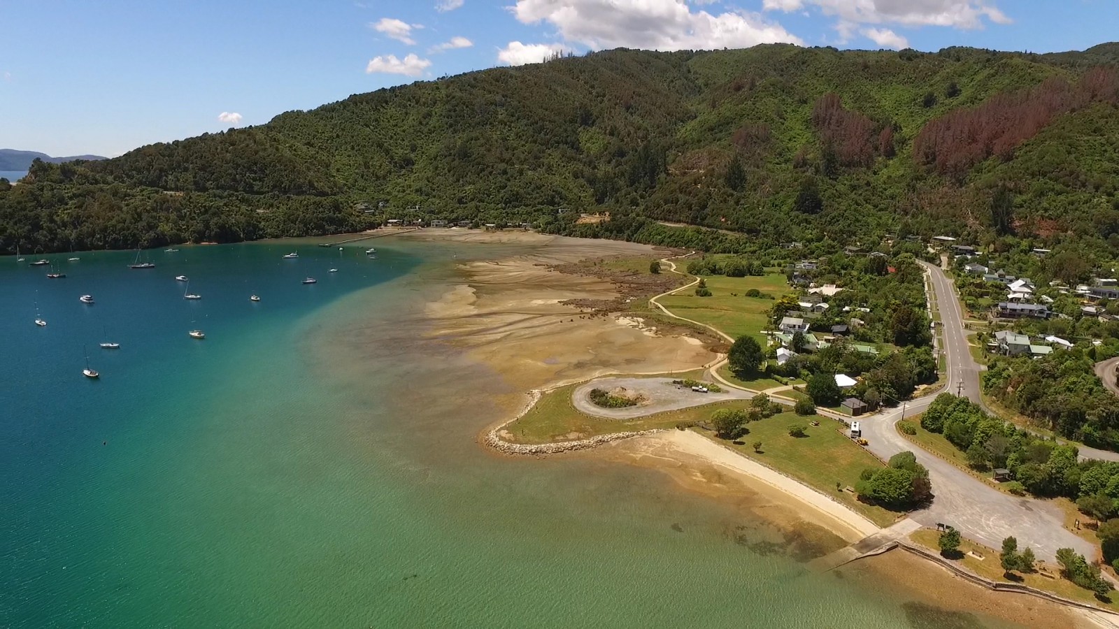
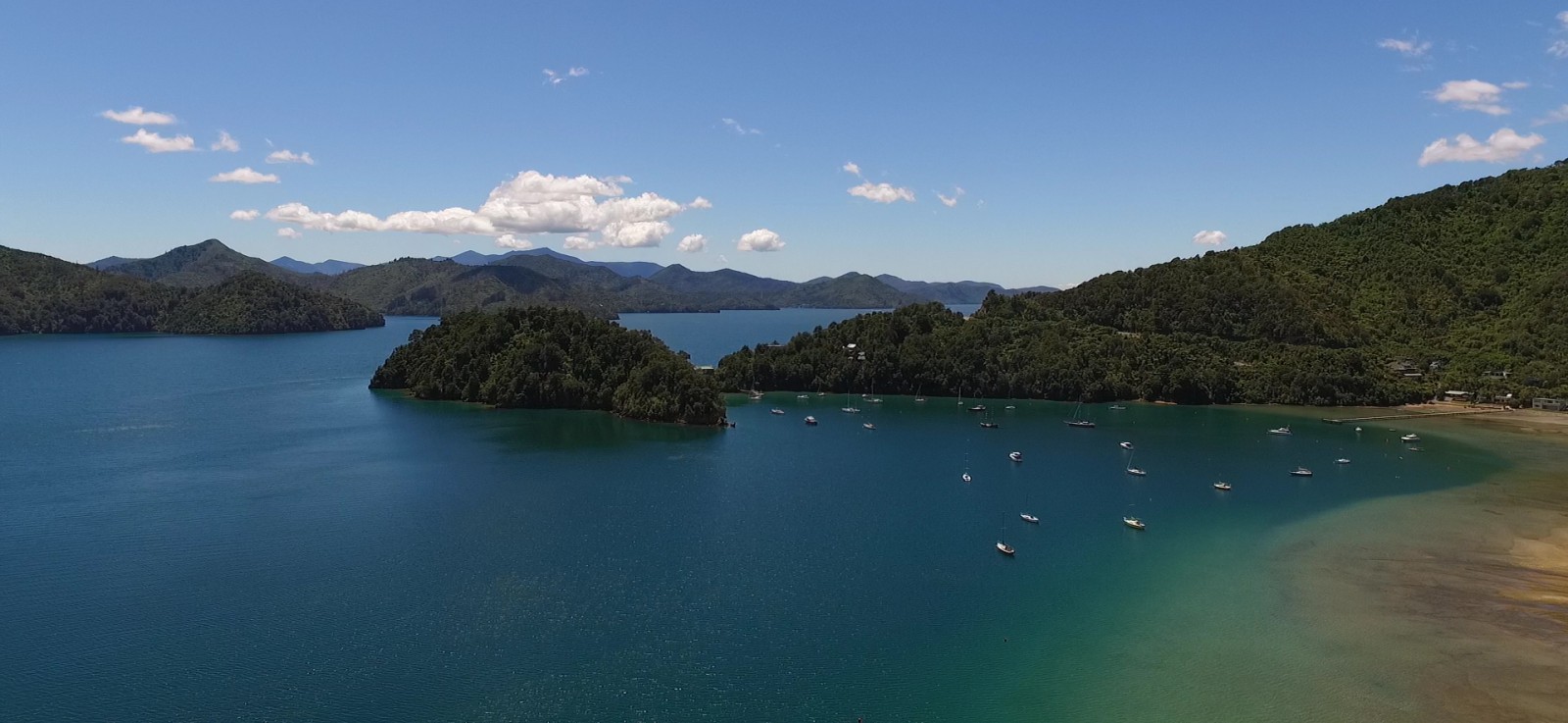
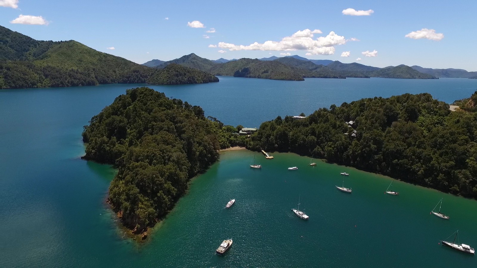
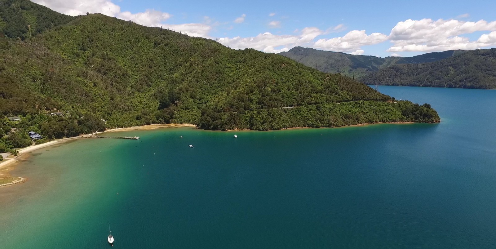
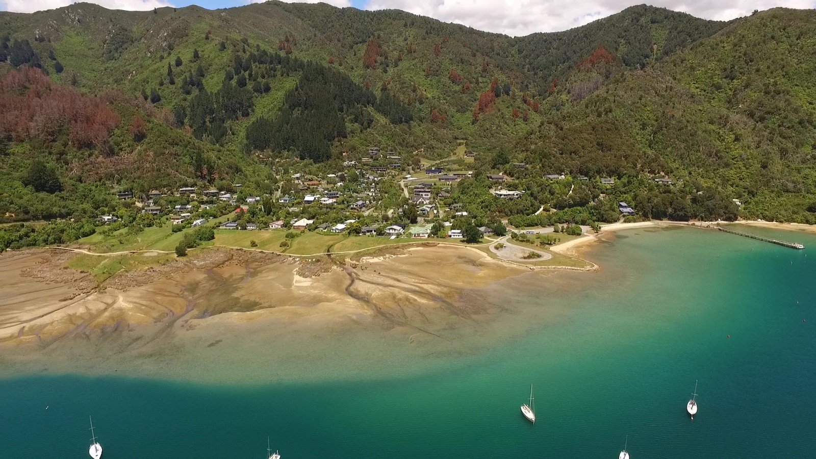
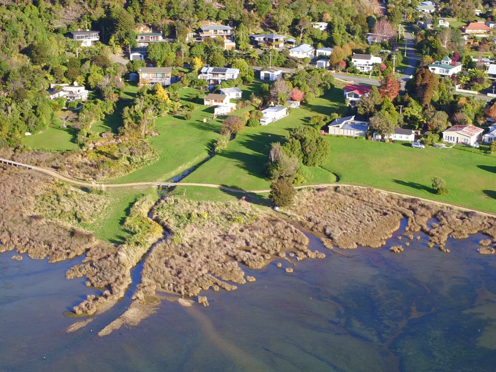
Ngakuta Bay has always been popular due to the protection and shelter afforded by the headland. The water is warm and shallow and the surrounding flat land has made the bay a popular location to dwell.
The headland was fortified by a pā which was still visible in 1843 when a surveyor John Wallis Barnicoat visited and sketched it. Soon after the pā fell into disrepair and no visible evidence of it remains.
Ngakuta Bay was purchased in 1850 by the New Zealand government as part of the Waitohi Settlement, in which the Crown gained ownership of Picton and the surrounding area. At this time, 1515 acres were set aside in the bay for Māori owners.
The first European settlers were James and Ann Avis from Wales. They arrived in the 1860s and leased Māori land for farming. From this time onwards, subsequent families lived in the bay, leasing land for farming and supporting services such as a regular mail boat delivery from Picton. [2]

Ngakuta Bay in the 1860s as land was being cleared. Avis farm buildings near the shore and the headland pā site in the background.
Courtesy, Picton Historical Society
In 1911 concern about the rate of native bush clearance resulted in the Māori owners and farming leaseholders jointly gifting the Ngakuta Point headland to the Crown as a permanent scenic reserve. [3]
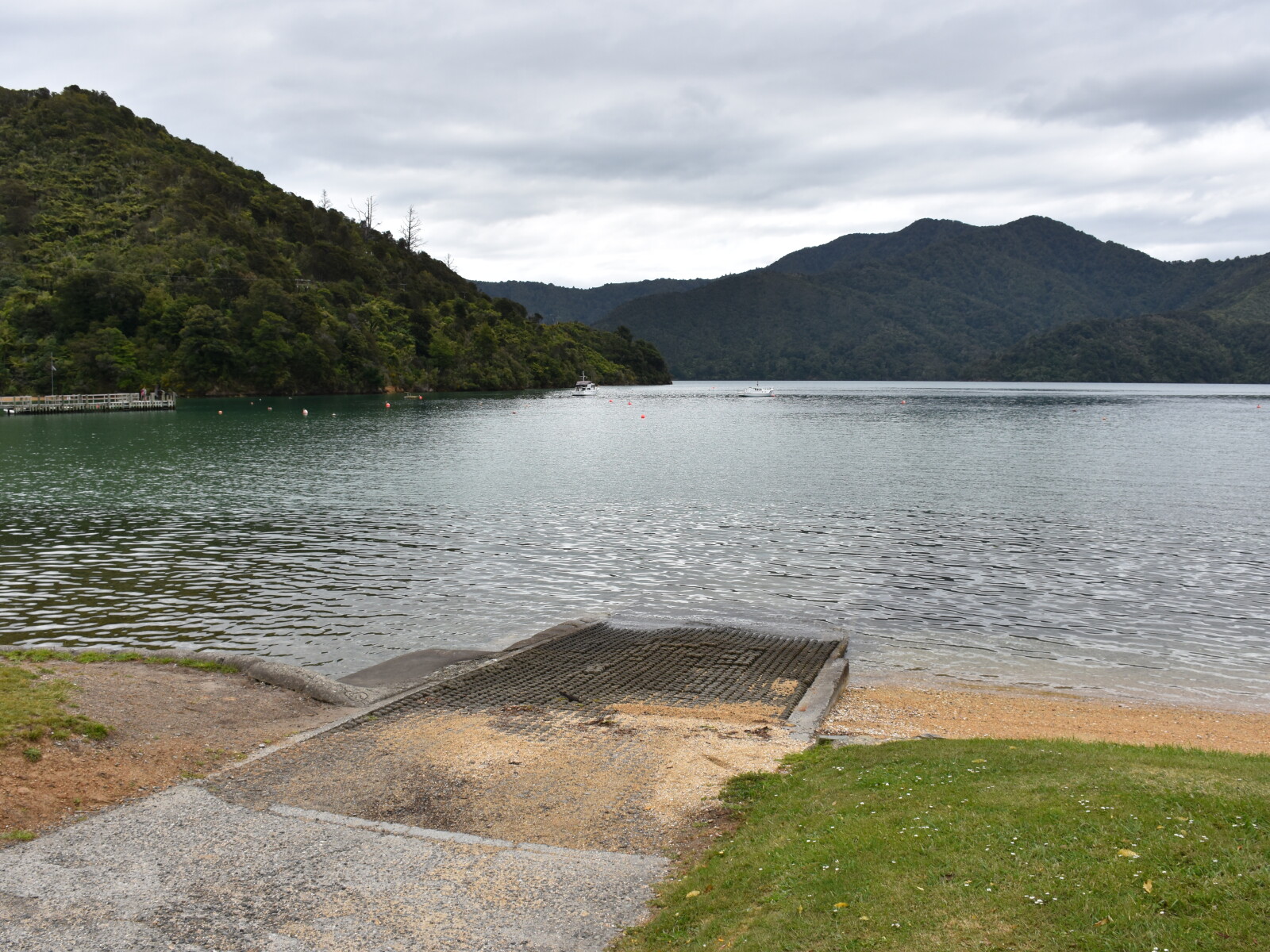
During the 1930s and 1940s, the bay was used for sailing regattas and a guesthouse was opened for travellers. In the 1980s the bay was formally subdivided for holiday homes and in 1987 the Department of Conservation (DOC) took over management for the foreshore and Crown Reserve land.
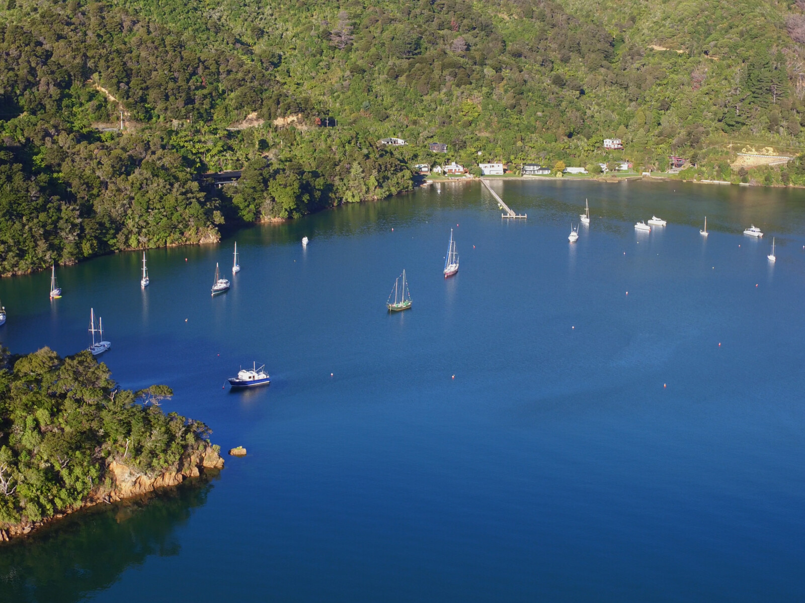
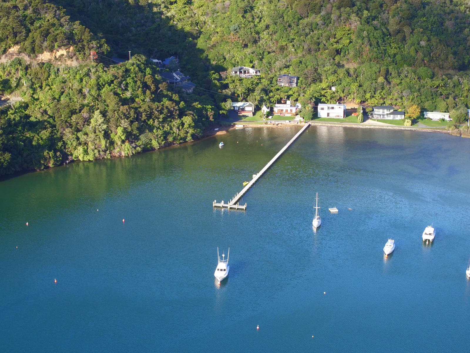
In 2011 the 55 year old jetty was rebuilt and extended with funding from the Marlborough District Council and is now maintained by the Ngakuta Boat Club. [4]
The bay is a very popular residential and holiday venue, with communities in main bay, Little Ngakuta and Eastern Cove.
Since December 2017, the bay has been accessible from Momorangi via the Link Pathway Te Ara Tuhono, a walking and cycle track that is being constructed to create a 42 kilometre path between Picton and Havelock. [5]
[1] H. A. H. Insull, Marlborough Place Names (Wellington, A. H. & A. W. Reed, 1952) 252-53.
[2] Loreen Brehaut, The Grove Arm of Queen Charlotte Sound (Picton, Picton Historical Society, 2012) 11-12.
[3] “Picton.”, Marlborough Express, Volume XLV, Issue 281, 2 December 1911, accessed March 5, 2018, https://paperspast.natlib.govt.nz/newspapers/MEX19111202.2.27
[4] Brehaut, Grove Arm, 13.
[5] “Our Story,” The Link Pathway Te Ara Tuhono, Facebook, accessed, September 22, 2020, https://www.facebook.com/The-Link-Pathway-365588383523911/