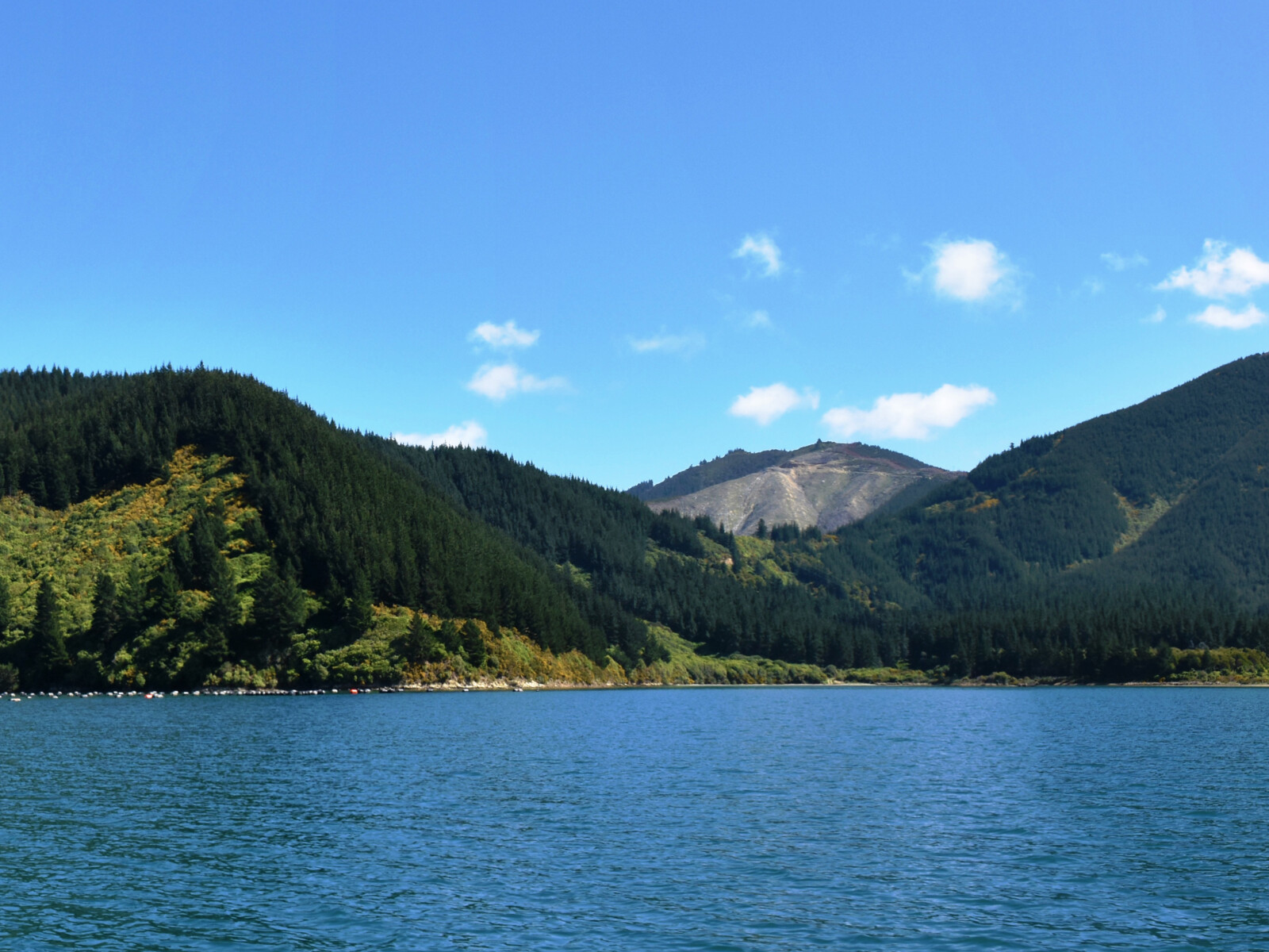
The name of this bay in Māori means shovelled harbour. Whanga means bay and koko means to take up a shovel.1
Traditionally the bay has been used for collecting green lipped mussels, or kuku. It is possible the bay may have been named for this and the word has altered over time.
The bay, like many in the wider Te Whanganui / Port Underwood area has a long history of occupation by Māori. The iwi (tribe), Rangitāne o Wairau had settlements in the harbour until 1829, when by right of conquest, Ngati Toa Rangatira became dominant.2 Māori used the area for collecting kaimoana (seafood) and for trade with whalers and settlers.3
During the Nineteenth Century the bay was part of a large farm run by Tim Daken. Prior to this, the Stavely family had lived in the bay in a large two storey house. The Stavelys ran a dairy and fish smoking facility. There are some large English trees and daffodil bulbs that remain from the garden and a family cemetery.
There was a school on the flat in the bay.
Piles of stones, some from Wairau Boulder Bank, can be seen in bay at low tide. These are the remains of ballast discarded by small sailing ships returning empty to the bay most likely trading in firewood.4
1. “Te Wiki o Te Reo Māori - Māori Language Week - 1000 Māori place names”, New Zealand History, accessed May 22, 2019, https://nzhistory.govt.nz/culture/maori-language-week/1000-maori-place-names#w .
2. Loreen Brehaut, the Bays of Port Underwood, (Picton: Picton Historical Society, 2012) 5, 11.
3. Marlborough District Council, Nelson City Council and Tasman District Council, “Te Tau Ihu Statutory Acknowledgements 2014”, accessed July 18, 2018, http://www.nelson.govt.nz/assets/Environment/Downloads/TeTauIhu-StatutoryAcknowledgements.pdf .
4. James R. Eyles, Place Names of Port Underwood - a post European History, (Picton: October Enterprises, 2002) 36-37.