Ragged Point is a jagged rocky point of land at the entrance to Greville Harbour. The area surrounding the point contains several caves. Local legend recalls, how for many years, one of these caves contained the anchor of the schooner Fancy, which was wrecked nearby in 1868.1
There is a small bay to the south of the point which was probably the site of an ancient pakohe (argillite) flaking floor. A large number of stone flakes have been found in the area indicating that the bay was where rough stone was shaped into tools and weapons.2
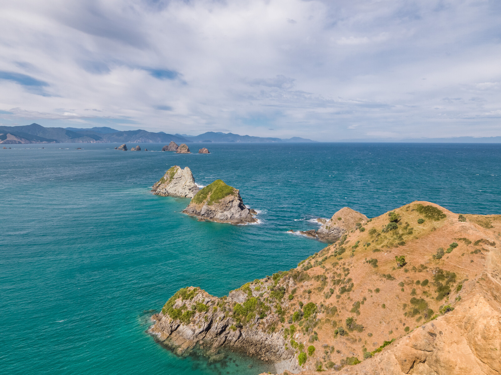
New Chum’s Rock was given its name due to the fact newly arrived people would often drive their ships onto this rock.
Officially known as Sandy Bay, this bay is also known as Owhata Bay after the name of the local settlement. Owhata means a platform or storehouse for food. This bay and settlement was probably where fishing parties would return to preserve their catch and rest after a day of fishing.
Rahuinui Island means the place of the large gathering. This is a location where large fishing parties from around the island used to meet.
The island was also known as Big Ball by European settlers.3
Rahuinui Island is a breeding ground for the New Zealand King Shag. This bird is endemic to New Zealand, only occurring in the Marlborough Sounds.
It is a large black-and-white shag with big pink feet.4
Since 2014 the King Shag has suffered a significant population decline. In early 2018, the population size was estimated to number fewer than 2500 mature individuals. The species is currently considered to be vulnerable to extinction but may be reclassified as endangered.5
Taungahaika Island is a large platform-like island. The island was used by Māori as a lookout during times of warfare.6
Okarewa Point was also traditionally used as a meeting point for waka prior to going fishing or heading out into Tasman Bay. There are large pits on the surrounding hills where it is thought communication with the waka was maintained via signals.7
1. Olive Baldwin, Story of New Zealand’s French Pass and d’Urville Island (Plimmerton: Fields Publishing House, 1979) 137.
2. I. W. Keys, “The Cultural Succession and Ethnographic Features of D'Urville Island”, The Journal of the Polynesian Society, 69 (1960), accessed April 24, 2018, http://www.jps.auckland.ac.nz/document/?wid=3081 .
3. Baldwin, French Pass and d’Urville Island, 137.
4. “New Zealand King Shag”, New Zealand Birds Online, the digital Encyclopaedia of New Zealand birds, accessed June 25, 2018, http://nzbirdsonline.org.nz/species/new-zealand-king-shag .
5. Schuckard, Rob, “Report on King Shag Census February 2018 and Population Trend”, (The New Zealand King Salmon Co. Limited, 2018), accessed June 25, 2018, https://www.kingsalmon.co.nz/kingsalmon/wp-content/uploads/2018/05/King-Shag-census-2018-Final.pdf .
2018 report no longer accessible.
2019 version of the report is accessible at https://www.kingsalmon.co.nz/king-shag-population-increases-in-marlborough/
6. Baldwin, French Pass and d’Urville Island, 137.
7. “Notice of Assets and Services Committee Meeting - Tuesday 11 June 2013”, (Marlborough District Council, 2013), accessed, June 25, 2018, https://www.marlborough.govt.nz/repository/libraries/id:1w1mps0ir17q9sgxanf9/hierarchy/Documents/Your%20Council/Meetings/2013/Assets%20and%20Services%202013%20List/Assets_And_Services_11_June_2013_Agenda.pdf .
