The name Ngakuta, means water plants and possibly refers to an edible seaweed found in the bay.
There are three bays in the Marlborough Sounds with this name. The other two are in Grove Arm and East Bay, Totaranui/ Queen Charlotte Sound.1
The wider Te Whanganui/ Port Underwood area has a long history of occupation by Māori. The iwi (tribe), Rangitāne o Wairau had settlements in the harbour until 1829, when by right of conquest, Ngati Toa Rangatira became dominant.2
Māori used the area for collecting kaimoana (seafood) and for trade with whalers and settlers.3
Evidence of early occupation in the bay was found during an archaeological survey undertaken in the 1970s. Shell middens and burnt stones were found around the edges of a stream and several food storage pits were located along the ridge on the hill above the bay.4
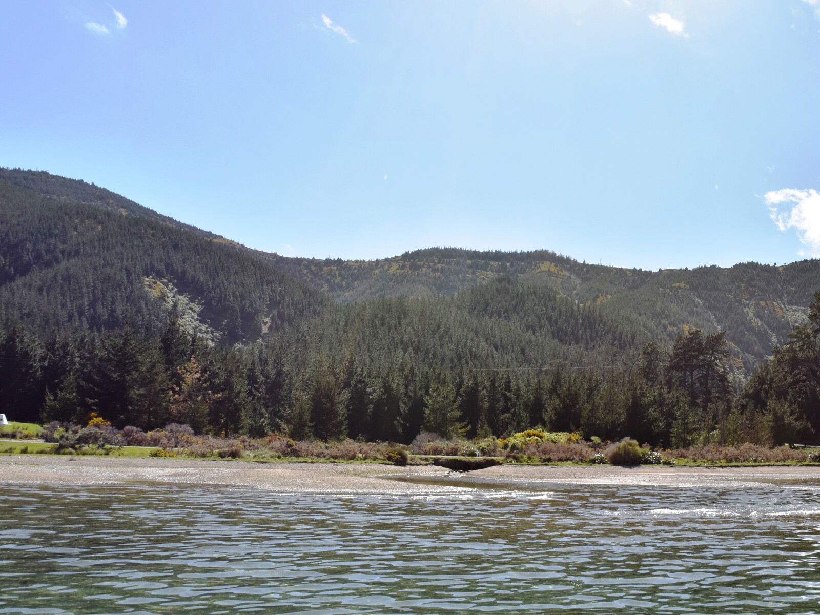
Ngakuta Bay’s location at the head of Te Whanganui / Port Underwood made it a strategic location for both Māori and Pākehā (non-Māori) alike.
The low saddle at the top of the ridge behind Ngakuta Bay provides walking access between Te Whanganui/ Port Underwood to Totaranui/ Queen Charlotte Sound. This route, up and over the hill behind Ngakuta Bay and down into Opua Bay, Totaranui/ Queen Charlotte Sound, solves one of the biggest logistical challenges faced by those living in the Marlborough Sounds, how to access one sound from another while avoiding a sea voyage.
Ngāti Toa warriors used this route to escape pursuit by Ngāi Tahu in 1833 and it was the central location of Ngakuta Bay that attracted the Methodist missionaries, Samuel and Sarah Ironside to the bay in late 1840.5
The Ironsides established a significant Methodist mission settlement in the bay which they named, Pisgah Vale. Samuel Ironside travelled throughout the sounds, often walking over the hill, along the ridge that is now known as Ironside Ridge to reach congregations in Totaranui/ Queen Charlotte Sound, the Tory Channel and Pelorus Sound. Sarah Ironside taught reading, writing and bible studies to local women.6
By 1842 a church, the Ebenezer Chapel, had been built in the bay. The exterior of the building was clad in mānuka bark and the roof thatched with raupō reeds. The building was approximately 21 metres in length and capable of holding 700 people. The church was built over a five month period and was followed by an additional 11 chapels throughout the sounds.7
While the couple were respected by both Māori and Pākehā alike, the success of the mission was short lived.
In 1843 a brief but bloody battle between Māori and Pākehā, near the Wairau River at Tuamarina, resulted in the death of 28 people and created significant upheaval in the region. This was the first armed clash between Māori and the settler population after the signing of Te Tiriti o Waitangi/ the Treaty of Waitangi and was the first incident in what were to become known as the New Zealand Wars.8
Samuel Ironside was involved in the aftermath of the tragedy. He helped to bury the dead and attempted to re-establish calm.
Fearing reprisals, large numbers of Māori, mostly from Ngāti Toa and coincidentally those that made up the congregation of the Ngakuta Bay mission, fled to the North Island. The mission never fully recovered from this abrupt mass exodus of its members.9
The Ironsides departed for Wellington and were replaced by William and Jane Jenkins. The Jenkins lived at the bay for six years and continued to preach throughout the wider Marlborough Sounds area but their congregation remained small. Following a significant earthquake in 1848 the couple relocated to Motueka and the mission was permanently abandoned.10
By the late Nineteenth Century the bay was farmed as part of the large station, Starmount Run by Jerome Nugent Flood. The Flood family built their homestead on the site of Ebenezer Church.
Jerome Flood died in 1887 and is buried in the bay. The family continued to farm in the area until the First World War.11
In 1950 landowners in the bay donated land to the church to erect a memorial to Samuel and Sarah Ironside and the mission station. In 1960, on the site of the mission house and Ebenezer Church a memorial cairn was unveiled in front of 300 people.12
1. H. A. H. Insull, Marlborough Place Names, (Wellington, A. H. & A. W. Reed, 1952) 252-53.
2. Loreen Brehaut, the Bays of Port Underwood, (Picton: Picton Historical Society, 2012) 5.
3. Marlborough District Council, Nelson City Council and Tasman District Council, “Te Tau Ihu Statutory Acknowledgements 2014”, accessed July 18, 2018, http://www.nelson.govt.nz/assets/Environment/Downloads/TeTauIhu-StatutoryAcknowledgements.pdf .
4. Michael M Trotter, Port Underwood Archaeological Survey, (Christchurch: Canterbury Museum, 1976) 14.
5. Brehaut, ‘Bays of Port Underwood’, 11.
6. Wesley A. Chambers, Samuel Ironside in New Zealand, 1839-1858, (Auckland: Ray Richards, 1982), accessed, July 31, 2018, http://www.methodist.org.nz/files/docs/wesley%20historical/samuel%20ironside%20in%20nz.pdf .
7. Nelson Historical Society, “Tua Marina and Port Underwood”, Nelson Historical Society Journal, Volume 3, Issue 1, (1974), accessed February 5, 2019, http://nzetc.victoria.ac.nz/tm/scholarly/tei-NHSJ03_01-t1-body1-d6.html .
8. Hilary and John Mitchel, “Wairau Affray”, accessed June 11, 2019, http://www.theprow.org.nz/maori/wairau-affray/#.XP9kFVwzbIU .
9. Zinnia Nichol Foster, “Samuel Ironside the man and his mission”, The Prow, accessed, June 4, 2019, http://www.theprow.org.nz/yourstory/samuel-ironside/#.XPWyzYgzbIV .
10. Dawn Chambers, “William Jenkins & Family at Ngakuta Bay, Port Underwood, Marlborough 1843-1848”, accessed February 12, 2019, http://www.nzpictures.co.nz/ngakuta1843to1848.pdf .
11. Brehaut, ‘Bays of Port Underwood’, 11.
12. Chambers, “William Jenkins & Family at Ngakuta Bay”.