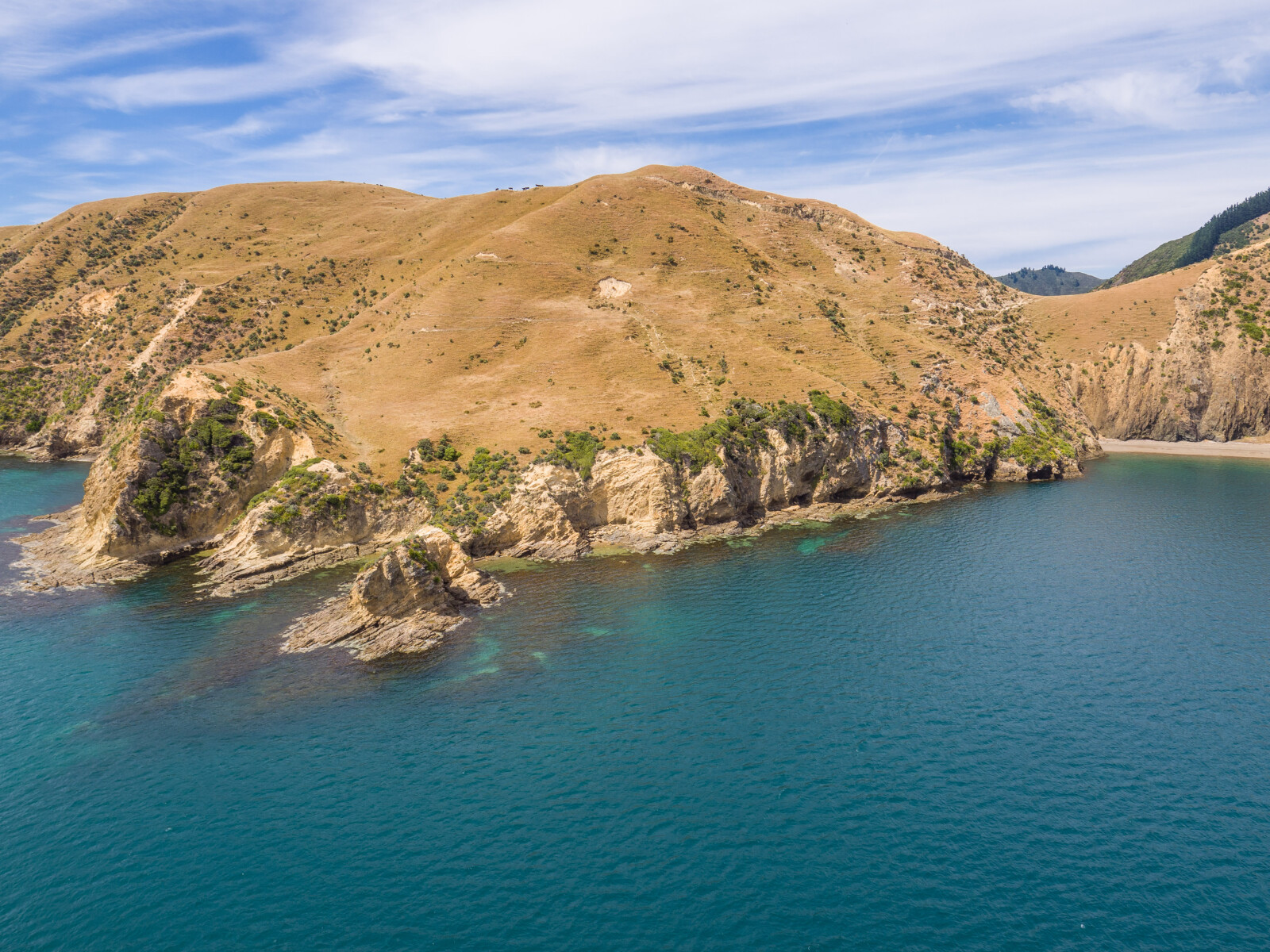
The cape, Kidnap Point, is possibly the locality where the whaling ship, Mary and Elizabeth was attacked in 1834 by chief Te Mako Tarapiko of Ngāti Koata while seeking utu or retribution.1 The attack resulted in the vessel being plundered and two Ngāti Koata men being killed.2
Te Marua or as it is often referred to, Old Pa is situated slightly inland, overlooking Te Horea Bay, south along the coast from Kidnap Point.
Te Marua means pit or valley. Old Pa reflects the fact the settlement was one of the first places Ngāti Koata settled on the island following the tuku (gift) of the island from Tutepourangi, the chief of Ngāti Kuia to Ngāti Koata after the Battle of Waiorua on Kapiti Island in 1824.
The settlement has seen many important events including the tangi (funeral) of the chief Mauriri who was killed during the raid upon the Mary and Elizabeth, and the signing of the Treaty of Waitangi on behalf of Ngāti Koata by the chief Turi Te Patete on 11 May 1840.3
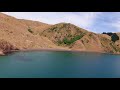
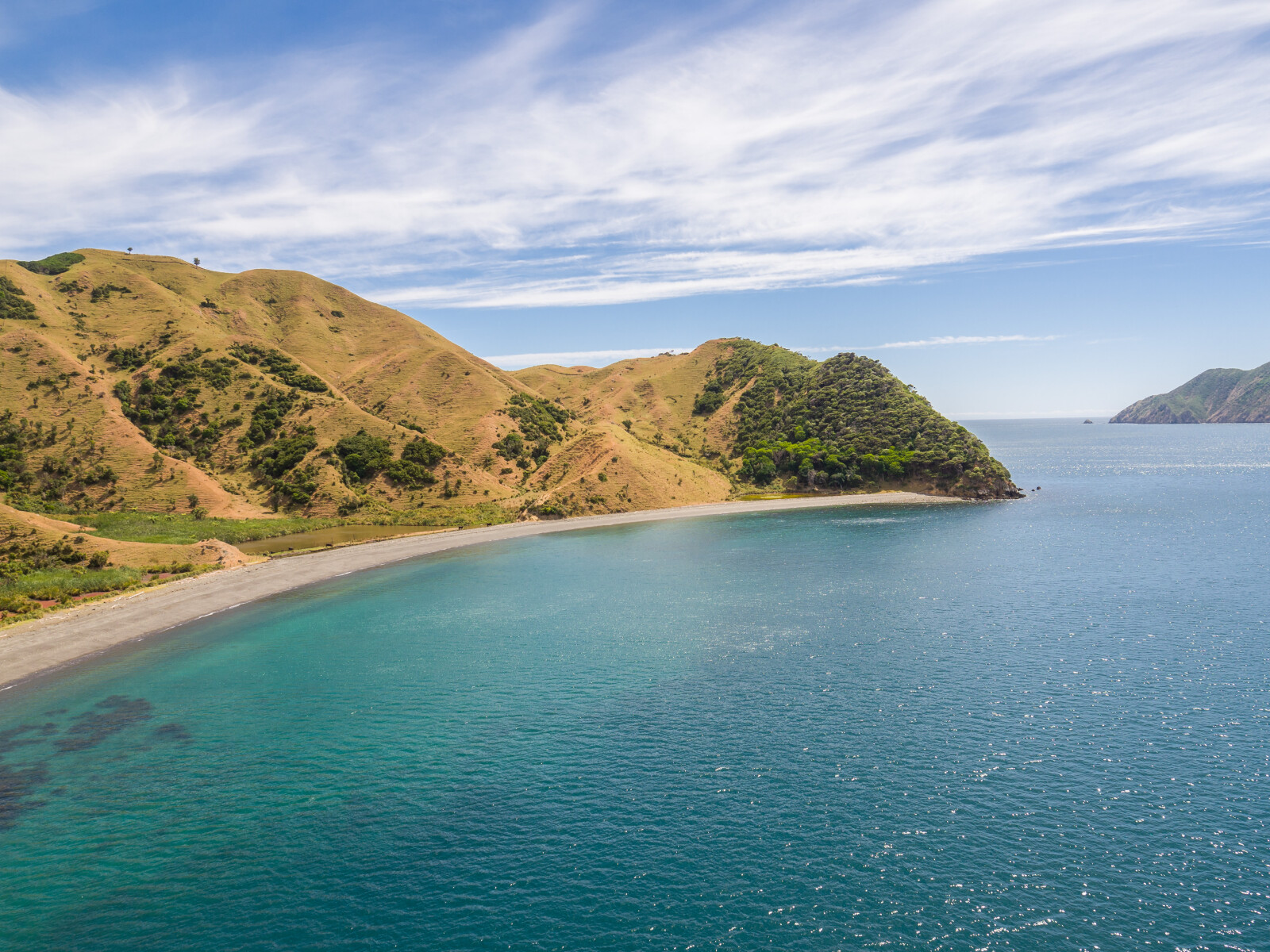
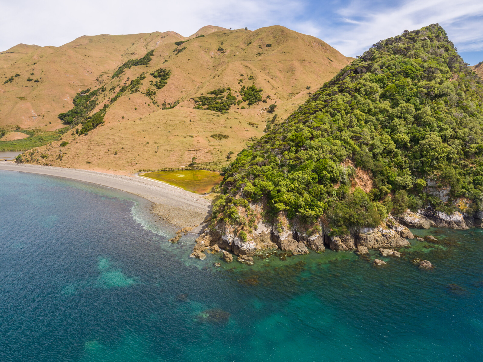
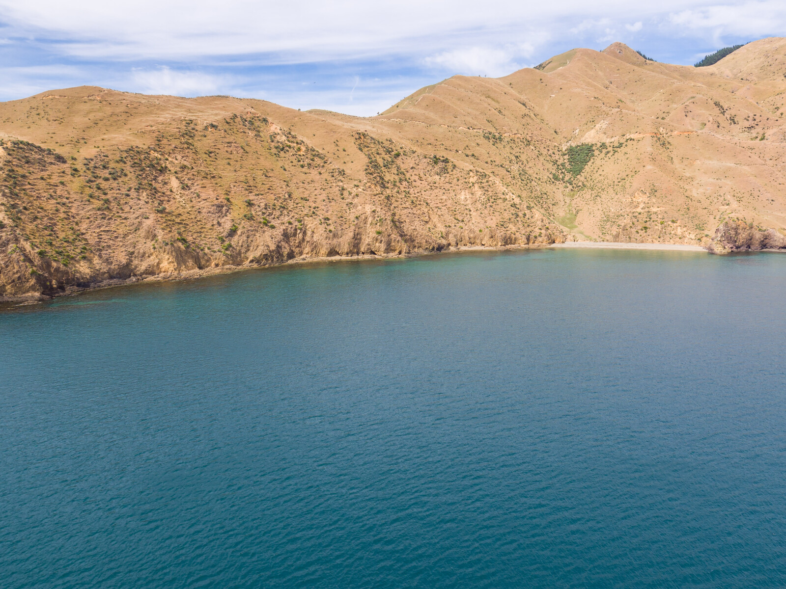
Te Horea Bay, the beach frontage to Te Marua, means bare, stripped or deficient. The bay is known for its lack of shellfish.
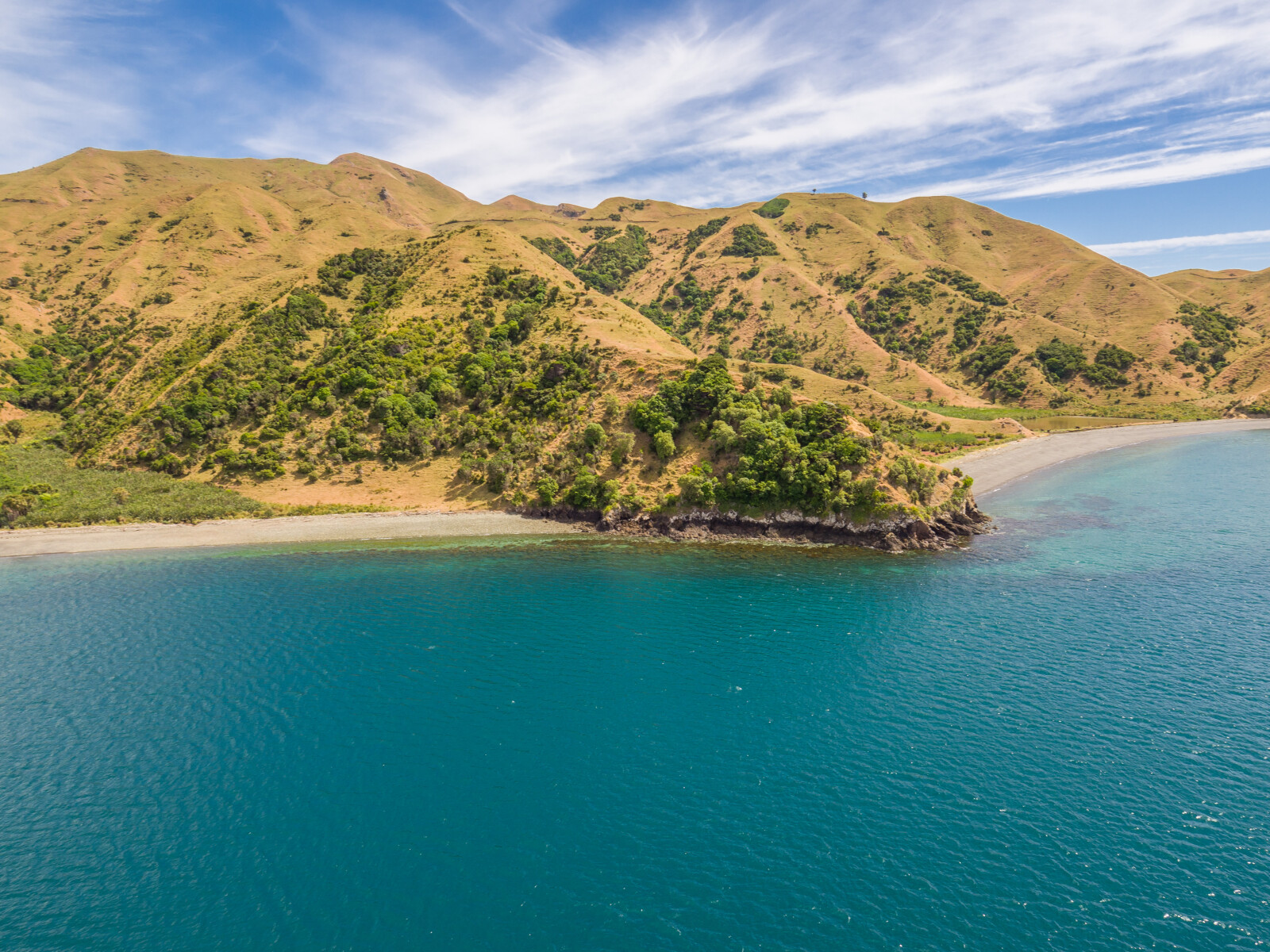
Waitai Bay, south of Te Horea Bay, is named for the Māori word for sea water. The bay has been given this name in reference to the salt spray that whips through the area during a southerly gale.
The bay was previously known as Mukahanga a name given to it after the flax fibre that was prepared in the area. Muka is the name for the fibre created by scraping flax leaves. Large amounts of flax used to grow in this area.4
Waitai Bay became the home of the Moleta brothers, Antonio and Salvatore, who emigrated to Rangitoto ki te Tonga / D’Urville Island in the 1890s from Stromboli, Italy. Life for the brothers was difficult. They made their living by fishing and clearing the land for pasture. The brothers would hire teams of men to clear the land by hand and would then set fire to the stubble. The smoke from these fires was so thick that accounts exist of it being seen from ships crossing the Tasman Sea.
The Moleta family continues to farm in the area.5
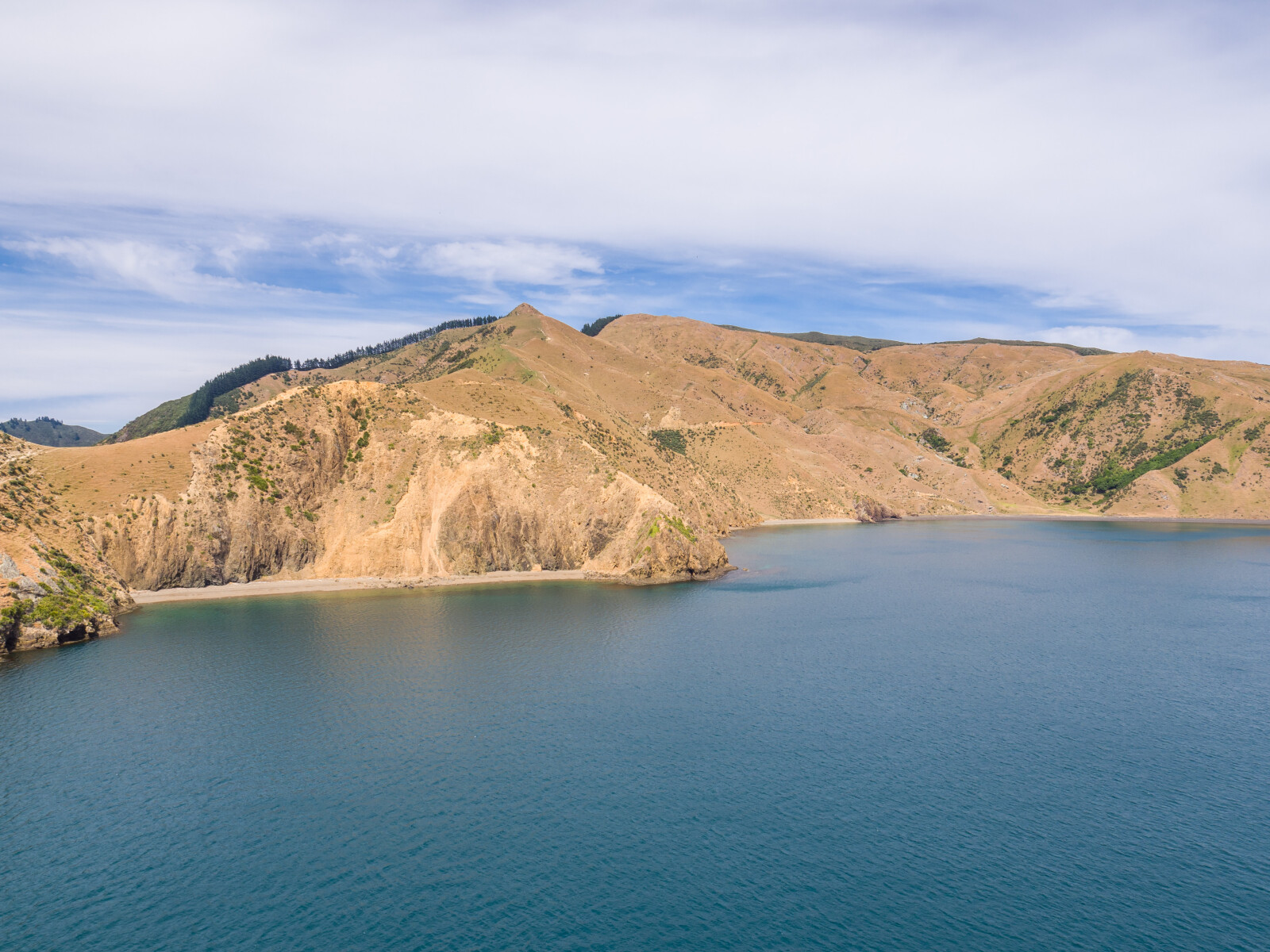
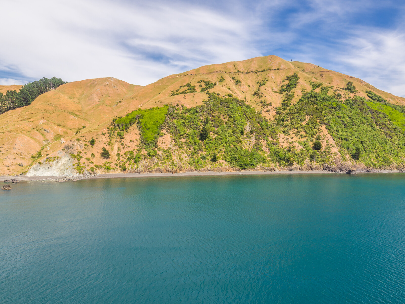
South of Waitai Bay is Te Akau or Black Beach. This area is named for the dark rocks along the coastline.
Old Man’s Head is the name given to the northern side of the peninsula situated south of Te Akau. At the south-east tip of the Head is Moleta Point, the location of the Moleta brothers first landing in 1897.6
1. I. W. Keys, “The Cultural Succession and Ethnographic Features of D'Urville Island”, The Journal of the Polynesian Society, 69 (1960), accessed April 24, 2018, http://www.jps.auckland.ac.nz/document/?wid=3081
2. Hilary Mitchell and John Mitchell, Te Tau Ihu O Te Waka: a History of Maori of Nelson and Marlborough: Volume 1: Te Tangata me Te Whenua- the People and the Land (Wellington: Huia, 2004) 245-246.
3. Anthony Pātete, “D’Urville Island (Rangitoto Ki Te Tonga) in the Northern South Island: a Report Commissioned for the Waitangi Tribunal for the Claims in the Northern South Island (Wai 102)”, (1997), Ngati Koata, 7-9, accessed June 5, 2018, http://ngatikoata.com/wp-content/uploads/2017/03/Patete-Report-on-Rangitoto-searchable-by-word.pdf .
4. Olive Baldwin, Story of New Zealand’s French Pass and d’Urville Island (Plimmerton: Fields Publishing House, 1979) 37, 126-128.
5. Andrew Macalister and Gerard Hindmarsh, “D’Urville’s Forgotten Island”, New Zealand Geographic, accessed March 28, 2018, https://www.nzgeo.com/stories/durvilles-forgotten-island/
6. Baldwin, French Pass and d’Urville Island, 128.