The Māori name for the pass is Te Aumiti. The name was awarded to commemorate the shag, Te Kawau.
Tribal traditions record that the pass was named by the Polynesian navigator and explorer, Kupe, who is reputed to have visited New Zealand while travelling in the Matawhaorua canoe sometime in the thirteenth century.
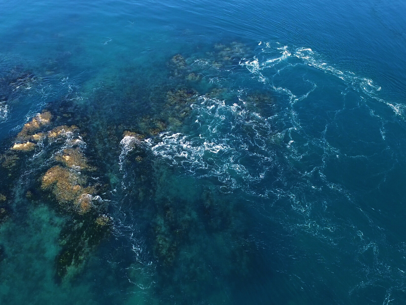
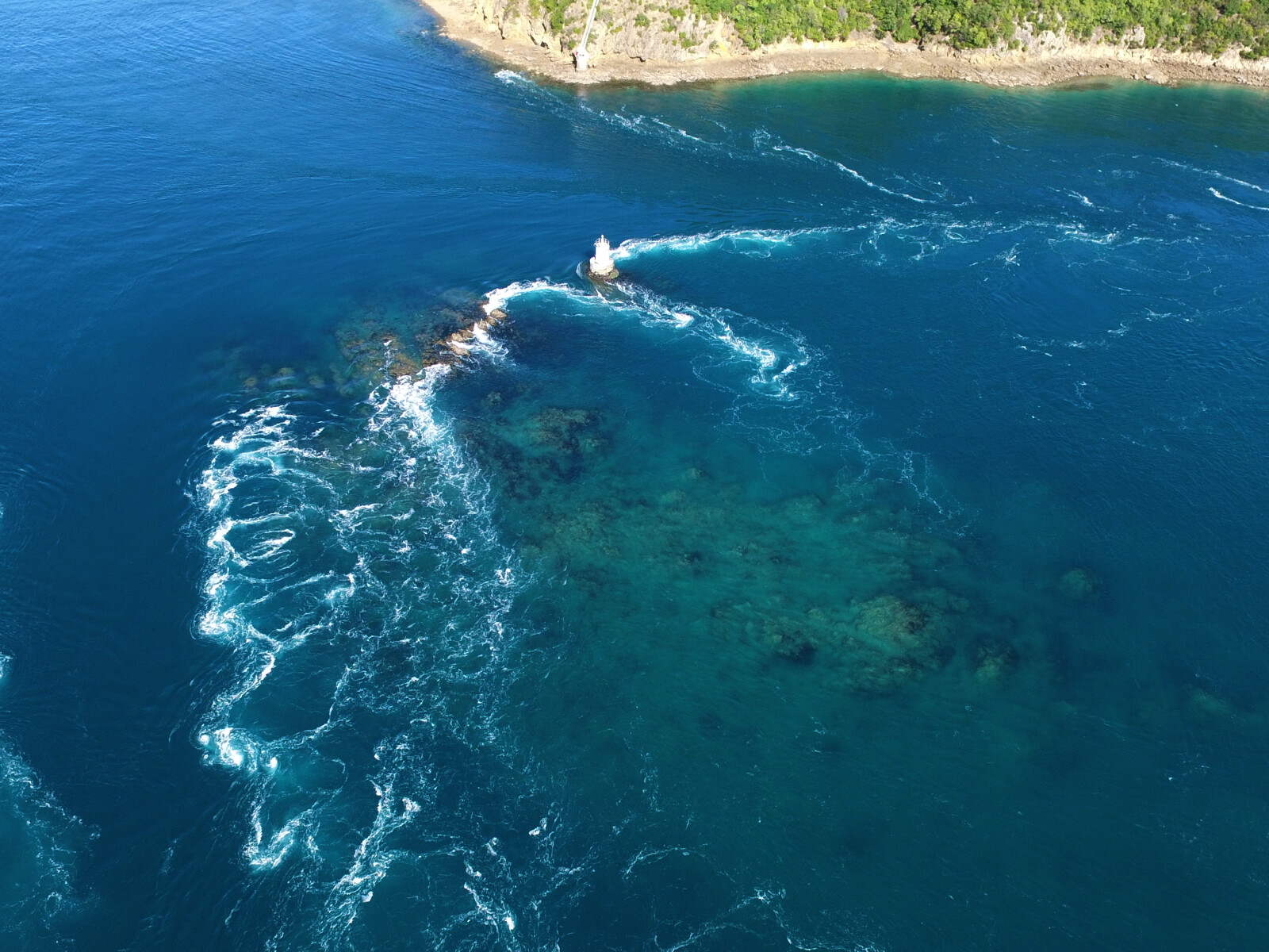
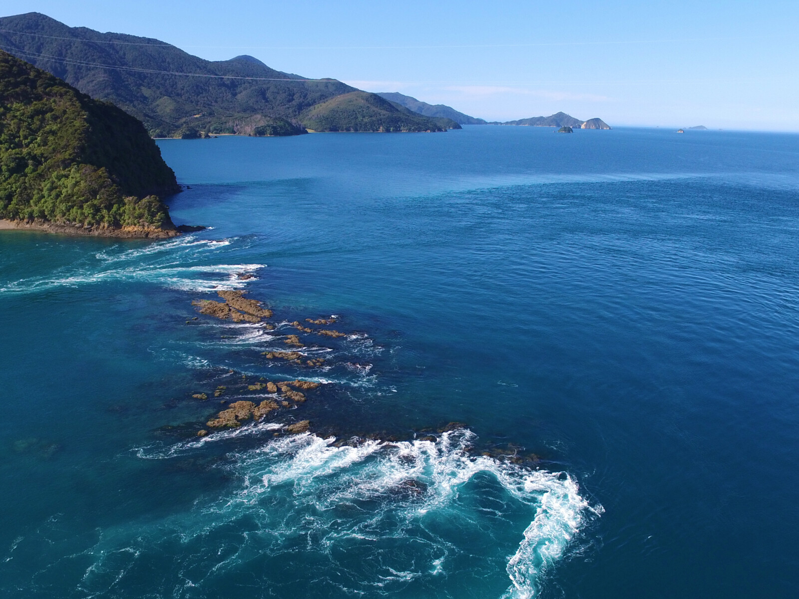
Kupe named the reef that spans most of the pass and the strait itself after a shag, Te Kawau that he had sent out to test the tides and currents. The shag dove into the water of the pass and drowned. In remembrance, Kupe named the reef, Te Kawau-a-Toru or Toru’s Shag, Te Kawau. Toru was one of Kupe’s men and the master of the shag.
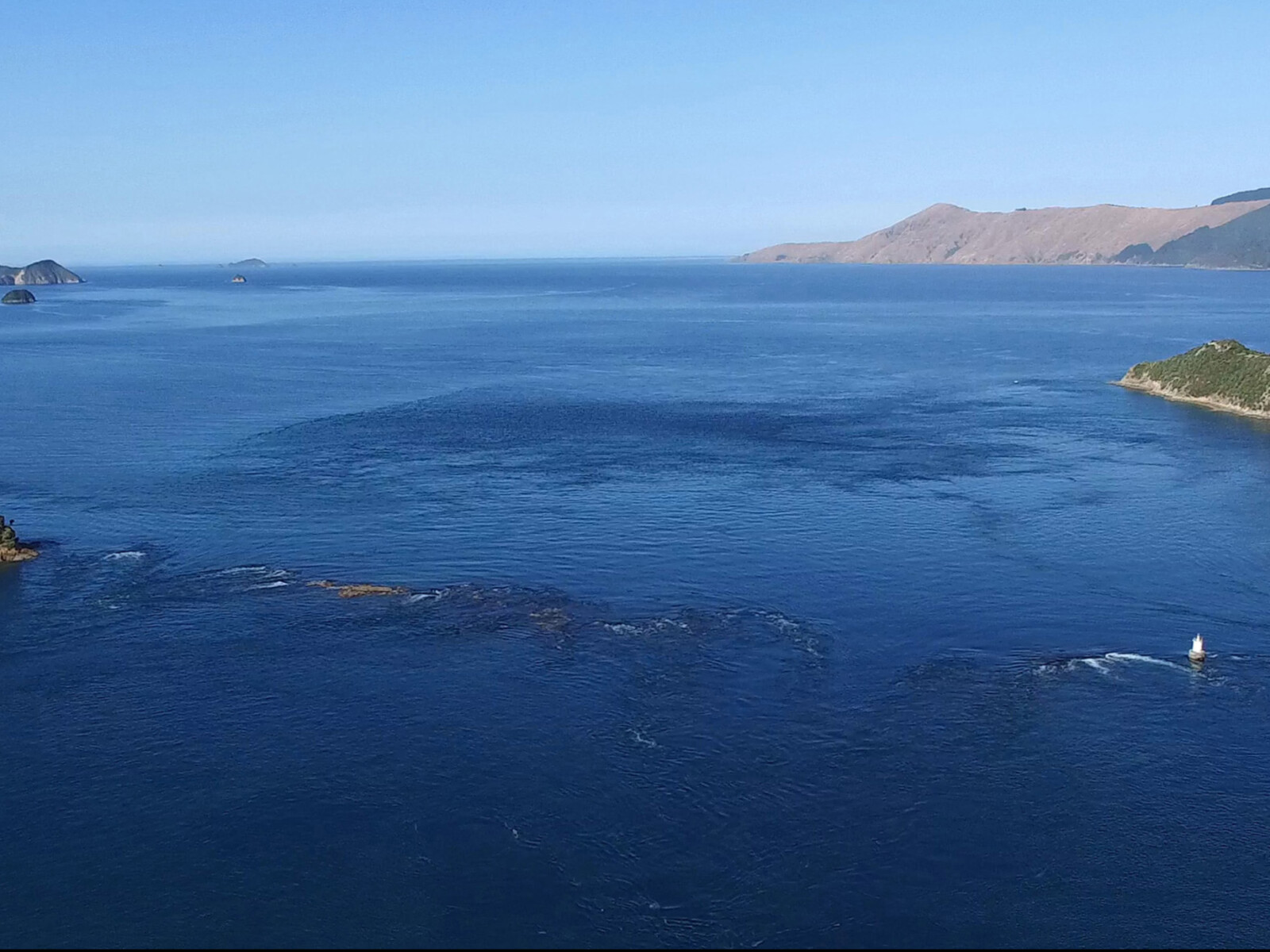
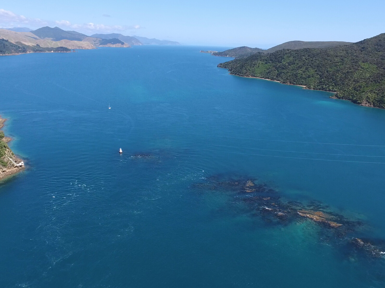
Kupe named the navigable water between the reef and Rangitoto ki te Tonga / D’Urville Island, Te-o-miro-Kawau-a-Toru or the licking, swishing, swallowing currents that drowned Toru’s shag, Te Kawau. Over time, miro became miti and a shortened version of Te Aumiti was used.1
The European name for the pass was bestowed by the French Admiral Jules Sebastien Cesar Dumont d’Urville after navigating the pass in the corvette, Astrolabe in January 1827. The journey from Current Basin to Admiralty Bay took five days and very nearly ended in disaster. While navigating the pass the ship hit the reef twice and was pulled into a whirlpool. Eventfully the Astrolabe was washed over the reef into Admiralty Bay where the naturalists and surveyors on board set out to investigate the area.2
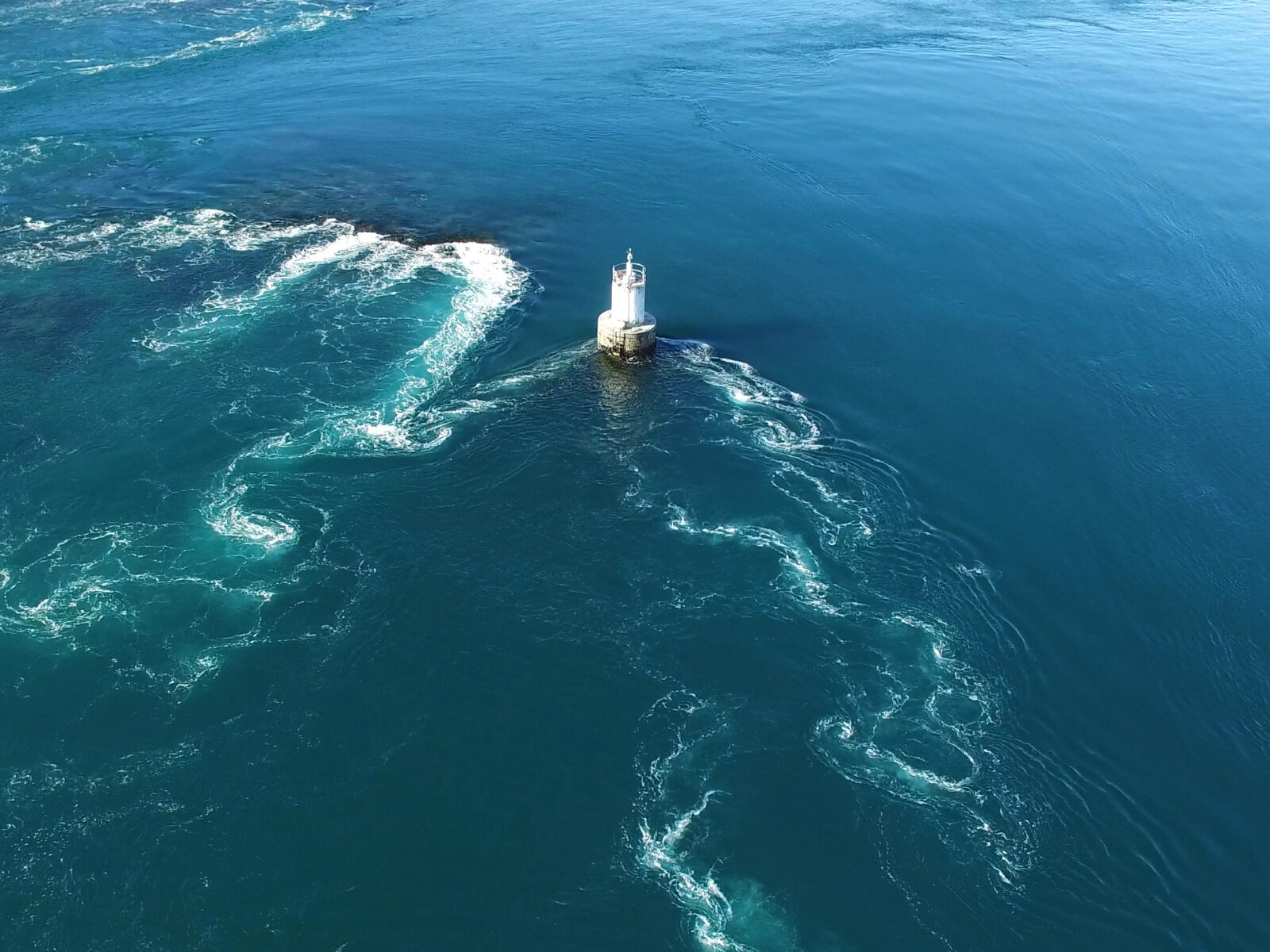
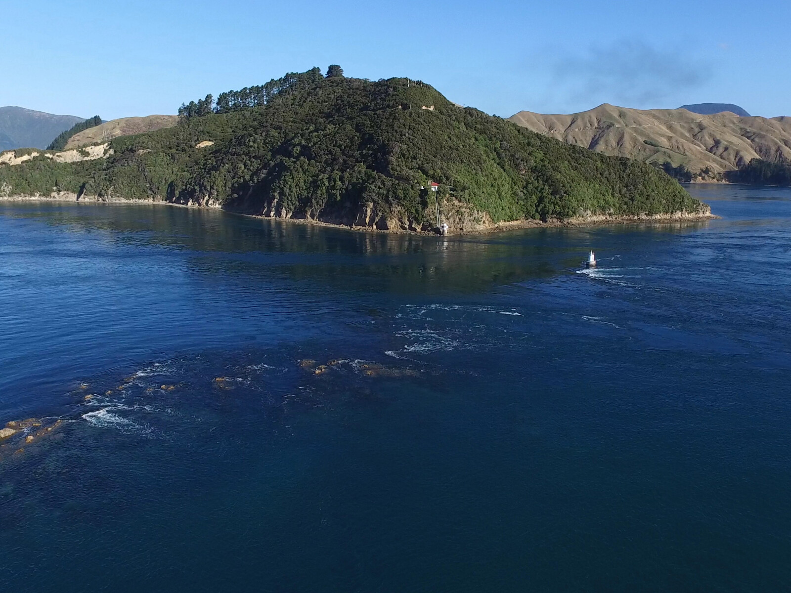
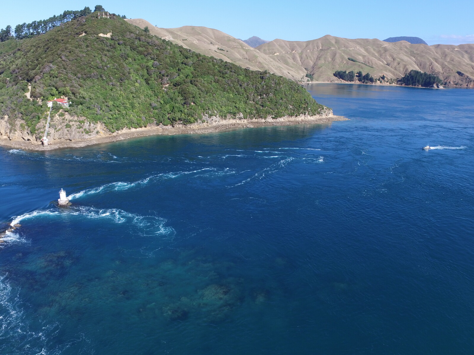
From 1854 to 1880 the only navigational aid sailors had going through the pass was an iron perch erected on the eastern end of the reef. In 1881 the Marine Department replaced it with a concrete based beacon and a few years later this was replaced again by painted telegraph poles bound together with chain.
In the early 1880s the Marine Department built a lighthouse on the mainland side of the pass. A house for the lighthouse keeper was built on the cliff above with a connecting stairway to give access to the light. At the same time a ship’s lamp was attached to the beacon on the reef.
On 1 October 1884 the lighthouse and beacon were officially lit. The lighthouse light was to be lit every evening and extinguished at dawn. The beacon light was to be kept going at all times and had to be replenished with oil at each slack tide. This was a challenging task as the tides allowed only 20 minutes to row across the pass, tend to the light and row back again to the mainland.
In the early 1900s the beacon was deemed unsafe and Marine Department engaged a lighthouse expert, to design and build new beacon. Manual maintenance of the beacon continued until 1927 when an automatic light was installed.
In 1952 the lighthouse was also automated and a lighthouse keeper was no longer needed.3
Between 1888 and 1912, a Risso’s dolphin, named Pelorus Jack, escorted the majority of ships passing to and from Te Aumiti / French Pass across Admiralty Bay. The dolphin would swim alongside the ships, always stopping at the pass, appearing never to swim through. Pelorus Jack became so popular that people would make the trip from Wellington to Nelson just to catch a glimpse of the dolphin.
Pelorus Jack was protected by an Act of Parliament in 1904 and was last seen in 1913 when it is believed to have died of natural causes.4
The reason for Pelorus Jack’s unusual behaviour is unknown. People have speculated that the dolphin was orphaned as an infant and sought out the company of ships. Others, including some local Māori, believe that Pelorus Jack was the taniwha, Tuhirangi called up by Tangaroa, the god of the sea, to act as a guardian in dolphin form.5
Pelorus Jack. Early 1900s. The dolphin Pelorus Jack diving through waves. This photograph was probably taken while he was accompanying a boat travelling between Nelson and Wellington.
Courtesy of the Marlborough Historical Society - Marlborough Museum Archives, 19660491040.

Pelorus Jack. Early 1900s. The dolphin Pelorus Jack diving through waves. This photograph was probably taken while he was accompanying a boat travelling between Nelson and Wellington. Marlborough Historical Society - Marlborough Museum Archives 19660491040
1. I. W. Keys, “The Cultural Succession and Ethnographic Features of D'Urville Island”, The Journal of the Polynesian Society, 69 (1960), accessed April 24, 2018, http://www.jps.auckland.ac.nz/document/?wid=3081 .
2. Olive Baldwin, Story of New Zealand’s French Pass and d’Urville Island (Plimmerton: Fields Publishing House, 1979), 50-55.
3. Olive Baldwin, New Zealand’s French Pass and d’Urville Island. Book Two: Sea Business (Plimmerton: Fields Publishing House, 1981) 16-19.
4. Joy Stephens, “A world famous dolphin”, The Prow.org.nz, accessed May 16, 2018, http://www.theprow.org.nz/events/pelorus-jack/#.Wvv7rkiFPIV .
5. Basil Keane, “Taniwha - Taniwha of the sea”, Te Ara - the Encyclopedia of New Zealand, accessed May 16, 2018, http://www.TeAra.govt.nz/en/taniwha/page-2 .