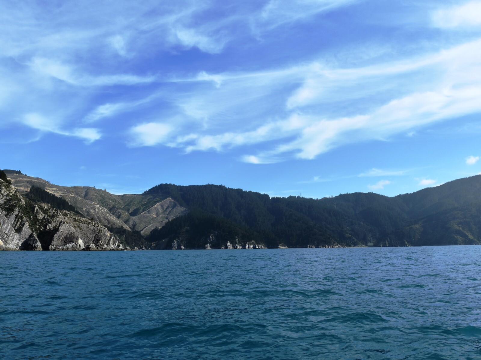
Since 2014, this bay has been officially recognised by the name, Ōraumoa / Fighting Bay.
This dual name is a result of respective Treaty of Waitangi settlements between iwi from Te Tau Ihu (tribes from the top of the South Island) and the Crown.
The bay’s Māori name translates as the place of Raumoa.
Raumoa was the name of an ancestor from the iwi, Rangitāne o Wairau, who lived in the Wairau Valley and travelled to the bay to gather kai moana or seafood.1
There is some conjecture that the name Ōraumoa translates as the place of 100 moa.2
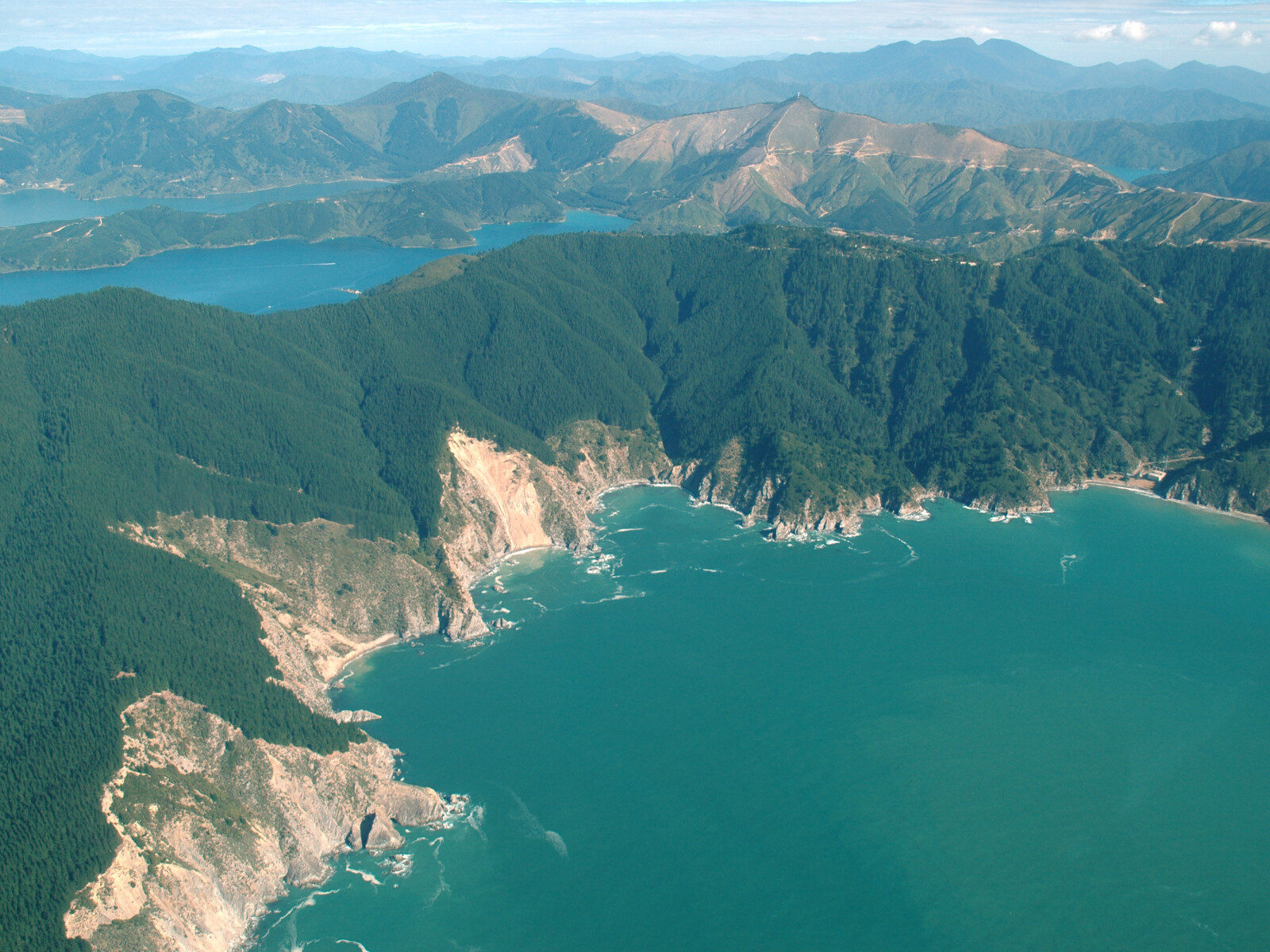
The bay had long been used as a tauranga waka (safe anchorage for canoes) by Māori. The bay’s close location to settlements in Te Whanganui / Port Underwood and access to Te Moana o Raukawa / Cook Strait, meant it was regularly used as a point of transfer between the two islands.
The European name, Fighting Bay, is associated with the bay as the result of a battle that occurred in the early 1830s between the iwi, Ngāti Toa and Ngāi Tahu.
Ngāti Toa, led by the chief, Te Rauparaha, had been hunting for wild fowl at Lake Grassmere / Kapara Te Hau. Prior to returning to their stronghold on Kāpiti Island they rested at Ōraumoa / Fighting Bay. Here they were surprised by Ngāi Tahu, led by the chief Tuhawaiki, who lay in ambush with a party of 340 warriors and 6 waka.
A land and sea battle took place in the bay, both sides had muskets. Accounts state that Ngāti Toa only escaped defeat as a sea fog rose and covered the bay, enabling them to slip away.
Over the years human remains have eroded from the sand and many musket balls have been found in the area.
In 1948 a Douglas Dakota freight plane, flying between Woodbourne in Marlborough and Paraparaumu on the Kapati Coast, hit the top of the hill in the bay (537 metres). Both the pilot, Commander R.J.H. Makgill and co-pilot M.C. MacLeod died in the crash.
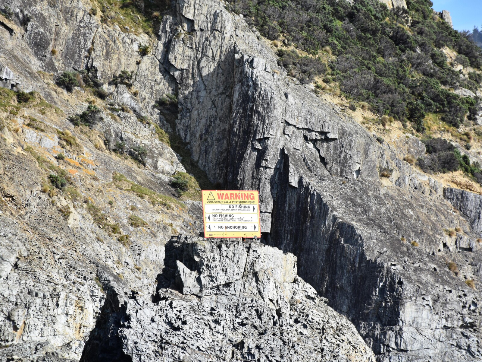
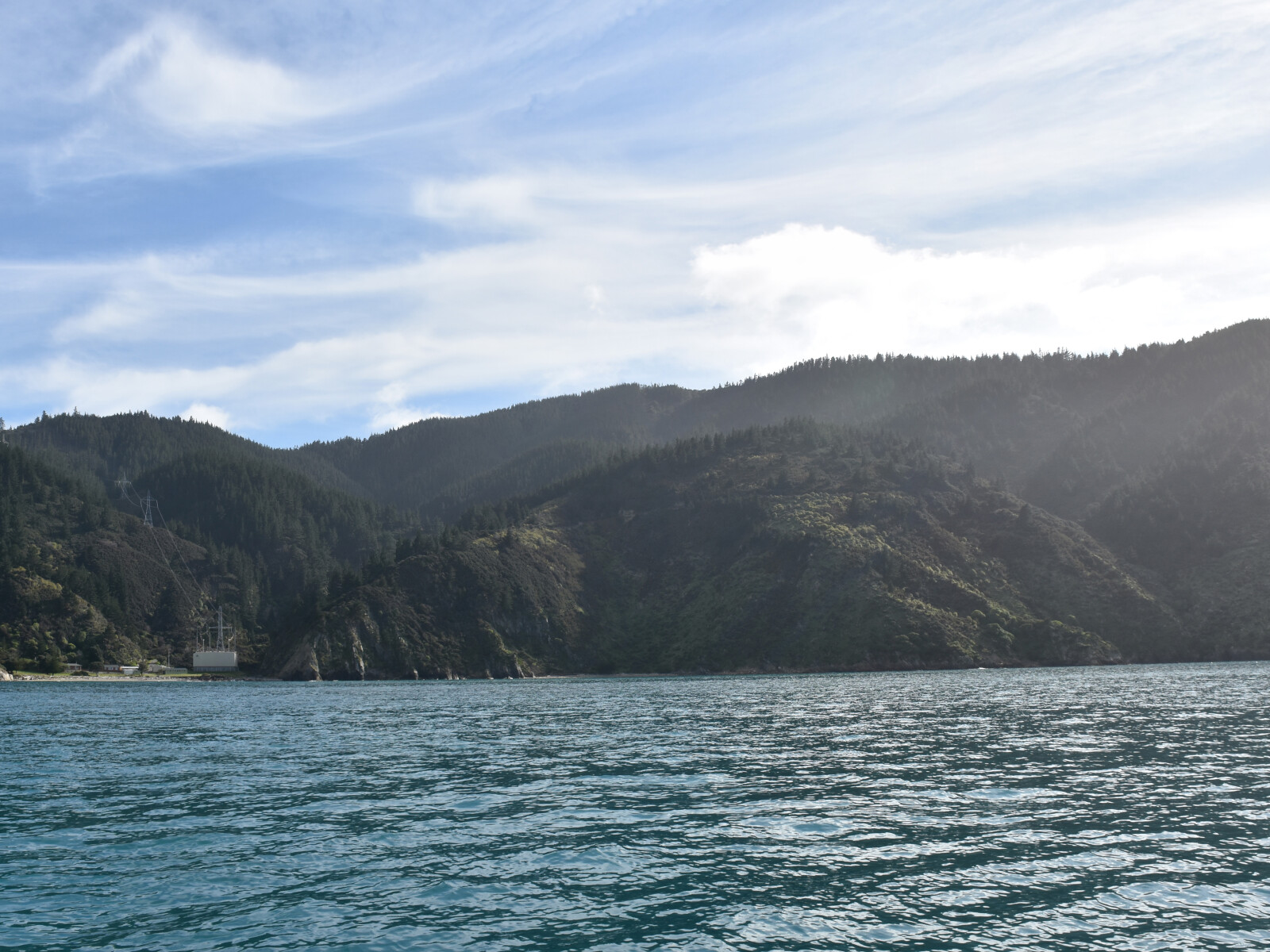
The bay is the southern installation of the Cook Strait hydroelectric cable. Here electricity generated in the South Island is transferred to the North Island.
Construction to lay the cable and build the supporting infrastructure, including large electricity pylons and a steep road between Hakana Bay and Ōraumoa / Fighting Bay occurred in the 1960s.3
1. ‘Ōraumoa / Fighting Bay’, New Zealand Gazetteer, (Land Information New Zealand, 2019), accessed May 7, 2019, https://gazetteer.linz.govt.nz/place/54587 .
2. Roberts, W. H. Sherwood. “Maori Nomenclature: Maori Names of Places in the Provincial District of Marlborough,” Marlborough Express, Volume XXXVII, Issue 216, 12 September 1903, Supplement, accessed January 9, 2018, https://paperspast.natlib.govt.nz/newspapers/MEX19030912.2.58.2 .
3. James R. Eyles, Place Names of Port Underwood - a post European History, (Picton: October Enterprises, 2002) 56.