Search Results for: https://www.galaxus.ch/en/sector/showdiscussion/snaptool-hack-visit-kunghaccom-gn0y942e-225271
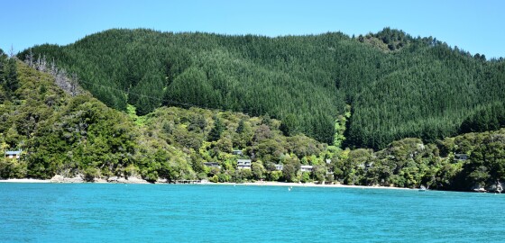
Broughton Bay
 View on Map
Most of the south-western arm of this bay is shallow and unusable by boats.
The south-eastern end of the bay has deep water within ten metres of the shore and provides good shelter in N to E to S winds.
It is, however, slightly exposed to W winds and should not be used in strong winds from the westerly sector.
The islet in the entrance to the bay has a rock jutting out from its northern side.
This islet should be given a clearance… More
East Bay (Inner Queen Charlotte Sound)
 View on Map
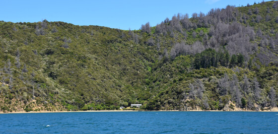
This name is used for three bays in Queen Charlotte Sound. The description here refers to the bay between Kahikatea Bay and Dieffenbach Point.
It is a very sunny spot but is open to wash from incoming ferries and to N to NE winds.
In S sector winds the bay and coves out towards Dieffenbach are calm and there is little problem getting anchorage close to shore. Various cables are laid across the bottom of the bay so care must be taken… More
Titirangi Bay
 View on Map
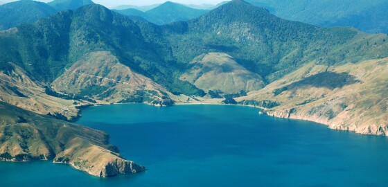
The head of the bay has a good sandy beach divided into two parts by a rocky outcrop. At the western end of the beach are an old wharf and the farm houses of Guards Bay. The old wharf is in a dangerous condition but can make a good mooring in an emergency in S sector winds.
The Pilot recommends the bay as an anchorage for large ships and in particular in the area off the point between Titirangi and Hikoekoea… More
Ocean Bay
 View on Map
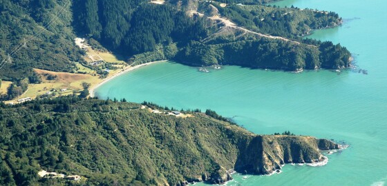
On the western side of Port Underwood, with ready road access via Port Underwood Road, lies Ocean Bay.An attractive bay, with deep water along its sides and a sandy beach at its head, it's a great spot for picnicking in summer.Ocean Bay is completely open to wind and swell from the south, which makes for great surfing.However, for boats, given the semi-circle shape of the bay, it only gives limited shelter from strong N to NW sector winds.Ocean Bay is popular… More
Le Brun Island & Hautai Island to Ohana Bay
 View on Map
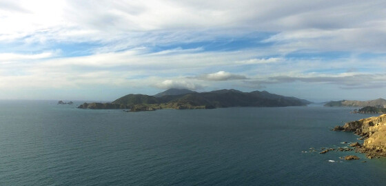
Le Brun Island was named in memory of Prequile Le Brun who served on the Astrolabe, commanded by Admiral Jules Dumont d’Urville in 1827. The Astrolabe was a French Naval exploration ship and the first European vessel to navigate the Te Aumiti / French Pass.1
Prior to December 2010, Le Brun Island was known as Le Brun Peninsula. At low tide, the island is connected to its neighbouring island, Hautai, by a piece of exposed sea bed.2
Hautai means sea wind. This… More
Tira-Ora Lodge
 View on Map
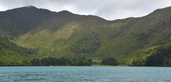
The Tira-Ora Eco-State is a nature & wildlife sanctuary and is the home to many native birds, exotic animals, lush forests, organic gardens, rushing rivers, cascading waterfalls, mighty mountains and a private swimming and fishing bay.
The bay is very attractive and the lodge has both water and stores.
In NW conditions the hills behind the bay accelerate the winds, which then rushes down the slopes and out over the bay with considerable force. This unfortunately makes the bay of little use… More
Blackwood Bay or Tahuahua Bay
 View on Map
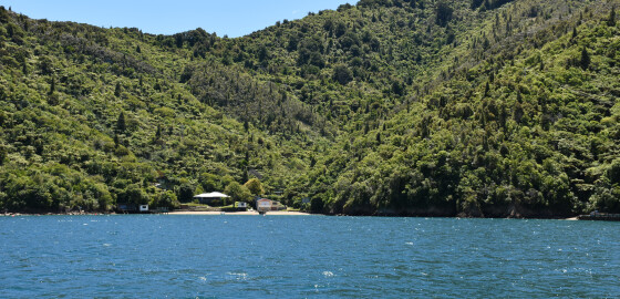
This bay collects a lot of the wash from ferries and is open to most winds.
N sector winds in particular NW blow with some force off the land, making anchorage unpleasant. SE and S winds blow straight into the bay and can build up large swell. The two anchorages shown on the western side are satisfactory in SW to S to NW winds, with the most southerly bay being best in SW conditions. The wind tends to be variable in… More
Chetwode Islands (Nukuwaiata & Te Kakaho)
 View on Map
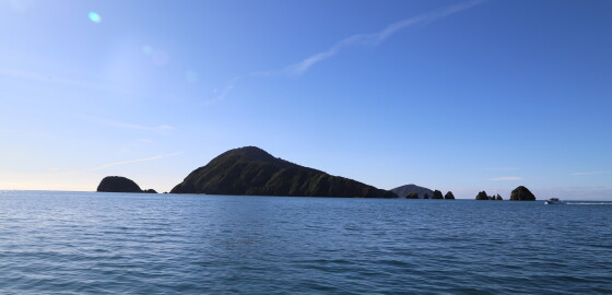
These islands stand at the entrance to Pelorus Sound, have a maximum height of 240 m, with rocky shores and little in the way of quiet, sheltered anchorages.
In N sector winds the south-east coast offers calm water but can be gusty with poor holding and is not recommended for overnight anchorage, except in light N sector winds.
Of the three bays on the south-east side of Nukuwaiata Island, the middle one provides the best shelter.
A shelf extends out from Nukuwaiata to… More
Jerdans Bay
 View on Map
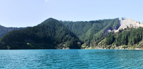
Jerdans Bay is recommended in the Pilot as an anchorage, but only for cruising boats seeking shelter in winds from E to S.
Winds can change direction suddenly in this bay, but in light winds it is great for anchoring in: Good as gold in a light northerly and can be pleasant in a southerly. Strong winds don't offer appealing conditions for anchoring.
Overnight anchorage is suitable only in winds from E to S. Some shelter can also be found in N sector winds, but it can… More
Tory Channel Entrance
 View on Map
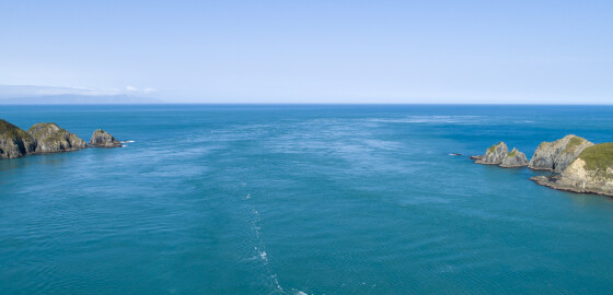
Tory Channel also known as Kura Te Au separates Arapaoa Island from Te Waipounamu.
Tidal streams of up to seven knots flow through the entrance to and from Cook Strait. These tidal streams cause a great deal of turbulence, which can be very dangerous.
In N sector winds the Tory Channel entrance usually poses little problem. However, S sector winds generally create a heavy ground swell and this swell, meeting the shore line, piles up creating a steep sea.
If combined with a strong… More