Search Results for: https://www.galaxus.ch/en/sector/showdiscussion/snaptool-hack-visit-kunghaccom-gn0y942e-225271
Hamilton Cove
 View on Map
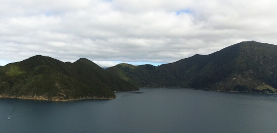
Hamilton Cove, in the southern end of Waitata bay, has good holding and shelter in S sector winds and is deep close to shore.
This cove can be a little open in N winds and care should be exercised in strong NW to N conditions.
There are a number of marine farms on the eastern and western sides of the cove. More
Yncyca Bay
 View on Map
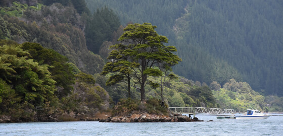
It is shallow at the head of this bay and boats drawing more than two meters should keep at least 100 meters from the shoreline.
The bay tends to be gusty in all conditions and should only be used as an anchorage in N to E to S conditions. Holding is good in the head of the bay.
If windy and one is caught at Dillon Bell in bad SE conditions, this bay makes for a safe refuge.
The cove near the NE… More
Waitui Bay
View on MapThe shore of this bay is fringed with rocks and cliffs and presents a forbiddingaspect. There is no shelter from N sector winds but there is some shelter in Ssector winds if close to the land. The bay is open to considerable surge and canbe uncomfortable place to anchor in S winds. The eastern side of the bay has several outlying, sunken rocks and should begiven a clearance of 30 m. More
Punt Arm
 View on Map
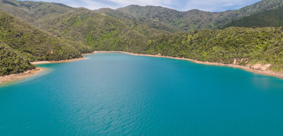
Punt and Smylies Arm are shallow and open to most winds. There is shelter in the anchorage indicated in Smylies Arm from sea conditions in SE to S winds but the bay acts as a wind funnel. The only real shelter from S sector winds is in Mill Arm. More
Trafalgar Point to Otu Bay
 View on Map
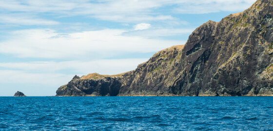
Trafalgar Point was named in 1834 by the officers aboard the surveying ship, HMS Alligator, in memory of the Battle of Trafalgar.Nile Head was also named by the HMS Alligator, in memory of Lord Nelson’s success in the Battle of the Nile, Aboukir Bay, when he defeated Napoleon Bonaparte’s fleet in 1798.1As with many localities on Rangitoto ki te Tonga / D’Urville Island, Nile Head boasts unmanaged stands of the exotic tree, pinus radiata. These trees, originally planted as woodlot… More
FAQ
Frequently Asked Questions Can I use the club moorings shown on the Cruise Guide Map?If you wish to use the moorings shown as Club moorings shown on the map in this guide, you must first join one of the three boating clubs:Waikawa Boating Club,
Pelorus Boating Club or
Mana Cruising Club.
Information about these Clubs and membership are found on the following websites: www.waikawaboatingclub.co.nz
www.pelorusboatingclub.com
www.manacc.co.nz
How long will it take to get from Wellington to Picton?Approximately 3.5 hours by ferry and approximately 9 hours by yacht. Where can… More
Waitata Bay
 View on Map
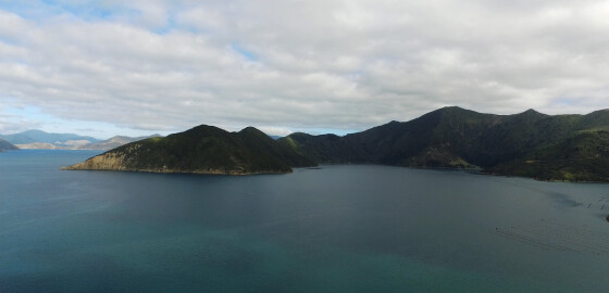
The entrance to this bay is between Boat Rock on the northern side and Kaiaua Point on the southern side.
Boat Rock is approximately one metre high and is connected to the shore by underwater rocks.
Waitata Bay tends to be extremely windy in NW to N winds and except for Hamilton Cove is open to S sector winds. More
Overview
Queen Charlotte Sound
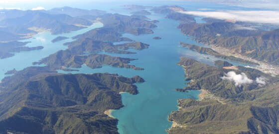
Queen Charlotte Sound (Tōtaranui in Māori) is the easternmost sound of the Marlborough Sounds in New Zealand’s South Island. Like the other sounds, is a drowned river valley (also called ria) and runs south-west to north-east before joining up with Cook Strait. Its calm waters, which contrast with the notoriously rough waters of Cook Strait, make it popular with sailors.
The entrances to Queen Charlotte Sound can be hazardous, as shown by the number of ship wrecks: Most remarkably… More
Crail Bay
 View on Map
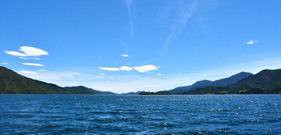
High hills line the western side of this bay that extend from Opani-aputa Point southwards for four miles to its head at the Crail Bay settlement.
The whole area is very open to all winds and N sector winds, in particular, can push a large sea into the area.
There is road access to the head of Crail Bay from St Omer. Very little of the area is recommended as an anchorage. More
Privacy Statement
Your privacy is important to us at MDC. Our privacy statement sets out how, and why we collect and store your personal information, what we will use it for and with whom we can share it.We take our obligations under the Privacy Act 2020 (Privacy Act), and the information privacy principles in the Privacy Act, seriously. This privacy statement has been prepared in accordance with our obligations and your rights under the Privacy Act.Certain products and services we provide may… More