Search Results for: https://www.galaxus.ch/en/sector/showdiscussion/snaptool-hack-visit-kunghaccom-gn0y942e-225271
Elie Bay
 View on Map
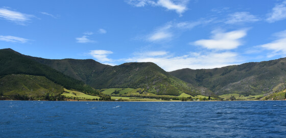
The only suitable anchorage is at the north-eastern entrance to the bay.
This small cove provides shelter from all N sector winds. The head of the bay is shallow and there are some outlying rocks along the western side of the bay.
There is no suitable anchorage here in S sector winds, as they tend to blow with considerable force down the valleys. More
Ahitarakihi Bay
 View on Map
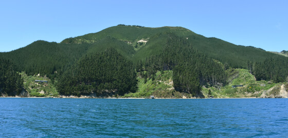
This area is completely open to prevailing W to NW winds.
Ahitarakihi Bay gives no shelter in N sector winds. There is shelter from sea in S sector winds but the bay is subject to gusts and the holding is poor. Amerikawhati Island has a large shoal off its southern end. More
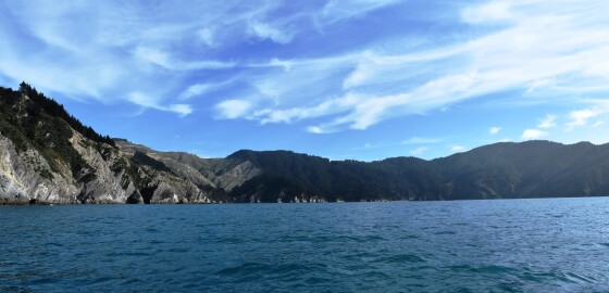
Fighting Bay
 View on Map
Since 2014, this bay has been officially recognised by the name, Ōraumoa / Fighting Bay.This dual name is a result of respective Treaty of Waitangi settlements between iwi from Te Tau Ihu (tribes from the top of the South Island) and the Crown.1Fighting Bay is the location of the main transmission station for the power lines that run through the Cook Strait.This is a strict no anchoring zone but can be visited. No fishing is permitted in this bay.At either… More
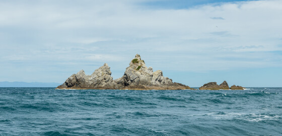
Tu Araiawa Island (Fin Island)
 View on Map
Tu Araiawa (Fin Island) has officially been known by its dual name since 1983.1
Araiawa means rocks standing in the way and blocking a passage of water. This probably refers to the position of the island at the mouth of Greville Harbour.
The island was named Fin by European settlers.2
1. “Tu Araiawa Island (Fin Island)”, New Zealand Gazetteer, (Land Information New Zealand, 2018), accessed, June 25, 2018, https://gazetteer.linz.govt.nz/place/6430 .
2. Olive Baldwin, Story of New Zealand’s French Pass and d’Urville Island (Plimmerton: Fields… More
Ruaomoko Point to Ngaionui Point
 View on Map
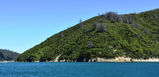
The two bays here provide shelter and calm water during N sector winds but are open to S sector winds and ferry wash.
The eastern most bay (Goose Bay) can be dangerous in gale force NW conditions as the hills seem to be a breeding ground for williwaws.
These circular winds swoop down the bay and out over the channel towards Onapua and can be very dangerous to an unprepared sailing vessel. More
Harbour Notice 19-2026
Harbour Notice 19-2026
Maritime Transport Act 1994 s33L
The vessel WILD CHORUS is described as a white 12 metre ferro cement yacht. The vessel is currently moored in Whatamango Bay on mooring #2861.
If no person claims ownership of the vessel within one month of this notice being advertised, Marlborough District Council will sell or dispose of the vessel.
If you are the owner, or know the owner, please contact us by email: [email protected]; Phone 03 520 7400; or visit Marlborough District Council at 15 Seymour… More
Notice of intention to Sell / Dispose of vessel
Harbour Notice 21-2026.
Maritime Transport Act 1994 s33L
The vessel HOT PANTZ is described as a white 6-metre yacht.
The vessel is currently moored in Picton Harbour on mooring M3872.
If no person claims ownership of the vessel within one month of this notice being advertised, Marlborough District Council will sell or dispose of the vessel.
If you are the owner, or know the owner, please contact us by email: [email protected]; Phone 03 520 7400; or visit Marlborough District Council at 15 Seymour Street, Blenheim, or the… More
Port Marlborough
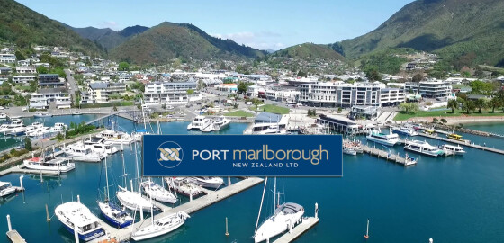
The Marlborough Sounds provide scenic cruising for all vessels from kayaks to large cruise liners.Port Marlborough New Zealand Limited is based at Picton and operates diverse port and marina facilities in the Marlborough Sounds.
The port is naturally deep and Waimahara Wharf at Shakespeare Bay can accommodate cargo vessels up to 13.5m draft and cruise ships up to 320m long.Picton is the South Island terminal port for New Zealand's inter-island passenger and freight ferries. It is located in the Queen Charlotte… More
Camp Bay (Waitata Bay)
 View on Map
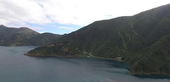
Camp Bay provides calm water in N sector winds, but can tend to be gusty with indifferent holding.
The bay is open to S sector winds.
Between Camp Bay and Hop Pole Bay there is a pleasant stony beach with a stream with a good flow of water from it.
Just inland from the beach there is waterfall with some deep pools at its base that are pleasant for bathing. More
Robin Hood Bay
 View on Map
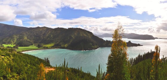
Since 2014, this bay has been officially recognised by the name, Waikutakuta / Robin Hood Bay.
This dual name is a result of respective Treaty of Waitangi settlements between iwi from Te Tau Ihu (tribes from the top of the South Island) and the Crown.1
The Bay is often popular in the summer time due to its close proximity to Blenheim.
This bay is not a desirable place to anchor in, as the swell breaks halfway up the bay and the wind tends… More