
Search Results for: https://www.galaxus.ch/en/sector/showdiscussion/snaptool-hack-visit-kunghaccom-gn0y942e-225271
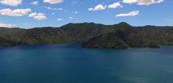
Kaipakirikiri Bay (Western Arm of Double Bay)
 View on Map
This and Kumutoto (the rest of Double Bay) are a scenic reserve administered by the Department of Conservation. The beach consists of small golden shingle with some sand at LW. Most of the beach is covered at HW.
Kaipakirikiri is the quieter alternative to Kumutoto in the summer months. The bay is good holding and shelter in SW to W but is open to SW to S winds. In strong N sector winds it can be gusty at the head of… More
Penzance
 View on Map
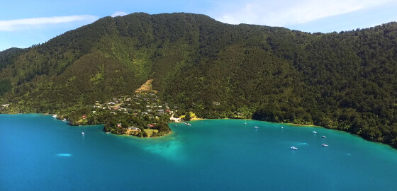
This bay has long been the venue of the annual New Year’s Regatta, and is located at the entrance to Tuna Bay.
A major wharf and a launching ramp makes this a frequented boating centre.
Large numbers of boats are usually moored at its western side and deep water can be found up until close in to shore.
There is fair holding in the sandy bottom. It is possible to anchor with a stern line to the northern shore, but this is sometimes… More
Motuara Island
 View on Map
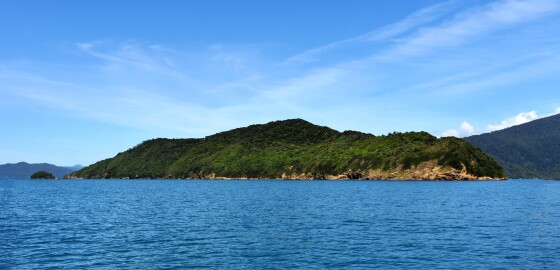
There is a Department of Conservation wharf in the centre of the western side of the island with four metres of water at LWS. It is an easy 20 minute walk to an historical cairn erected to commemorate Captain Cook’s taking possession of Queen Charlotte Sound.
The view from the lookout tower is worth the climb to the hilltop.
A large kelp bed and reef extends due north from the northernmost point of the island for about 750 metres and ends in… More
Maraetai Bay
 View on Map
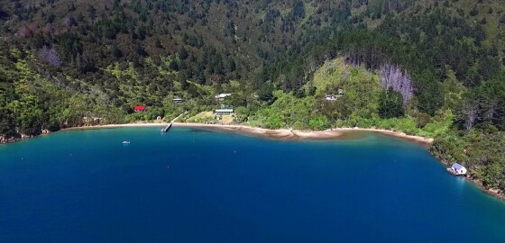
The small bays on the western side provide shelter in NW to N winds, while the two bays in the south-west end of the bay give best shelter in NW to N winds. Because there are a number of baches (holiday homes) in these bays, it is difficult to anchor with a line ashore without disturbing land owners.
The south-east end of the bay features a small cove with a house and a wharf. This cove is sheltered from all winds but… More
Croisilles Harbour
 View on Map
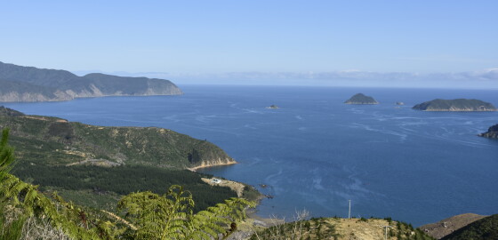
The entrance into Croisilles Harbour is between Kakaho Point at the east and Cape Soucis at West. Near the east side of the entrance lie Otuhaereroa and Motuanauru Islands. There is adequate depth to enter between the land and Otuhaereroa and between the two islands but extreme care must be taken because of off lying rocks from both islands. Moukiriki Island lies about one point three miles south of the islands. A large number of rocks, islets and reef extends… More
Bird Island
 View on Map
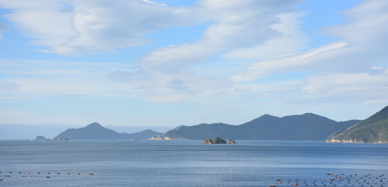
Bird Island in the middle of Forsyth Bay is surrounded by a shelf of rock, extending out under the sea. Although there are no particular outlying dangers, a clearance of at least 40 m should be given from the visible rocks. Sugar Loaf Rocks to the south-west of Allan Strait extend nearly half a mile to the west from the land. As all these rocks are unlit, considerable care should be taken when navigating in this area at night. There… More
Oyster Bay (Tory Channel)
 View on Map
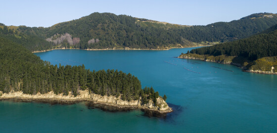
This bay is a natural wind funnel and even light zephyrs scream through with gale force intensity.
Such was the power of the wind that the old house that once stood at the head of the bay had hydrangeas growing 2 metres high covering the front windows: Although they kept the light out, they were reputed to have prevented stones flying off the beach from hurling through the windows by NW winds.
The Pilot recommends the outer part of the bay as… More
Ngawhakawhiti Bay North
 View on Map
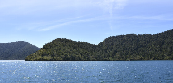
This is a very pretty bay and has been a popular anchorage for many years. It can be a windy spot in bad weather but holding is good. There are several anchorages in this bay and options seem to vary as to the best place.
Generally calmest conditions will be found in the northern end of the bay, in all N sector winds. There is a small beach here and the shore shelves gently. Care should be exercised to be sure that… More
Kidnap Point to Old Mans Head
 View on Map
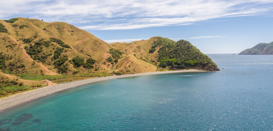
The cape, Kidnap Point, is possibly the locality where the whaling ship, Mary and Elizabeth was attacked in 1834 by chief Te Mako Tarapiko of Ngāti Koata while seeking utu or retribution.1 The attack resulted in the vessel being plundered and two Ngāti Koata men being killed.2
Te Marua or as it is often referred to, Old Pa is situated slightly inland, overlooking Te Horea Bay, south along the coast from Kidnap Point.
Te Marua means pit or valley. Old Pa reflects… More
Ngawhakawhiti Bay South
 View on Map
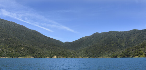
This is a very pretty bay and has been a popular anchorage for many years. It can be a windy spot in bad weather but holding is good. There are several anchorages in this bay and options seem to vary as to the best place.
Generally calmest conditions will be found in the northern end of the bay in Ngawhakawhiti North, in all N sector winds. There is a small beach there and the shore shelves gently. Whenever anchoring in this… More