
Search Results for: https://www.galaxus.ch/en/sector/showdiscussion/snaphack-online-visit-kunghaccom-o9b7u10m-226205
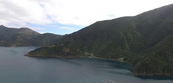
Camp Bay (Waitata Bay)
 View on Map
Camp Bay provides calm water in N sector winds, but can tend to be gusty with indifferent holding.
The bay is open to S sector winds.
Between Camp Bay and Hop Pole Bay there is a pleasant stony beach with a stream with a good flow of water from it.
Just inland from the beach there is waterfall with some deep pools at its base that are pleasant for bathing. More
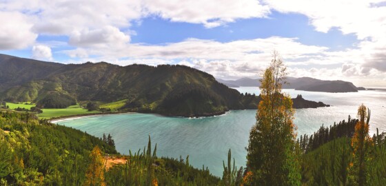
Robin Hood Bay
 View on Map
Since 2014, this bay has been officially recognised by the name, Waikutakuta / Robin Hood Bay.
This dual name is a result of respective Treaty of Waitangi settlements between iwi from Te Tau Ihu (tribes from the top of the South Island) and the Crown.1
The Bay is often popular in the summer time due to its close proximity to Blenheim.
This bay is not a desirable place to anchor in, as the swell breaks halfway up the bay and the wind tends… More
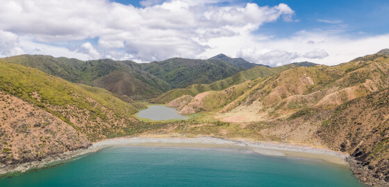
Bottle Point to Two Bay Point
 View on Map
Bottle Point is a rugged point of land semi-circling Otu Bay. The island off Bottle Point was once joined to the point with a narrow natural rock bridge that collapsed in 1916.1
There is a legend that long ago a party of warriors invading Rangitoto ki te Tonga / D’Urville Island chased local Māori across the land bridge at the end of the point, trapping them. The invaders decided to sit and wait until the fugitives’ food and water supplies were… More
Fish Bay
 View on Map
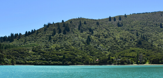
Shelter can only be found here in N sector winds. It is not deep close to the shore and it is important to allow for the considerable tidal range when anchoring.
About three quarters of a mile to the east of Fish Bay is a cove which also provides good shelter in N sector winds.
A boat ramp has been built in Fish Bay alongside the Kenepuru Road which can be utilised. An extensive mussel farm is located in the cove to… More
Te Matau a Maui Bay
 View on Map
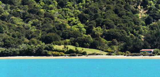
The whole of this bay is shallow and dries for a considerable distance out from the shore. It is recommended that no attempt be made to enter into the head of this bay. NW winds blow with considerable force out of this bay, hence there is no satisfactory anchorage in winds from that sector. In S sector winds there is good anchorage on the north side of the peninsula dividing the bay from St Omer. If a stern line is used,… More
Mistletoe Bay
 View on Map
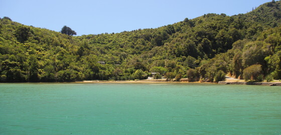
It is very attractive here and the foreshore and wharf are open to public access.
The bay is sheltered with good holding in N sector winds but is completely exposed to S sector winds.
It is possible to anchor with a line ashore or swing free. Various cables are laid across the bottom of the bay so care must be taken when anchoring.
It is very shallow at the head of the bay and dries out about 20 m from the shore.
There is… More
Waikaramea Bay
 View on Map
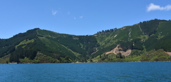
This area is completely open to prevailing W to NW winds.
Waikaramea Bay gives some shelter at its head in S sector winds. It is not deep close to shore and a stern line is impractical. The southern entrance to this bay has a rock approximately 100 metres out from the shore as indicated in the sketch. This rock is visible except at HW. Waikaramea Bay is completely open to N sector winds. More
Endeavour Inlet
 View on Map
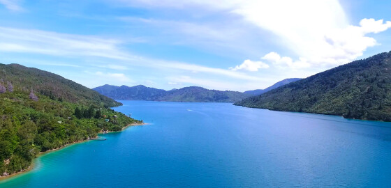
A popular summer recreation area, this large bay on the western side of Outer Queen Charlotte Sound has its entrance between Edgecombe and Scott Points. There are outlying rocks from both of these points. The reef off Scott Point is particularly dangerous as there is a sunken rock out from a visible rock; a clearance of 100 metres is suggested. There are also dangerous rocks off Marine Head and 100 metres off the northern entrance to Tawa Bay. A sunken… More
The Beef Barrels (Kahikatoa)
View on MapThe Beef Barrels (Kahikatoa) are notorious for having caused many wrecks. They are frequently very difficult to see and usually seem to be further seaward that would be expected from their charted positon. Other rocks, some awash at low water, surround the three main rocks. At spring high water, all rocks are often covered. The area is approximately half a mile in diameter, extremely dangerous and should be given a wide berth. The safest passage is to stay close to… More
Kawhia Bay
 View on Map
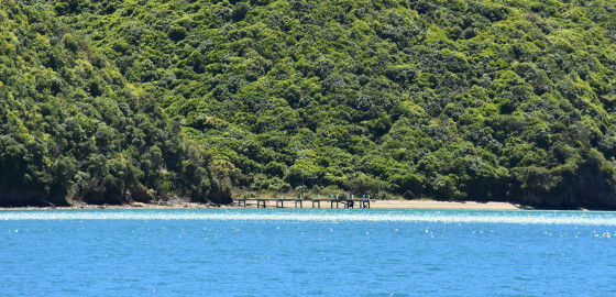
The entrance to this bay is very wide and although there is a sand bank in the middle, it is not extensive and is over three meters deep.
The bays on the eastern side have small beaches and are attractive; however, they are exposed to prevailing W to N winds.
Although giving shelter in SW to S winds, the small size of the bays and shallow depth make it difficult to get far enough into the bays to lay an anchor and… More