
Search Results for: https://www.galaxus.ch/en/sector/showdiscussion/hack-snap-free-visit-kunghaccom-asecbuh1-225790
Overview
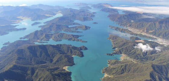
Queen Charlotte Sound
Queen Charlotte Sound (Tōtaranui in Māori) is the easternmost sound of the Marlborough Sounds in New Zealand’s South Island. Like the other sounds, is a drowned river valley (also called ria) and runs south-west to north-east before joining up with Cook Strait. Its calm waters, which contrast with the notoriously rough waters of Cook Strait, make it popular with sailors.
The entrances to Queen Charlotte Sound can be hazardous, as shown by the number of ship wrecks: Most remarkably… More
Crail Bay
 View on Map
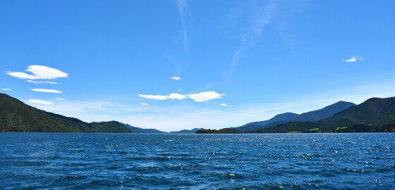
High hills line the western side of this bay that extend from Opani-aputa Point southwards for four miles to its head at the Crail Bay settlement.
The whole area is very open to all winds and N sector winds, in particular, can push a large sea into the area.
There is road access to the head of Crail Bay from St Omer. Very little of the area is recommended as an anchorage. More
Privacy Statement
Your privacy is important to us at MDC. Our privacy statement sets out how, and why we collect and store your personal information, what we will use it for and with whom we can share it.We take our obligations under the Privacy Act 2020 (Privacy Act), and the information privacy principles in the Privacy Act, seriously. This privacy statement has been prepared in accordance with our obligations and your rights under the Privacy Act.Certain products and services we provide may… More
Hikoekoea (Goose) Bay
 View on Map
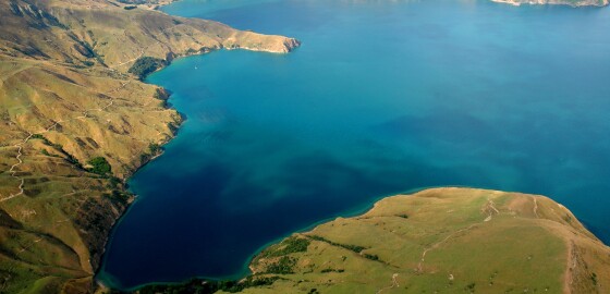
There is deep water up to the cliffs on the southern side of this bay. Rocks fringe the shoreline but with no outlying dangers. This is completely open to W to N to NE winds but is good shelter and holding in other winds.
A stern line is impractical and unnecessary. A considerable length of anchor line will be required, and holding needs to be checked.
There is a combined club mooring here. This can be a very windy anchorage in S… More
Beatrix Bay
 View on Map
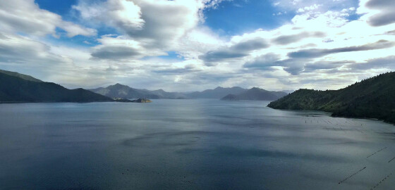
This bay is approximately two miles square and because of its size is open to all winds.
The bay is of little use as a quiet anchorage in bad conditions.
At the north-west end of the bay, there is some shelter from NW to N winds, but it can be extremely gusty.
Similar conditions occur in the north-eastern end of the bay.
Laverique, Tuhitarata and Sheep Pen Bays all have protection from sea conditions in winds from the S sector, but they have little… More
Ngakuta Bay (Port Underwood)
 View on Map
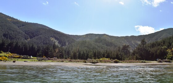
Ngakuta Bay (Port Underwood) provides some shelter in north sector winds and can be comfortable to anchor in NW. However, it can be unpleasant in strong winds and unsuitable in a southerly wind.The bay is quite shallow, especially towards the beach head which can be less than 1m of water. Moorings tend to be located between Ngakuta and neighbouring Hakana Bay. There is also a wooden jetty between the two bays.The bay contains a memorial to the Reverend Samuel Ironside. More
Allports Island
 View on Map
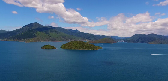
The name applies collectively to the two islands delineating the outer end of Double Bay.
There is deep water around the whole coast of the islands and the only practical anchorage is on the south-east side close to the passage between the islands.
This is recommended only as a temporary stopping place in N sector winds.
The passage between the islands has a rock across the entrance on the Double Bay side and is recommended for dinghies only. More
Whangakoko Bay
 View on Map
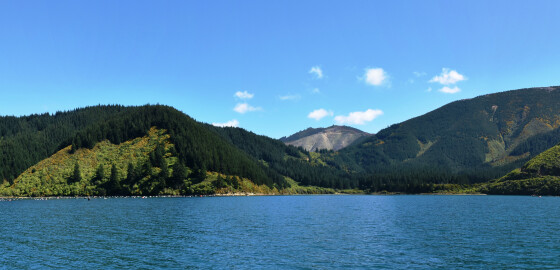
Backed by pine forests, Whangakoko Bay has a small and shallow beach that can be accessed by car or boat via Tumbledown Bay Road. It is a peaceful getaway for a picnic and a swim in summer.
It gives some shelter in N sector winds but can be unpleasant in strong winds: It is best to anchor in the northern end of the bay.
There are a number of marine farms in the area and associated mussel back bones dominate the majority of… More
North West Bay
 View on Map
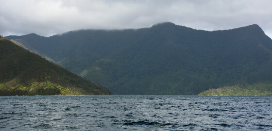
The name of this bay seems to belie one of its characteristics. In NW conditions the hills behind the bay accelerate the winds, which then rushes down the slopes and out over the bay with considerable force.
This unfortunately makes the bay of little use as an anchorage in W to N winds.
Because the bay lies open to the south-east, it is also of little use as an anchorage in S sector winds.
The south-western end of the bay gives some shelter… More
Whakatahuri Bay
 View on Map
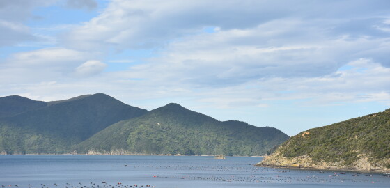
A boat yard and resident boat builder are at Whakatahuri Bay, in the south-east end of the bay. There is some shelter from NW winds anchored close to the boat yard. This area does, however, tend to be open to sea breezes and can be very gusty in S winds. The south-east side of this bay is a better anchorage in S sector winds. The bay is good holding and is known locally as "The Warrick". More