Search Results for: https://www.galaxus.ch/en/sector/showdiscussion/hack-snap-free-visit-kunghaccom-asecbuh1-225790
St Omer Bay
 View on Map
The bay has a pleasant sand/shingle beach along its northern end, which turns into a sand mud beach at the south-eastern side.
.Note that the wharf has less than a metre of water at LWS.
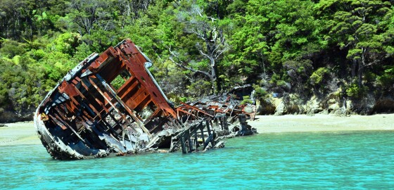
In the southern end of the bay there is the hulk of the sailing ship, Amokura, on the beach. This hulk is privately owned and has for many years been slowly dismantled for scrap.
To the west of the hulk of the Amokura and approximately 60 meters out… More
Wiriwaka Point
View on MapThe bay under this point is very sheltered in N sector wind conditions but is shallow for most of its area and catches the wash from incoming ferries.
This bay should not be used in winds from the SE to S. SW winds tend to blow from W along the channel and this bay affords good shelter from them. More
Whangarae Bay
 View on Map
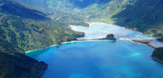
Opening from the main harbour to the west, the bay is exposed from winds from the NE sector and borders on its western side a large lagoon. This bay is shallow and should be entered with caution. It gives adequate anchorage in SW conditions. The safe entry to the anchorage is along the south-eastern shore of the bay. More
Kauauroa Bay
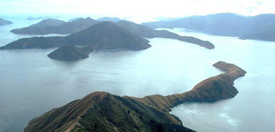 View on Map
The shape of this bay causes it to collect a considerable amount of sea.
In SW to N conditions, the sea that builds up in Tawhitinui Reach, is pushed into this bay making it an uncomfortable anchorage.
These winds tend to be deflected by the land and blow into the bay as an SW wind. The bay is also exposed to S sector winds.
There are a number of marine farms in the bay to be aware of. More
Te Iro Bay
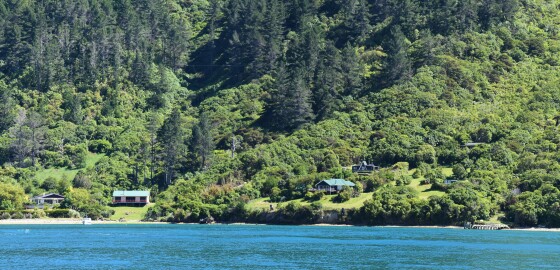 View on Map
Shallow and good holding but open to both ferry wash and all S winds. It is reasonably sheltered in N sector winds but the effect of the ferry wash limits its usefulness as an anchorage.
The bays on both sides of Te Iro have the same characteristics. More
Tawa Bay (Onapua Bay)
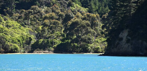 View on Map
While there is good holding and shelter in northerly sector winds, the bay can be gusty in gale conditions. It provides shelter in south easterly winds but not in southerly or south westerly. The head of this bay is very shallow. More
Coppermine Bay
View on MapThis bay is sometimes known by the name, Copper Ore Bay.1
From the 1860s onwards, copper mining took place in the bay. The D’Urville Island Copper Mine Company started prospecting in 1866 and sunk several 27 metre deep shafts and tunnels.
In early 1879, two shipments of copper ore were sent to Australia for smelting.
The company closed in 1880 due to financial difficulties.2
The mining shafts in this bay still exist but are largely hidden by vegetation. It is necessary to use caution… More
Double Bay (Queen Charlotte Sound)
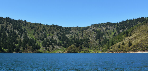 View on Map
This bay is open to prevailing NW to N winds but do offer shelter in E to S winds.
Double Bay tends to be a bit gusty in S sector winds and has a mooring on the N side.
There is a nice picnic spot in this bay and the beach is very pleasant.
There is a small camp site in the north east end of the bay. More
Nikau Cove
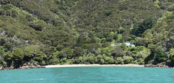 View on Map
Nikau Cove provides sheltered anchoring in S winds. The bay shelves close to the NW shore but there is sufficient depth off the cove to anchor. The bay is exposed to the N sector winds. More
Smokehouse Bay
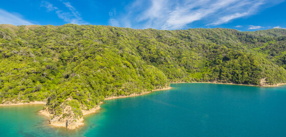 View on Map
Smokehouse Bay has a pleasant shell/flat stone beach and is an enjoyable place for a picnic. The anchorage in the eastern end of the bay is suitable from winds from N to E to S. A stern line is desirable. There is shelter from sea conditions in the southern end of the bay from SE to SW winds but can be a little gusty. This part of the bay is open to all sea breezes and N sector winds. More