Search Results for: https://www.galaxus.ch/en/sector/showdiscussion/hack-snap-free-visit-kunghaccom-asecbuh1-225790
Rams Head Coastal Section
 View on Map
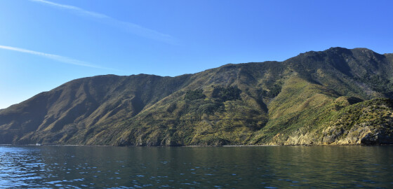
This area of coastline is quite exposed especially to all N sector winds. More
Portage Bay
 View on Map
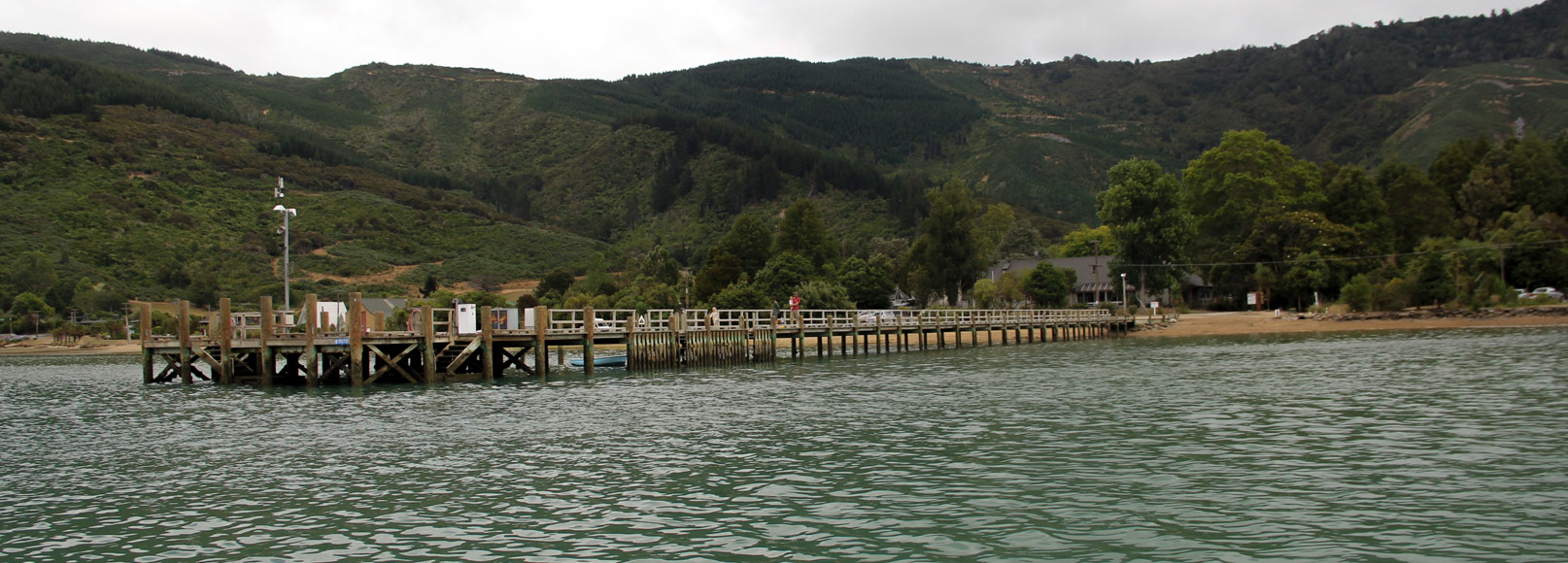
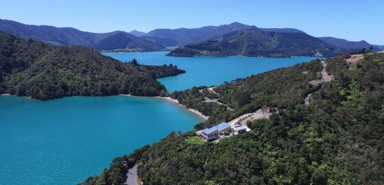
The hotel and access to Queen Charlotte Sound have made this bay a focal point of Kenepuru Sound. The hotel is licensed and the dining room is open to casual guests. The hotel operates a bus service from Portage to Torea Bay and will arrange to meet water taxis.
The wharf has deep water at all states of the tide at the seaward end. The wharf is available to visitors and berthage should be arranged at the hotel.
The Marina beside the… More
Tawero Point Coastal Section
 View on Map
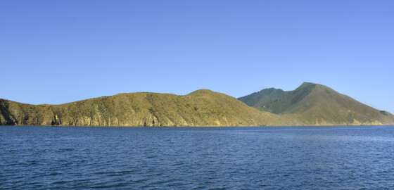
This area of coastline is quite exposed especially to all N sector winds.
There are numerous marine farms in most of the bays. More
Missionary Bay
View on MapThis bay is open to northerly winds but is sheltered from south sector winds.There is a combined club mooring here. More
Massacre Bay
 View on Map
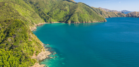
It is likely this bay was known by local Māori as Tapapekohia. European settlers named it Massacre Bay after an incident in July 1824 where several of the crew of a sealing ship, the Samuel, were killed.
Commanded by Captain John Dawson, the Samuel sought refuge from a storm in Tapapekohia Bay, while journeying from Sydney, Australia to Foveaux Strait. While in the bay, the ship was visited by several canoes from the local iwi, Ngati Kuia. Unfortunately, one of the… More
Otu Bay
 View on Map
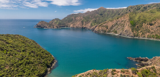
This bay has steep cliffs on both sides and becomes very shallow at its head. It is a good picnic spot but completely open to sea breezes and sea conditions. There is some shelter from N sector winds in the bay on the eastern side with about 10 m of water. More
Torea Bay
 View on Map
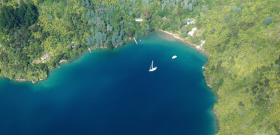
The entrance is between Ngatawhetawheta and Pihaka Points
Approximately one and a half miles long it is deep until close to shore
The North end of Torea is the terminus of the road to Portage with a wharf and floating jetty, one available for loading and unloading passengers.
North West winds do funnel down the bay causing a short chop to develop. These winds can be gusty at times.
This wharf is frequented by commercial water transport operators.
The road across the saddle is a… More
Te Mahia Bay
 View on Map
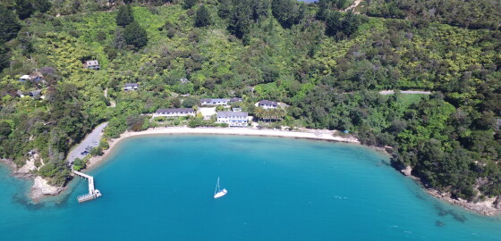
At the southern end of this bay is the Te Mahia motel complex. It consists of 13 self-serviced units and has an extensive shop that includes bait and tackle. There is a new wharf with a floating jetty. Access to the wharf is on the inner side only.
Holding in this area is only fair and the main part of the bay is open to all winds. Anchorage is not recommended in the southern end of the bay, out from the old… More
Whataroa Bay
View on MapThe name of this bay possibly refers to a large elevated storage platform for food, a whata.1The bay has a long history of human settlement. The iwi (tribe) Ngāti Toa Rangatira, had a pā in the bay during the Nineteenth Century and the New Zealand Company chief surveyor, William Mein Smith, described whare or dwellings in the bay in 1842.2 In addition, an archaeological survey undertaken in the 1970s noted remains of occupation at the south end of bay. In 1870… More
Te Weka Bay
 View on Map
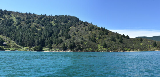
Te Weka Bay is open to all N sector winds and ferry wash. There is also a strong tidal current. This bay is only recommended for overnight anchorage in E to S winds. More