Search Results for: https://www.galaxus.ch/en/sector/showdiscussion/hack-snap-free-visit-kunghaccom-asecbuh1-225790
Harbour Notice 19-2026
Harbour Notice 19-2026
Maritime Transport Act 1994 s33L
The vessel WILD CHORUS is described as a white 12 metre ferro cement yacht. The vessel is currently moored in Whatamango Bay on mooring #2861.
If no person claims ownership of the vessel within one month of this notice being advertised, Marlborough District Council will sell or dispose of the vessel.
If you are the owner, or know the owner, please contact us by email: [email protected]; Phone 03 520 7400; or visit Marlborough District Council at 15 Seymour… More
Notice of intention to Sell / Dispose of vessel
Harbour Notice 21-2026.
Maritime Transport Act 1994 s33L
The vessel HOT PANTZ is described as a white 6-metre yacht.
The vessel is currently moored in Picton Harbour on mooring M3872.
If no person claims ownership of the vessel within one month of this notice being advertised, Marlborough District Council will sell or dispose of the vessel.
If you are the owner, or know the owner, please contact us by email: [email protected]; Phone 03 520 7400; or visit Marlborough District Council at 15 Seymour Street, Blenheim, or the… More
Port Marlborough
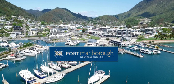
The Marlborough Sounds provide scenic cruising for all vessels from kayaks to large cruise liners.Port Marlborough New Zealand Limited is based at Picton and operates diverse port and marina facilities in the Marlborough Sounds.
The port is naturally deep and Waimahara Wharf at Shakespeare Bay can accommodate cargo vessels up to 13.5m draft and cruise ships up to 320m long.Picton is the South Island terminal port for New Zealand's inter-island passenger and freight ferries. It is located in the Queen Charlotte… More
Camp Bay (Waitata Bay)
 View on Map
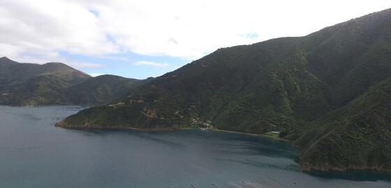
Camp Bay provides calm water in N sector winds, but can tend to be gusty with indifferent holding.
The bay is open to S sector winds.
Between Camp Bay and Hop Pole Bay there is a pleasant stony beach with a stream with a good flow of water from it.
Just inland from the beach there is waterfall with some deep pools at its base that are pleasant for bathing. More
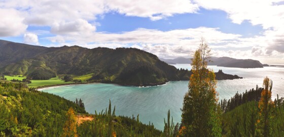
Robin Hood Bay
 View on Map
Since 2014, this bay has been officially recognised by the name, Waikutakuta / Robin Hood Bay.
This dual name is a result of respective Treaty of Waitangi settlements between iwi from Te Tau Ihu (tribes from the top of the South Island) and the Crown.1
The Bay is often popular in the summer time due to its close proximity to Blenheim.
This bay is not a desirable place to anchor in, as the swell breaks halfway up the bay and the wind tends… More
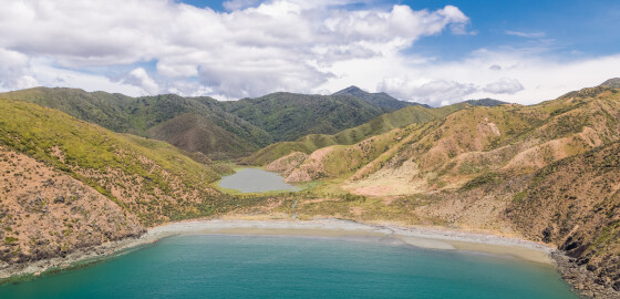
Bottle Point to Two Bay Point
 View on Map
Bottle Point is a rugged point of land semi-circling Otu Bay. The island off Bottle Point was once joined to the point with a narrow natural rock bridge that collapsed in 1916.1
There is a legend that long ago a party of warriors invading Rangitoto ki te Tonga / D’Urville Island chased local Māori across the land bridge at the end of the point, trapping them. The invaders decided to sit and wait until the fugitives’ food and water supplies were… More
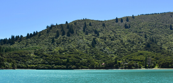
Fish Bay
 View on Map
Shelter can only be found here in N sector winds. It is not deep close to the shore and it is important to allow for the considerable tidal range when anchoring.
About three quarters of a mile to the east of Fish Bay is a cove which also provides good shelter in N sector winds.
A boat ramp has been built in Fish Bay alongside the Kenepuru Road which can be utilised. An extensive mussel farm is located in the cove to… More
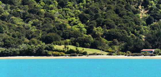
Te Matau a Maui Bay
 View on Map
The whole of this bay is shallow and dries for a considerable distance out from the shore. It is recommended that no attempt be made to enter into the head of this bay. NW winds blow with considerable force out of this bay, hence there is no satisfactory anchorage in winds from that sector. In S sector winds there is good anchorage on the north side of the peninsula dividing the bay from St Omer. If a stern line is used,… More
Waikaramea Bay
 View on Map
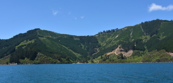
This area is completely open to prevailing W to NW winds.
Waikaramea Bay gives some shelter at its head in S sector winds. It is not deep close to shore and a stern line is impractical. The southern entrance to this bay has a rock approximately 100 metres out from the shore as indicated in the sketch. This rock is visible except at HW. Waikaramea Bay is completely open to N sector winds. More
Endeavour Inlet
 View on Map
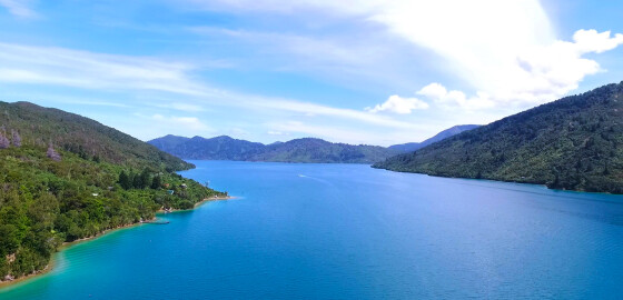
A popular summer recreation area, this large bay on the western side of Outer Queen Charlotte Sound has its entrance between Edgecombe and Scott Points. There are outlying rocks from both of these points. The reef off Scott Point is particularly dangerous as there is a sunken rock out from a visible rock; a clearance of 100 metres is suggested. There are also dangerous rocks off Marine Head and 100 metres off the northern entrance to Tawa Bay. A sunken… More