
Search Results for: https://www.galaxus.ch/en/sector/showdiscussion/hack-snap-free-visit-kunghaccom-asecbuh1-225790
Steamboat Bay
 View on Map
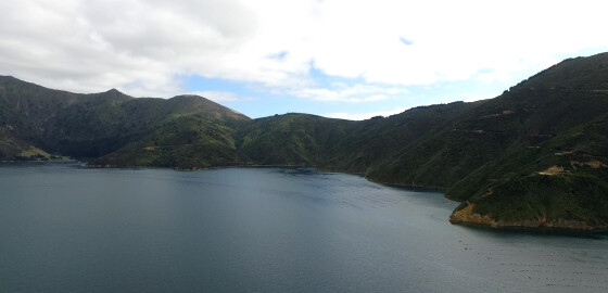
Steamboat Bay offers relatively calm water in N sector winds, but tends to be gusty with indifferent holding.
Open to S sector winds. More
Arthur's Bay (Gem Resort)
 View on Map
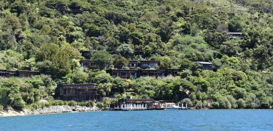
Arthur’s Bay has the ‘Bay of Many Coves Resort’ with restaurants and wharves. The head of the bay is well sheltered from all but the very rare easterly winds.
There are some moorings here but it is usually possible to anchor with a line to the northern shore.
The resort invites you to Arrive in your own boat and make use of their 8 private moorings right in front of the resort.
All moorings are secure 3 tonne blocks and the resort is… More
Brightlands Bay
 View on Map
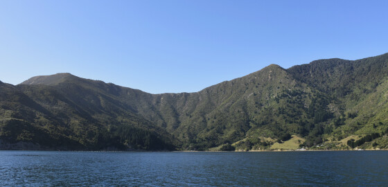
Completely open all N sector winds, which push a large sea into the bay.
Although there is calm water in S sector winds, the wind funnels out of the bay with considerable force.
The point off the eastern side of the bay is fringed with rocks and should be given a clearance of at least 50 metres.
After a heavy rain a majestic waterfall can be observed here. More
Black Rock Bay
 View on Map
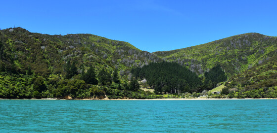
Black Rock Bay is exposed to the N sector winds but would provide some shelter in S Sector winds. The bay shelves close to the shore but anchoring can be achieved in the middle of the bay. More
Cockle Cove
 View on Map
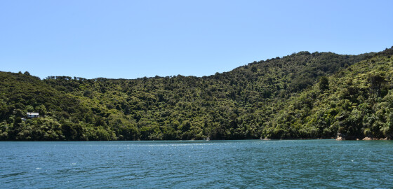
Cockle Cove has more room and has a combined club mooring and private jetties. This bay is mostly visited by bach owners.
The head of the cove is shallow. In N sector winds it is a good anchorage if boats are tied with a line to the western bank.
The mooring is in the most sheltered part of the bay. It can be very gusty in the cove in gale NW conditions and the bay is open to SE winds and not… More
Elie Bay
 View on Map
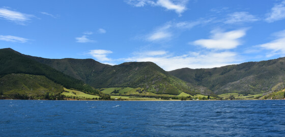
The only suitable anchorage is at the north-eastern entrance to the bay.
This small cove provides shelter from all N sector winds. The head of the bay is shallow and there are some outlying rocks along the western side of the bay.
There is no suitable anchorage here in S sector winds, as they tend to blow with considerable force down the valleys. More
Ahitarakihi Bay
 View on Map
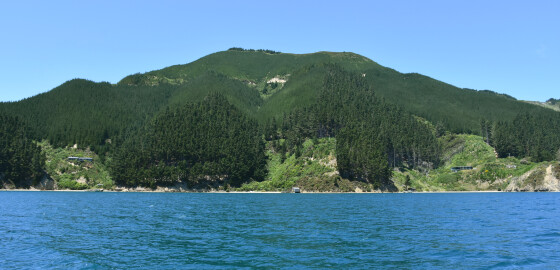
This area is completely open to prevailing W to NW winds.
Ahitarakihi Bay gives no shelter in N sector winds. There is shelter from sea in S sector winds but the bay is subject to gusts and the holding is poor. Amerikawhati Island has a large shoal off its southern end. More
Fighting Bay
 View on Map
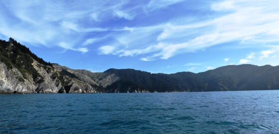
Since 2014, this bay has been officially recognised by the name, Ōraumoa / Fighting Bay.This dual name is a result of respective Treaty of Waitangi settlements between iwi from Te Tau Ihu (tribes from the top of the South Island) and the Crown.1Fighting Bay is the location of the main transmission station for the power lines that run through the Cook Strait.This is a strict no anchoring zone but can be visited. No fishing is permitted in this bay.At either… More
Tu Araiawa Island (Fin Island)
 View on Map
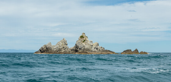
Tu Araiawa (Fin Island) has officially been known by its dual name since 1983.1
Araiawa means rocks standing in the way and blocking a passage of water. This probably refers to the position of the island at the mouth of Greville Harbour.
The island was named Fin by European settlers.2
1. “Tu Araiawa Island (Fin Island)”, New Zealand Gazetteer, (Land Information New Zealand, 2018), accessed, June 25, 2018, https://gazetteer.linz.govt.nz/place/6430 .
2. Olive Baldwin, Story of New Zealand’s French Pass and d’Urville Island (Plimmerton: Fields… More
Ruaomoko Point to Ngaionui Point
 View on Map
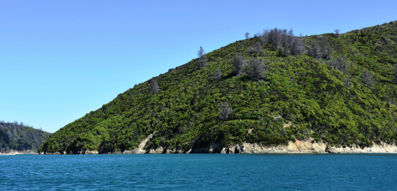
The two bays here provide shelter and calm water during N sector winds but are open to S sector winds and ferry wash.
The eastern most bay (Goose Bay) can be dangerous in gale force NW conditions as the hills seem to be a breeding ground for williwaws.
These circular winds swoop down the bay and out over the channel towards Onapua and can be very dangerous to an unprepared sailing vessel. More