
Search Results for: https://www.galaxus.ch/en/sector/showdiscussion/hack-snap-free-visit-kunghaccom-asecbuh1-225790
Kidnap Point to Old Mans Head
 View on Map
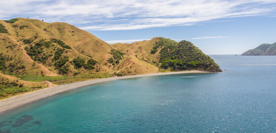
The cape, Kidnap Point, is possibly the locality where the whaling ship, Mary and Elizabeth was attacked in 1834 by chief Te Mako Tarapiko of Ngāti Koata while seeking utu or retribution.1 The attack resulted in the vessel being plundered and two Ngāti Koata men being killed.2
Te Marua or as it is often referred to, Old Pa is situated slightly inland, overlooking Te Horea Bay, south along the coast from Kidnap Point.
Te Marua means pit or valley. Old Pa reflects… More
Ngawhakawhiti Bay South
 View on Map
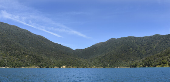
This is a very pretty bay and has been a popular anchorage for many years. It can be a windy spot in bad weather but holding is good. There are several anchorages in this bay and options seem to vary as to the best place.
Generally calmest conditions will be found in the northern end of the bay in Ngawhakawhiti North, in all N sector winds. There is a small beach there and the shore shelves gently. Whenever anchoring in this… More
Resolution Bay
 View on Map
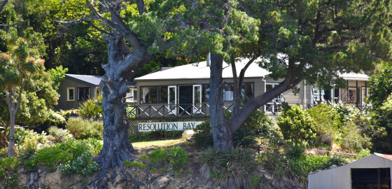
Completely open to all SE to S winds but otherwise gives good shelter.The coves on the south-west shore do offer protection from S winds but it is difficult to get suitable anchorage because of the depth.There is a holiday resort in the northern arm of the bay and limited stores can be obtained here.Water is available from the wharf.A number of large rocks below the surface are visible on the southern side of the wharf. These are over three metres below… More
Fauna
Seabirds
Australasian gannet (Morus serrator)
The Australasian gannet is a magnificent, large white seabird with a yellow head, black outer wing feathers with some black on the tail. Renowned for their remarkable soaring and diving skills, gannets have frontally placed eyes for accurate telescopic vision. Low plunging dives are their most common fishing methods.
However, they may begin kamikaze-like dives from as high as 30 metres, reaching speeds up to 145km/h before plummeting into the sea and diving as deep as 10m to… More
Catherine Cove
 View on Map
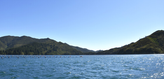
This area has an unfortunate and not misplaced reputation concerning wind and poor holding. This bay is often used because of its convenience for an overnight stop, when travelling to and from Tasman Bay.In bad weather, however, the anchorage is not recommended and it is better to use Kapowai or Deep Bay in N sector winds.The Remarkable Cone on D’Urville Peninsula shown on the chart is now scrub covered and may not be as remarkable as legend has it.The anchorage… More
Cannibal Cove to Cape Jackson
 View on Map
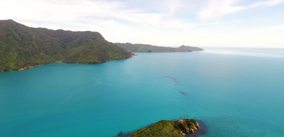
This area has steep hills running down to the water’s edge and is deep close to shore. Rocks fringe the shore-line but generally there are no outlying dangers. Apart from the head of Cannibal Cove and some parts of Anakakata Bay, there are no beaches.
NW to N winds tend to become accelerated in this area and often blow up to twenty knots stronger than the main wind speed in Cook Strait.
This increased wind force is felt up to a mile… More
Waihinau (Bulwer) Bay
 View on Map
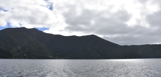
The entrance to this bay is covered by an area on foul ground, extending three fifths of a mile due south from Danger Point and terminating in Keep Clear Rock.
This rock is about two metres below the surface, at LW, and is marked by a starboard lateral mark.
The mark is unlit and this area should be given a wide berth at night.
There is four metres of water over the area of foul ground between the rock and Danger Point.
There is… More
Kumutoto Bay (Eastern Arm of Double bay)
 View on Map
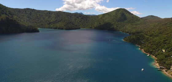
This bay is split into two arms and is very attractive, Pikupiku Bay on the north-western side is a scenic reserve and on the eastern shore there are a number of attractive holiday homes.
Pikupiku Bay features a small Department of Conservation camp area that is great for a quiet picnic among the native bush.
There is a 5 knot speed buoy as you enter the bay.
A small distance back from the shore is an old tree with many… More
South Arm
 View on Map
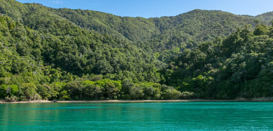
This arm is very pretty as the surrounding hills are covered by native bush. All of the headlands should be given a clearance of 100 m to avoid rocks.
Allman Bay has shelter from all winds and is one of the few bays with VHF reception or phone reception. On the northern side, the anchorage is protected from W to NE winds and on the other side the anchorage is protected from E to S to W winds. The holding is… More
The Brothers
 View on Map
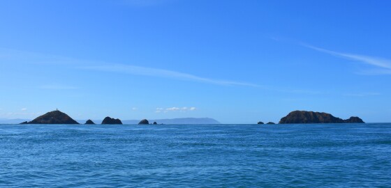
This group of rocky islands lies approximately two miles east of Cape Koamaru. The group is split in two, with the northern islands comprising of a main rounded island approximately 80 metres high, with a lighthouse on top of it and several houses and building. A number of rocky islets extend in a semicircle to the south of this island. Further south is another main island, lying in a north-east/south-west direction, with islets off its southern and north-eastern end. There… More