Search Results for: https://www.galaxus.ch/en/sector/showdiscussion/hack-snap-free-visit-kunghaccom-asecbuh1-225790
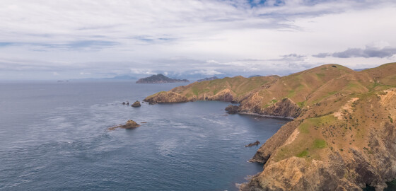
Billhook Bay
 View on Map
The bay north of Billhook Bay is known as the Gut.
In 1973 at the point between Billhook Bay and the Gut a rare fossil of an extinct marine mollusc known as an ammonoid was found by J. B. Waterhouse.
The ammonoid species was named d’Urvilleoceras Woodmani Waterhouse.1
The discovery of this fossilised species was significant as it ignited scientific debate around the geological origin of the sandstone and limestone rock that makes up a significant proportion of Rangitoto ki te Tonga /… More
Ship Cove (Meretoto)
 View on Map
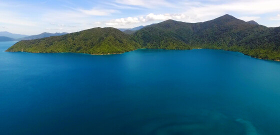
This bay is attractive and the surrounding hills are completely covered with native bush. There is a substantial wharf here as well as toilets, fireplaces and shelters around the grassy areas along the foreshore.
A swift river comes out into the bay between the wharf and monument and holding in this area can be very poor. Water is piped to the wharf.
A marked track leads from near the wharf to Resolution Bay. This track tends to be muddy and is through… More
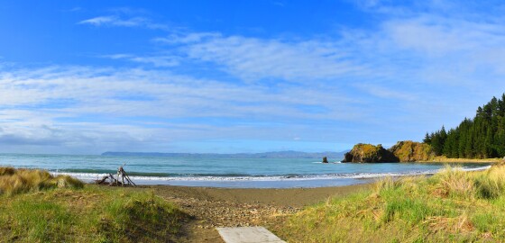
Whites Bay
 View on Map
Since 2014, this bay has been officially recognised by the name, Pukatea/ Whites Bay.
This dual name is a result of respective Treaty of Waitangi settlements between iwi from Te Tau Ihu (tribes from the top of the South Island) and the Crown.1
1. “Puketea/Whites Bay”, New Zealand Gazetteer, (Land Information New Zealand, 2019), accessed, April 2, 2019, https://gazetteer.linz.govt.nz/place/48575 . More
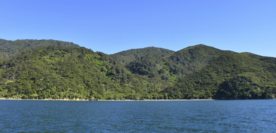
Lucky Bay
 View on Map
This bay hosts a small Department of Conservation campsite.1
1. 'Lucky Bay Campsite', Department of Conservation, accessed, June 5, 2018, https://www.doc.govt.nz/parks-and-recreation/places-to-go/marlborough/places/french-pass-and-durville-island-scenic-reserves/things-to-do/campsites/lucky-bay-campsite/ . More
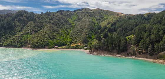
Kupe Bay
 View on Map
Kupe Bay is named from an abbreviation of the larger bay’s name, Manuhakapakapa.
A homestead is located in this bay.
To the south of the bay is a point known as Iron Pot Point. It was named after an old whaling pot that was found lying in the scrub.1
In 1973 at Iron Pot Point a rare fossil of an extinct marine mollusc known as an ammonoid was located by J. B. Waterhouse.
The ammonoid species was named d’Urvilleoceras Woodmani Waterhouse.2
The discovery of this… More
Fishing
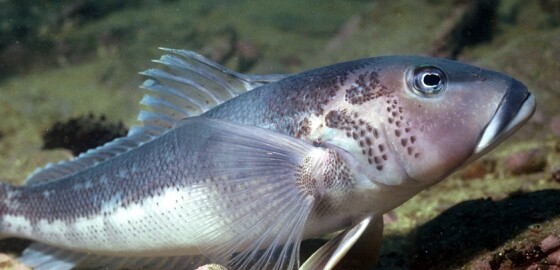
For information about fish size and catch limits please visit: Challenger Area Fishing Limits
Restrictions apply to the Blue Cod fishery - Challenger East Area (includes Marlborough Sounds Area)
Marlborough Sounds Area Only
Closed: 1 September – 10 January 2026.
Daily Limit: 2 per fisher
You can possess up to 4 blue cod in the Challenger East Area (includes the Marlborough Sounds Area) if you can prove that no more than 2 of those blue cod were taken on any one day from the Challenger East Area.… More
Bonne Point to Penguin Island
View on MapPenguin Bay contains a small Department of Conservation campsite with a stream and views to the mainland.1
'Penguin Bay Campsite', Department of Conservation, accessed, June 5, 2018, https://www.doc.govt.nz/parks-and-recreation/places-to-go/marlborough/places/french-pass-and-durville-island-scenic-reserves/things-to-do/campsites/penguin-bay-campsite/ .
More
Terms & Conditions
Marlborough Cruise Guide Website
Terms and Conditions
The following Terms and Conditions govern access to and use of this website. Use of this website is taken as acceptance of these terms and conditions.
1. Navigational Use
1.1 The Cruise Guide is intended to be a general guide providing helpful information for boaties and visitors to the Marlborough Sounds. It is not intended for navigational use. Always navigate by reference to a current navigational chart or map.
2. Feedback and Contributions
2.1 Feedback and contributions to this… More
Scotts Bay
 View on Map
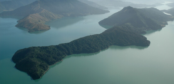
Scotts Bay is very exposed to the N to W sector winds, but there is some shelter from the S sector winds. There are a number of Mussel farms in the bay but there is a clear area for anchoring in the NE end of the Bay. More
Fairy Bay
 View on Map
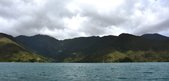
There are a number of attractive beaches in this bay. All of the coves on the northern side give good shelter in N sector winds. The water is deep, close to the shore, in this area and there are no outlying dangers. These coves are; however, open to all S sector winds.
The western part of the bay is sheltered from most winds, but the head of the bay is extremely shallow.
Boats should not approach within 50 meters of the shore in… More