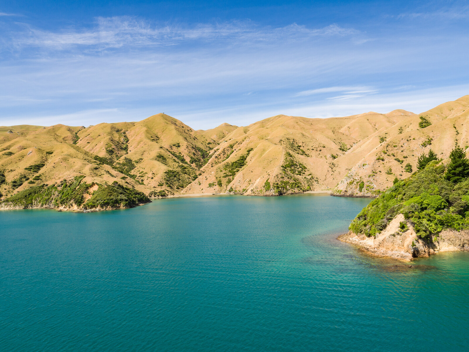
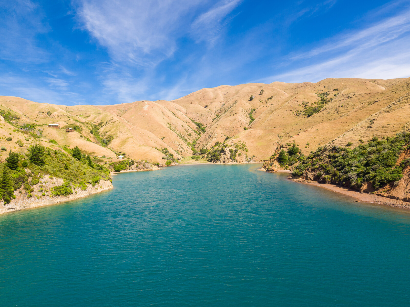
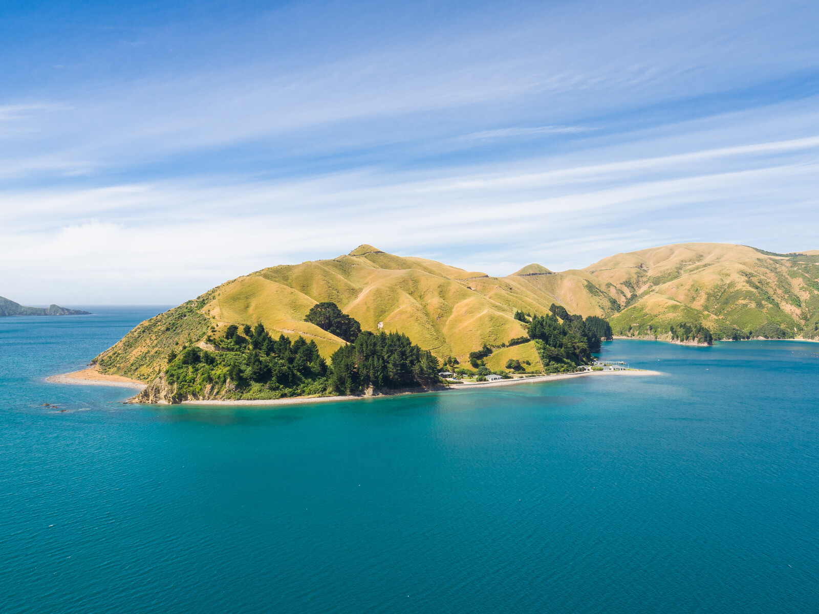
All of the surrounding land is farmed and there are few trees. Accordingly there tends to be less shelter from wind and few places where a stern line can be put ashore to pull a boat out of the wind.
The two anchorages shown in Deserter Bay are satisfactory for winds from S semi-circle. A stern line should be used in the cove to the west of the red cliffs. The head of Deserter Bay is shallow and then drops steeply. Anchorage can be found in about 10 m, 100 m from the shore, but the anchor may slide down into deeper water and plenty of anchor line will be required. Camp Bay tends to act as a wind funnel but has good holding.
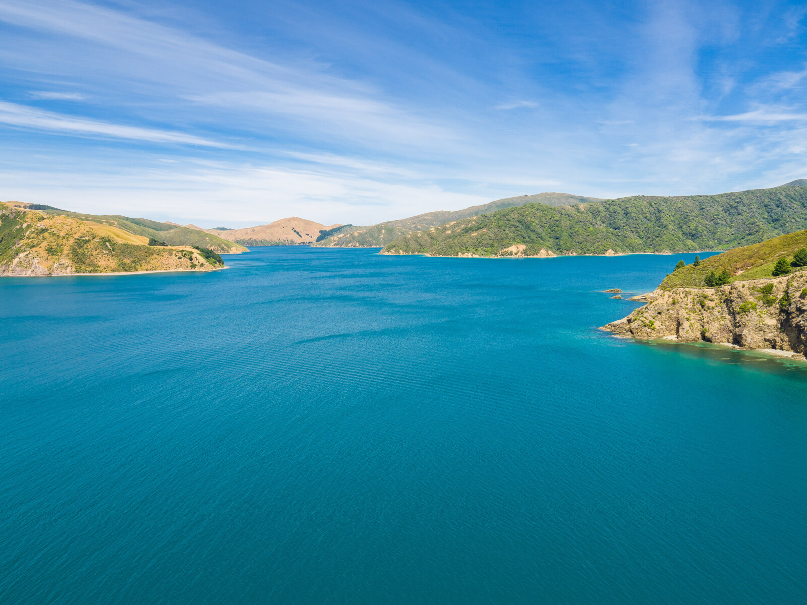
The remaining anchorage shown is satisfactory for winds form N semi-circle. The whole bay is little more than 8 m in depth with good holding. There is a small cove I the position shown where astern line can be put ashore, and the direct force of N winds can be avoided. A long line will be needed.