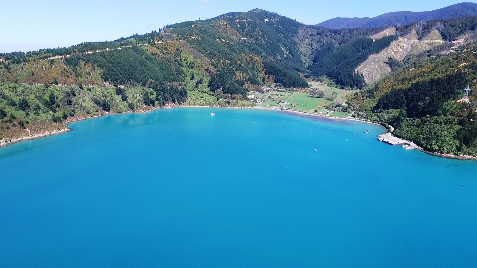
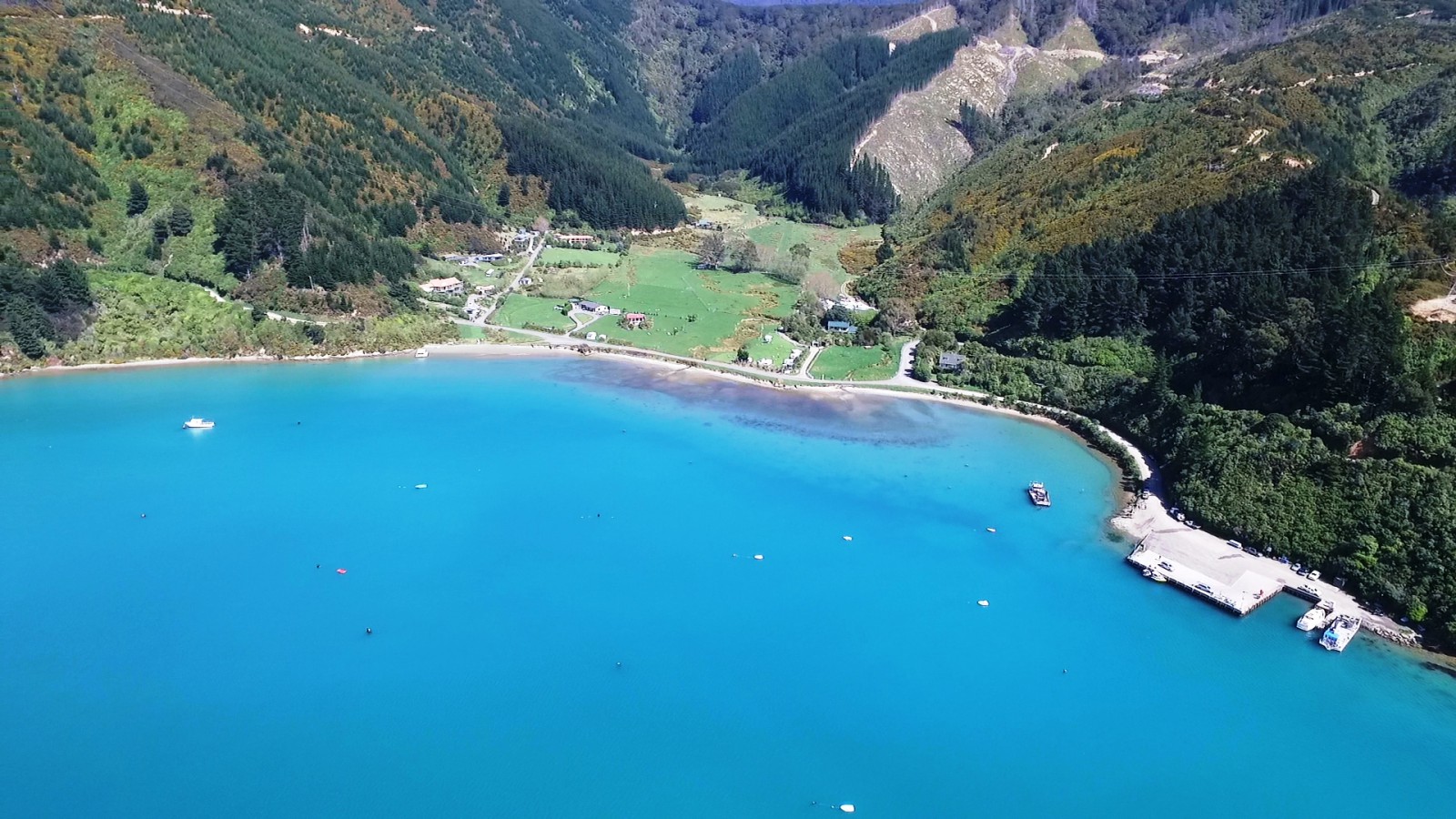
This bay receives its Māori name, Te Tio and its European name, a direct translation, Oyster Bay, from the abundance of oysters that were once found in the area.1
There is archaeological evidence of early occupation in the bay. The remains of several middens or refuse piles have been located, as well as a complex of mounds and an argillite adze. The mounds are probably evidence of a late but pre-European village.2
In 1839 the bay was purchased by the whaler John (Jacky) Guard from Eruini Te Tupe-o-Tu for 50 pounds.3
Eruini Te Tupe-o-Tū was a son of the celebrated warrior-chief Te Tupe-o-Tū of the Otaraua tribe from Taranaki. He had lived at Te Awaiti Bay in the Tory Channel for many years and took the European name, Edwin White.
Eruini Te Tupe-o-Tū was an influential individual and well known in the district. He was a whaler, ship owner and farmer and signed Te Tiriti/the Treaty of Waitangi at Queen Charlotte Sound on 4 May 1840.4
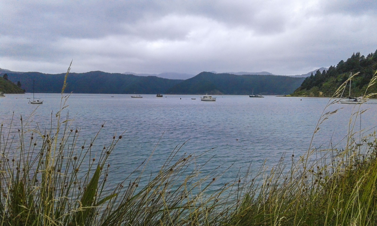
During the 1830s and 1840s Te Whanganui/Port Underwood was a hub of whaling activity. Shore whaling stations camped in the surrounding bays and ships from all over the world re-provisioned at Oyster Bay.5
In 1857 John Guard Junior moved to the bay and operated the post office there. A school was also located in the bay for several years.
In the late 1950s and early 1960s, a road from Whatamango Bay was constructed connecting Oyster Bay with Picton. This construction coincided with the extension of power lines into Port Underwood and from that time onwards the number of holiday homes in the area increased rapidly.
A large camp for the Electricity Department workers was also based in Oyster Bay while the construction of the lines was taking place.6
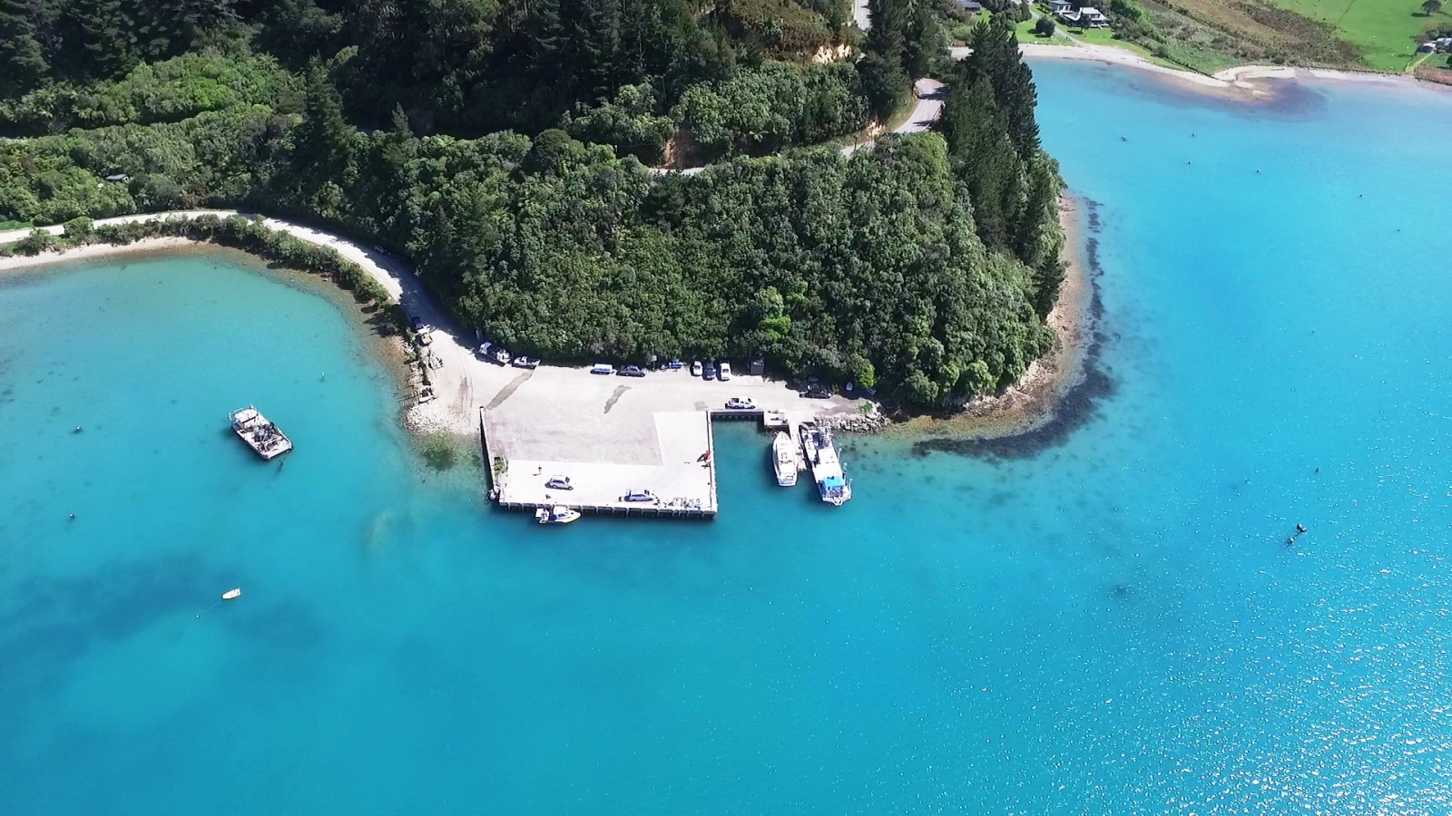
The south-eastern point in the bay is named Willawa Point. The point projects into the harbour causing the strong northerly wind gusts to eddy about creating minor water spouts. The name comes from a nineteenth century word for violent wind gusts.7
The bay is now an important port for the mussel industry.
1. James R. Eyles, Place Names of Port Underwood - a post European History, (Picton: October Enterprises, 2002) 20.
2. Michael M Trotter, Port Underwood Archaeological Survey, (Christchurch: Canterbury Museum, 1976) 12.
3. Loreen Brehaut, the Bays of Port Underwood, (Picton: Picton Historical Society, 2012) 9.
4. “Eruini Te Tupe-o-Tū”, New Zealand History, accessed April 3, 2019, https://nzhistory.govt.nz/politics/treaty/signatory/8-38 .
5. Eyles, ‘Names of Port Underwood’, 19.
6. Nelson Historical Society, “Tua Marina and Port Underwood”, Nelson Historical Society Journal, Volume 3, Issue 1, (1974), accessed February 5, 2019, http://nzetc.victoria.ac.nz/tm/scholarly/tei-NHSJ03_01-t1-body1-d6.html .
7. Eyles, ‘Names of Port Underwood’, 19.